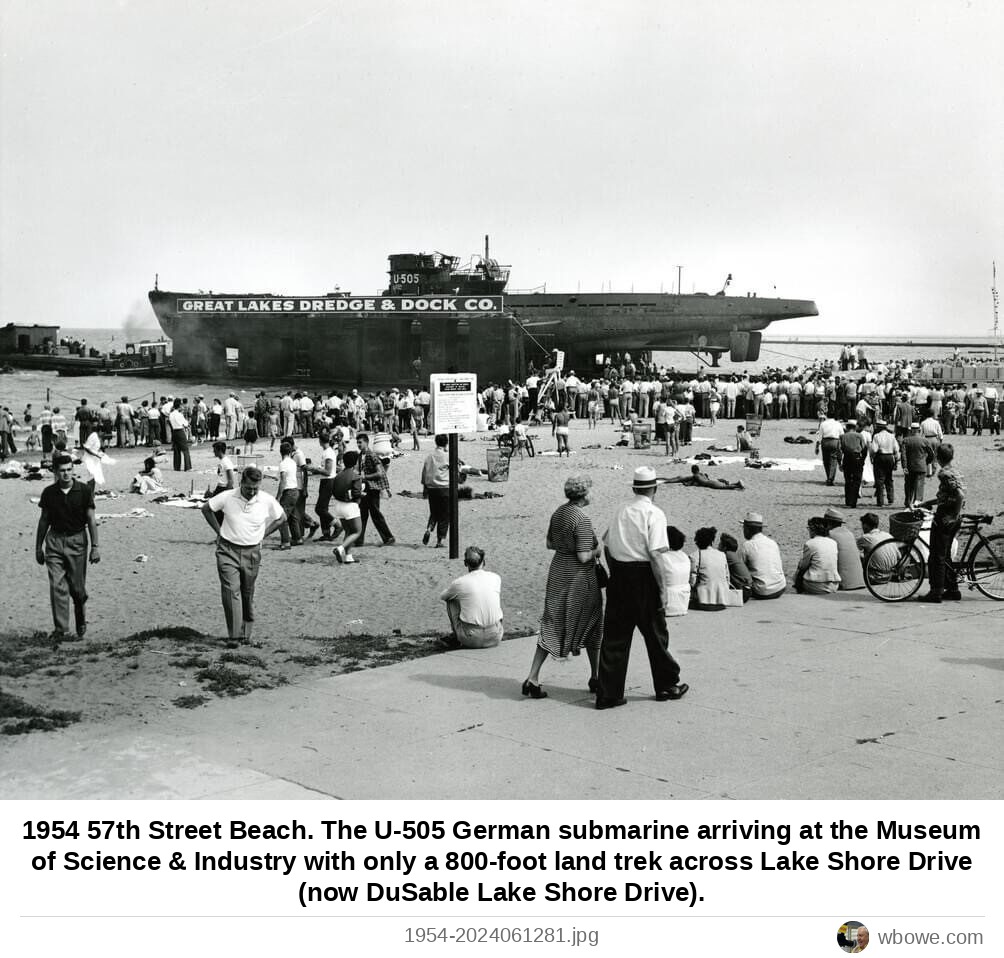
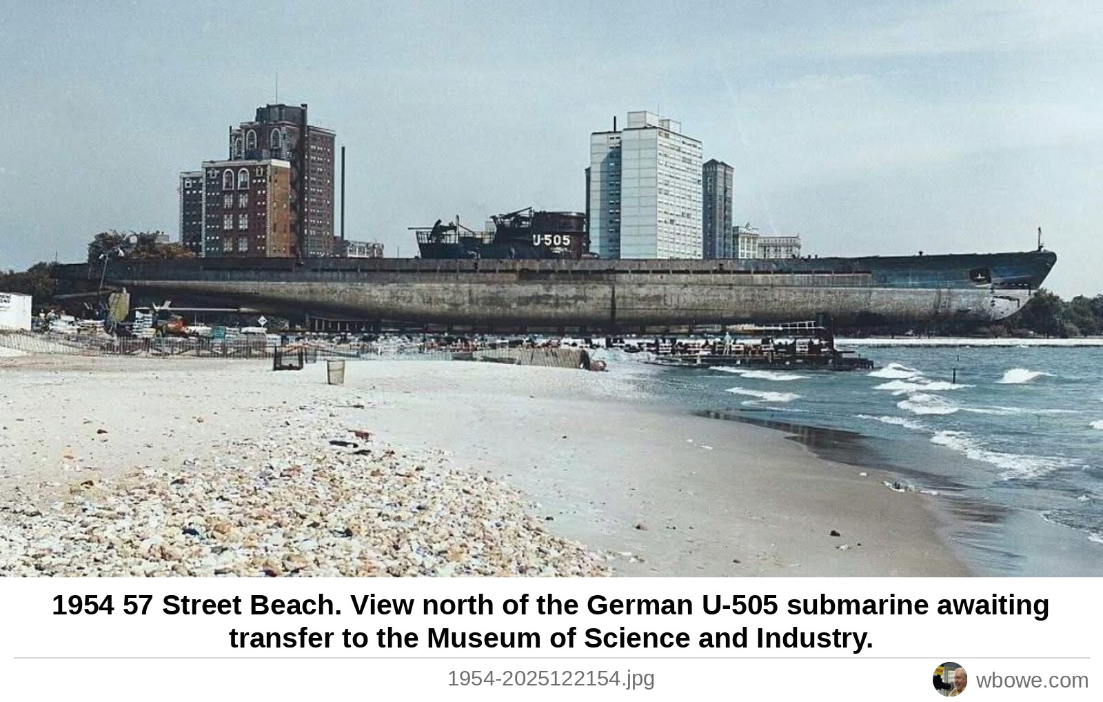
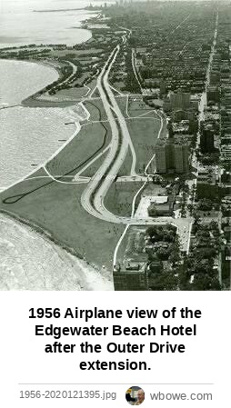
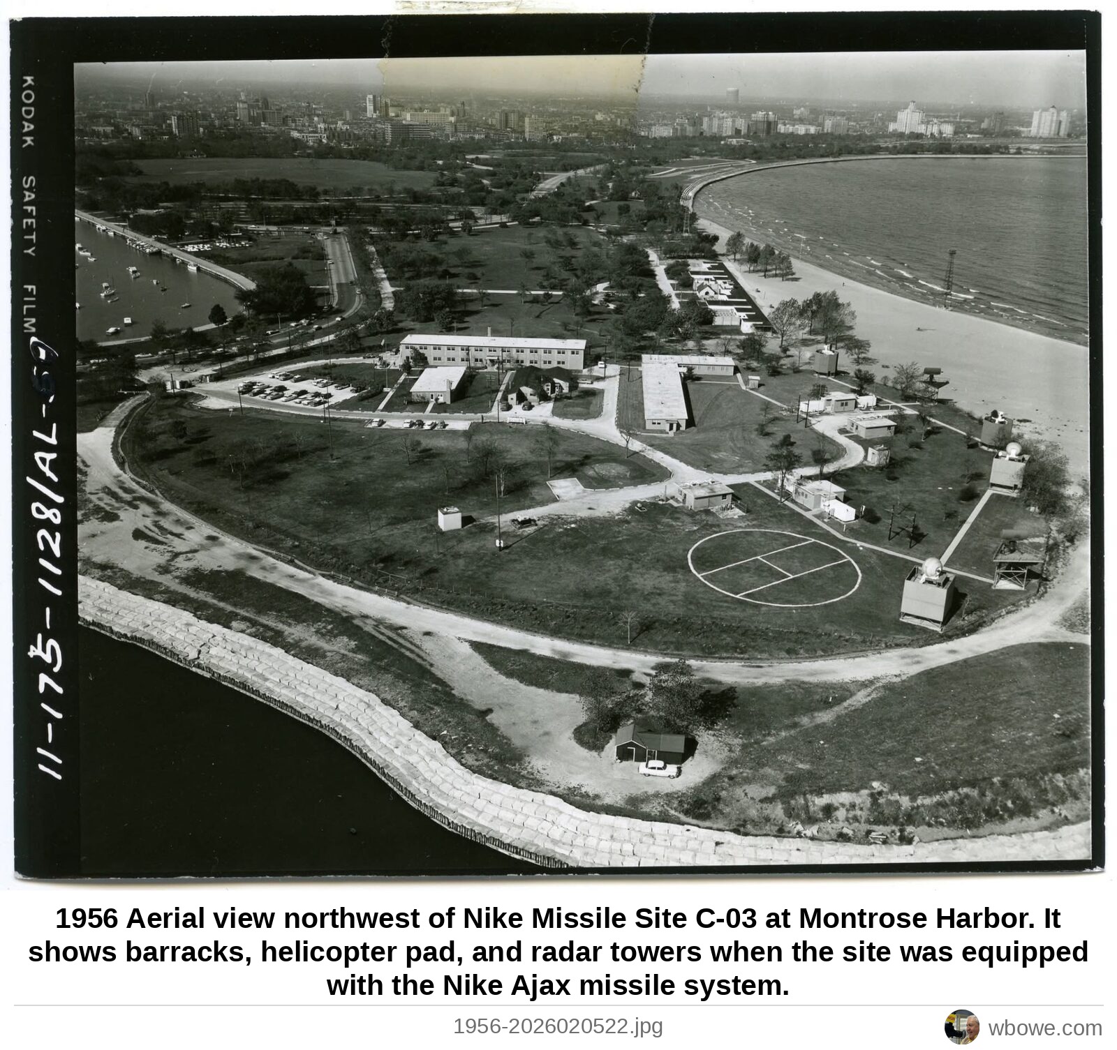
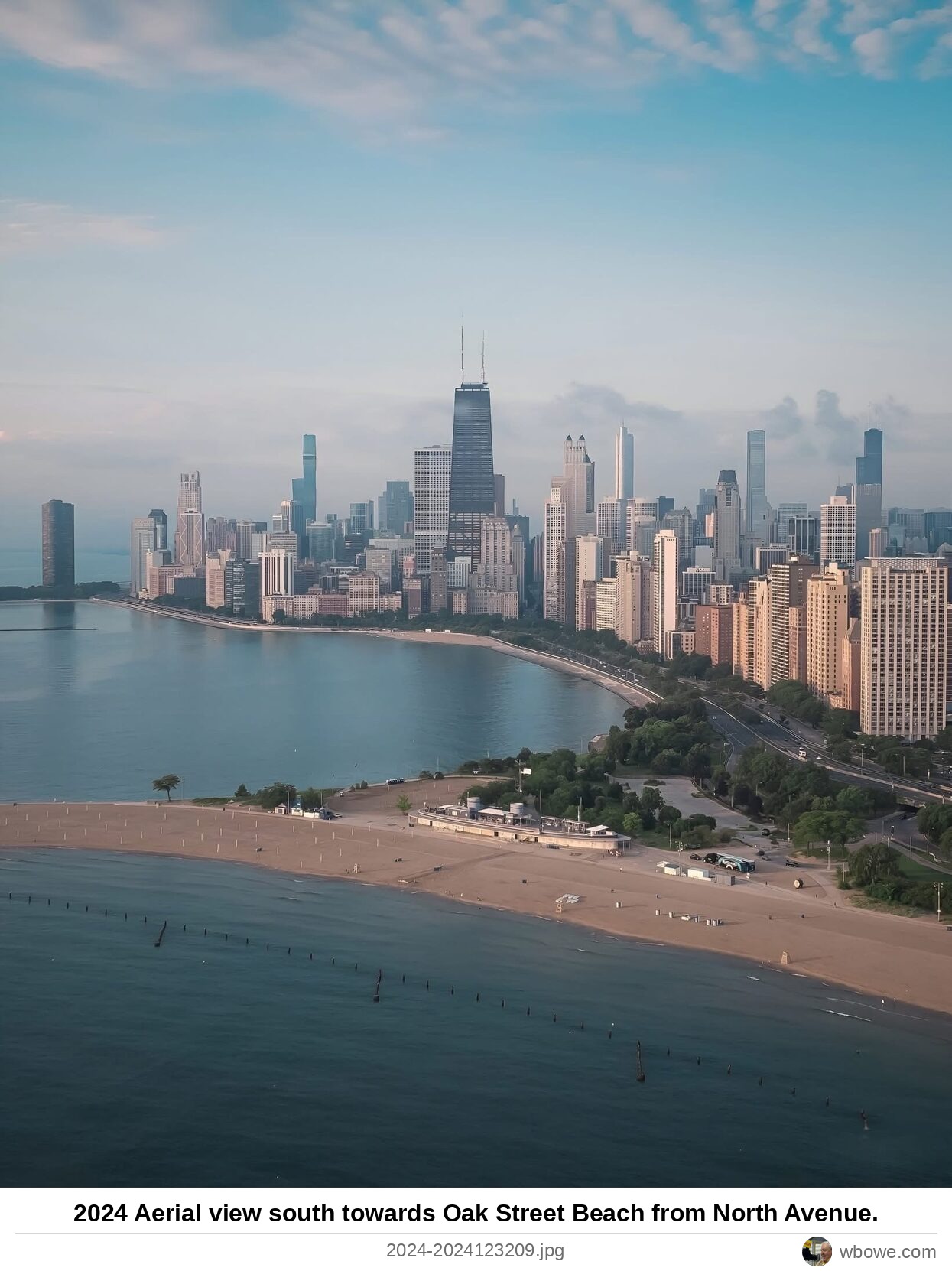
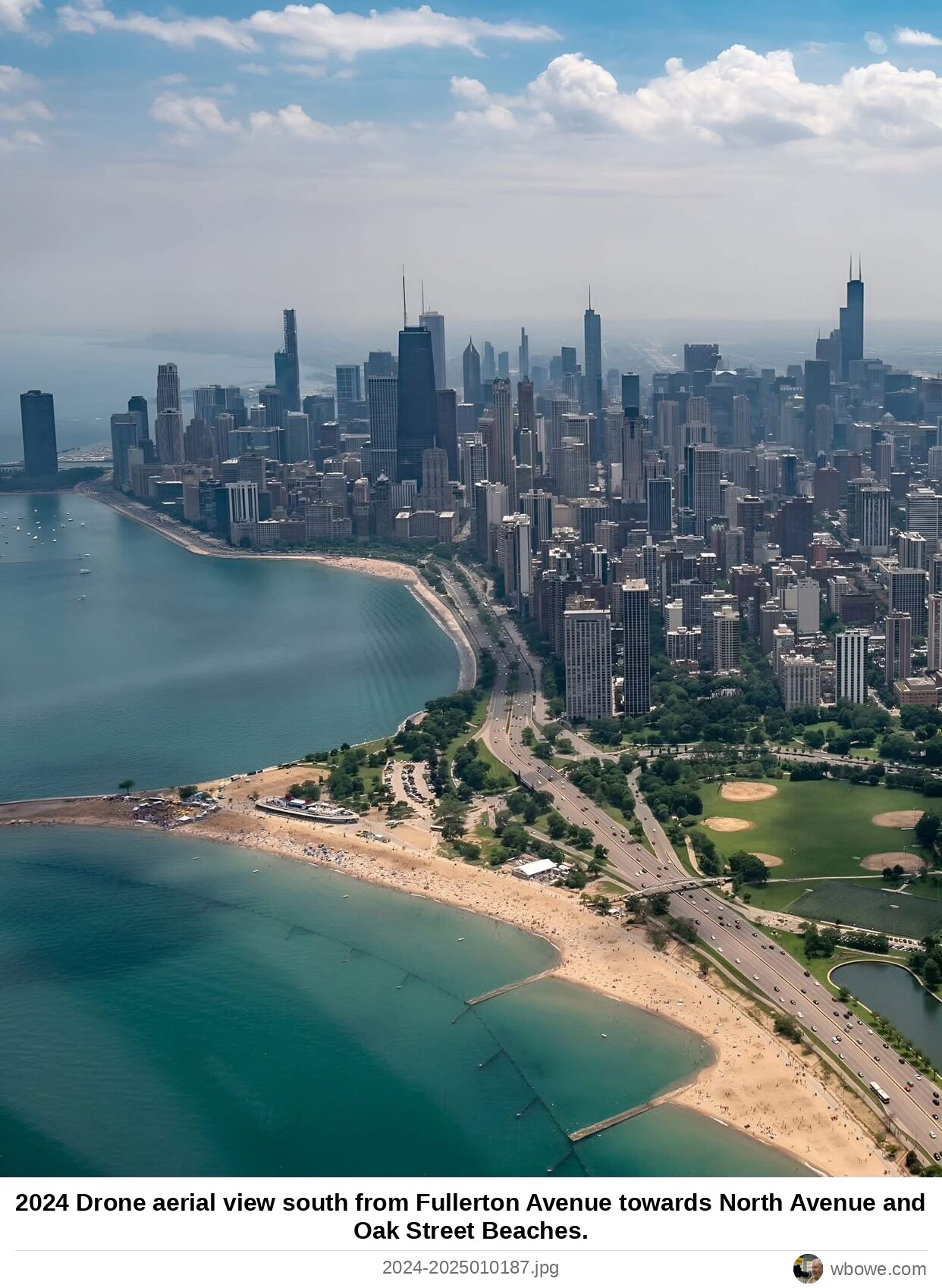
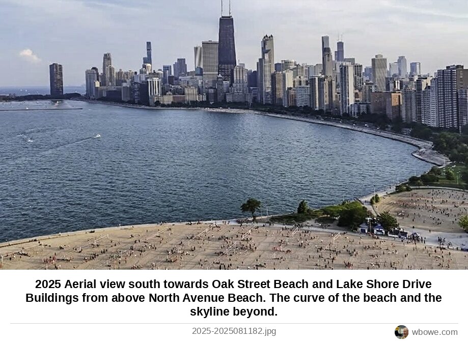
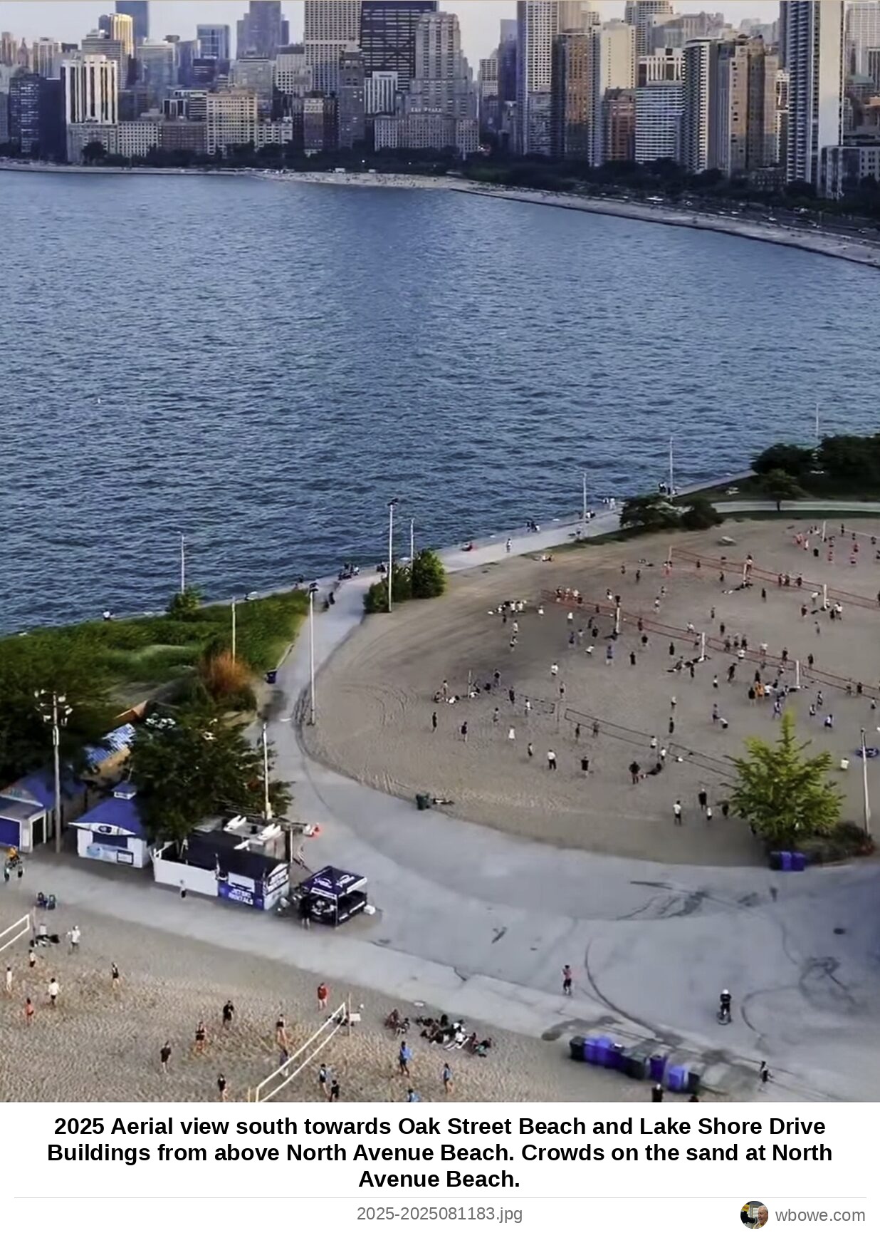
Vintage Chicago › Neighborhoods › Greater ChicagoGreater Chicago: 177 vintage photos, 1673– Every Greater Chicago photograph on the Vintage Chicago map , oldest first. The color bar on each photo shows its era. Click a photo for its full story and its place on the map.
Open Greater Chicago on the Vintage Chicago map
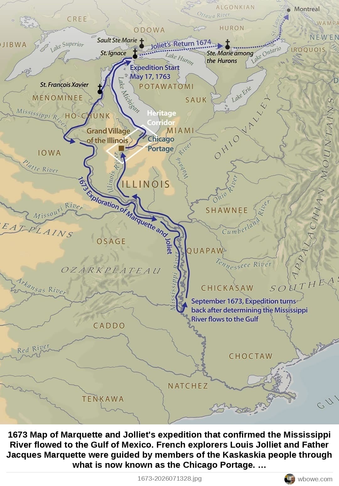
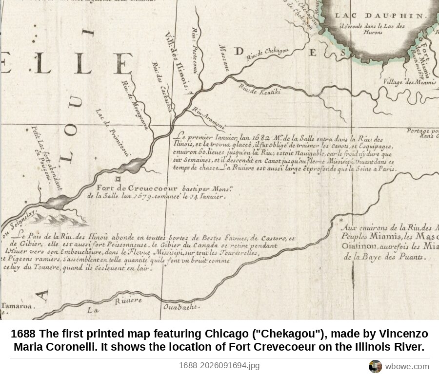
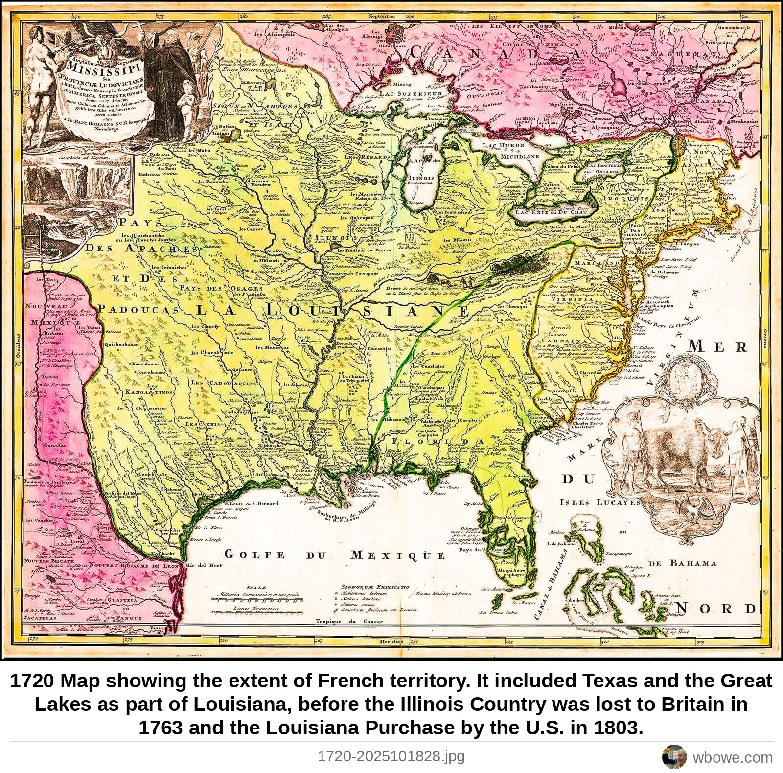
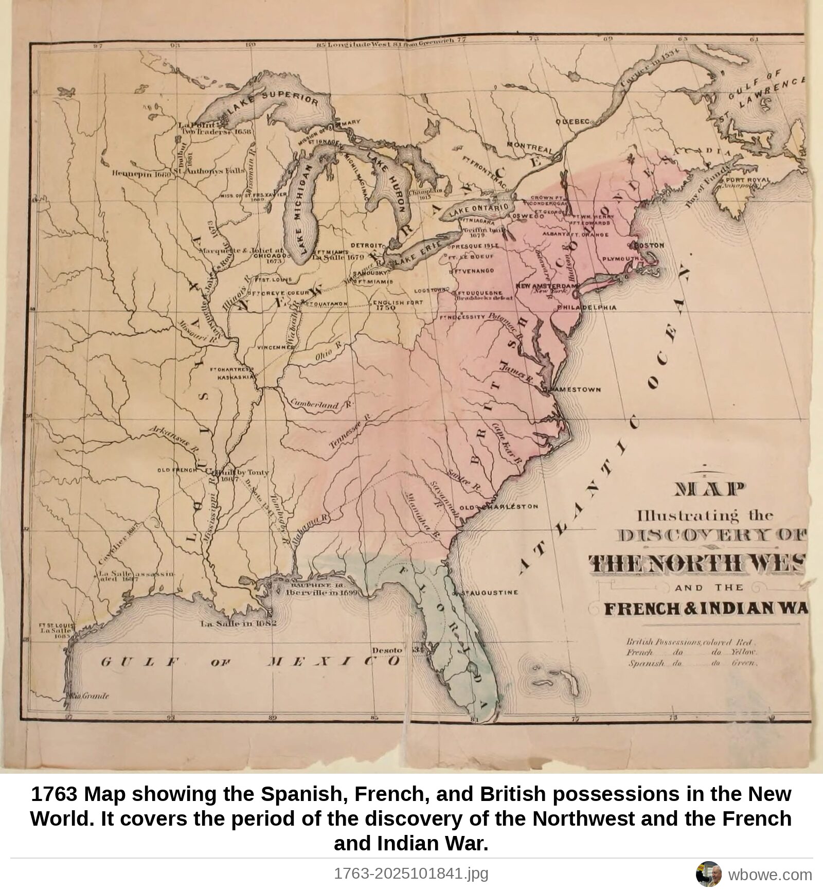
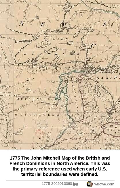
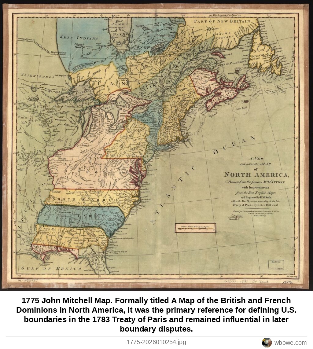
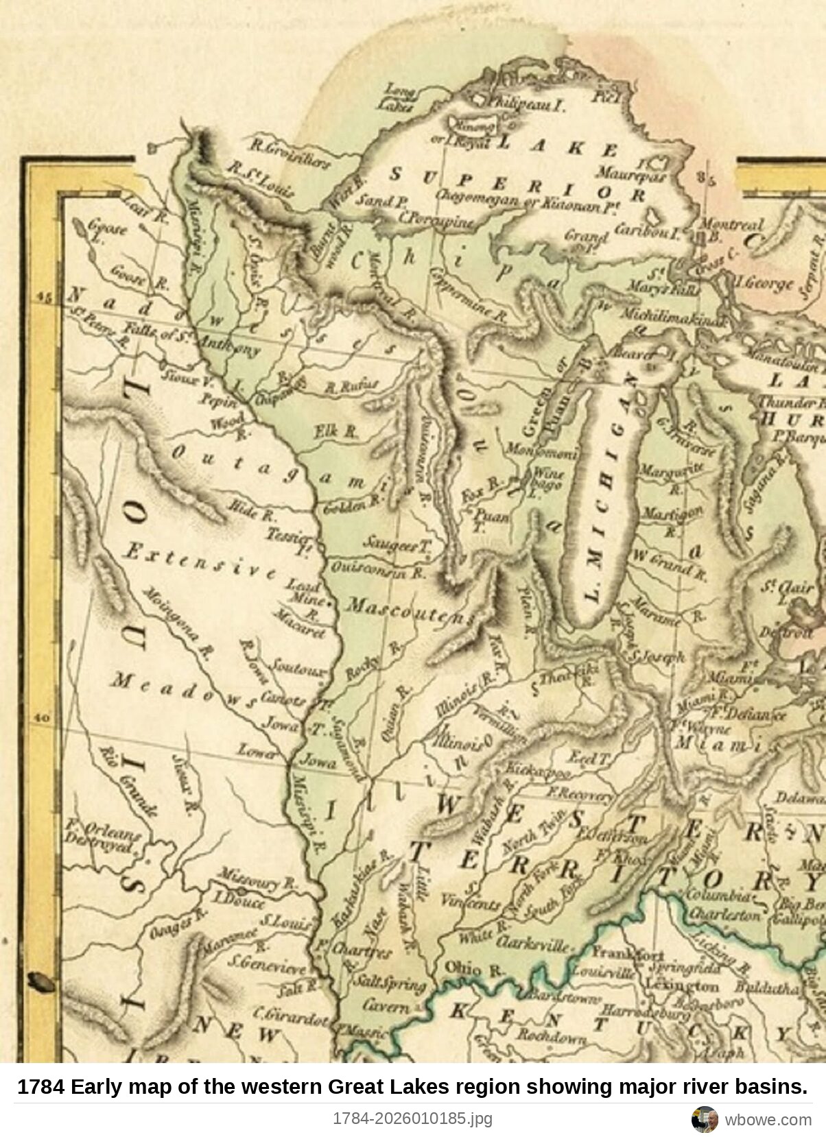
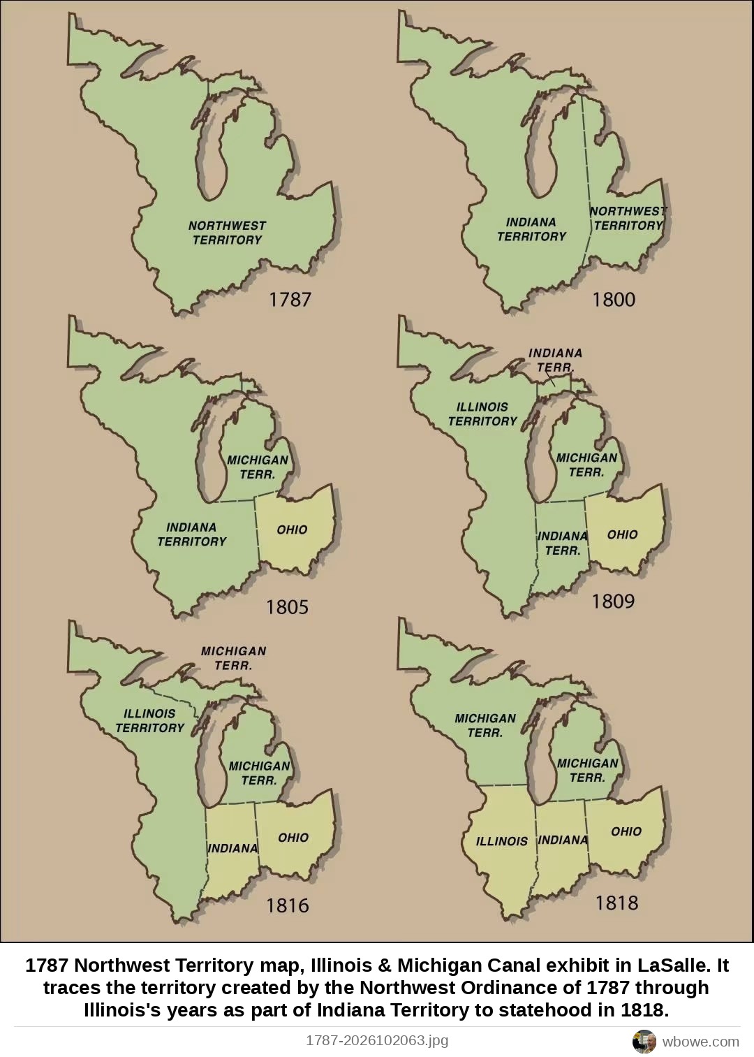
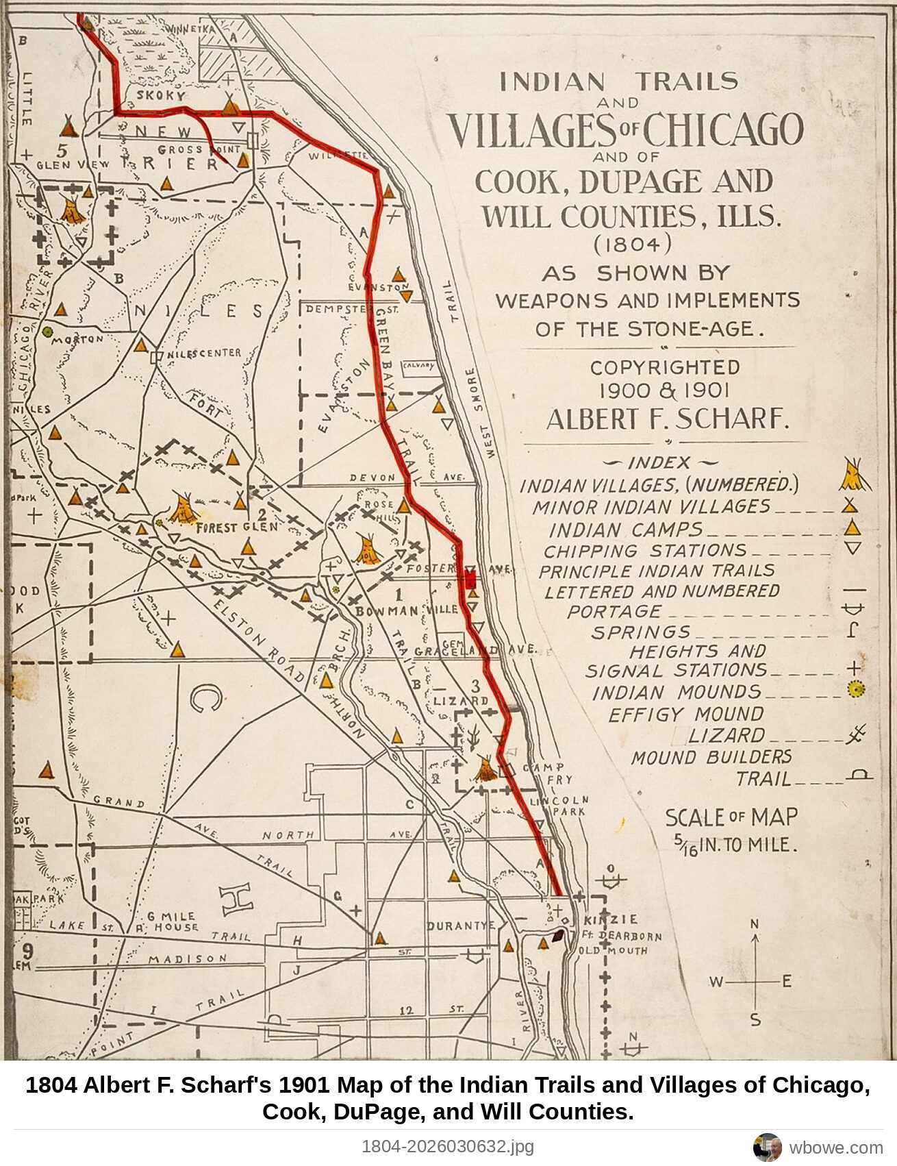
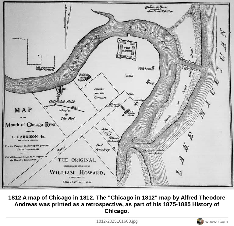
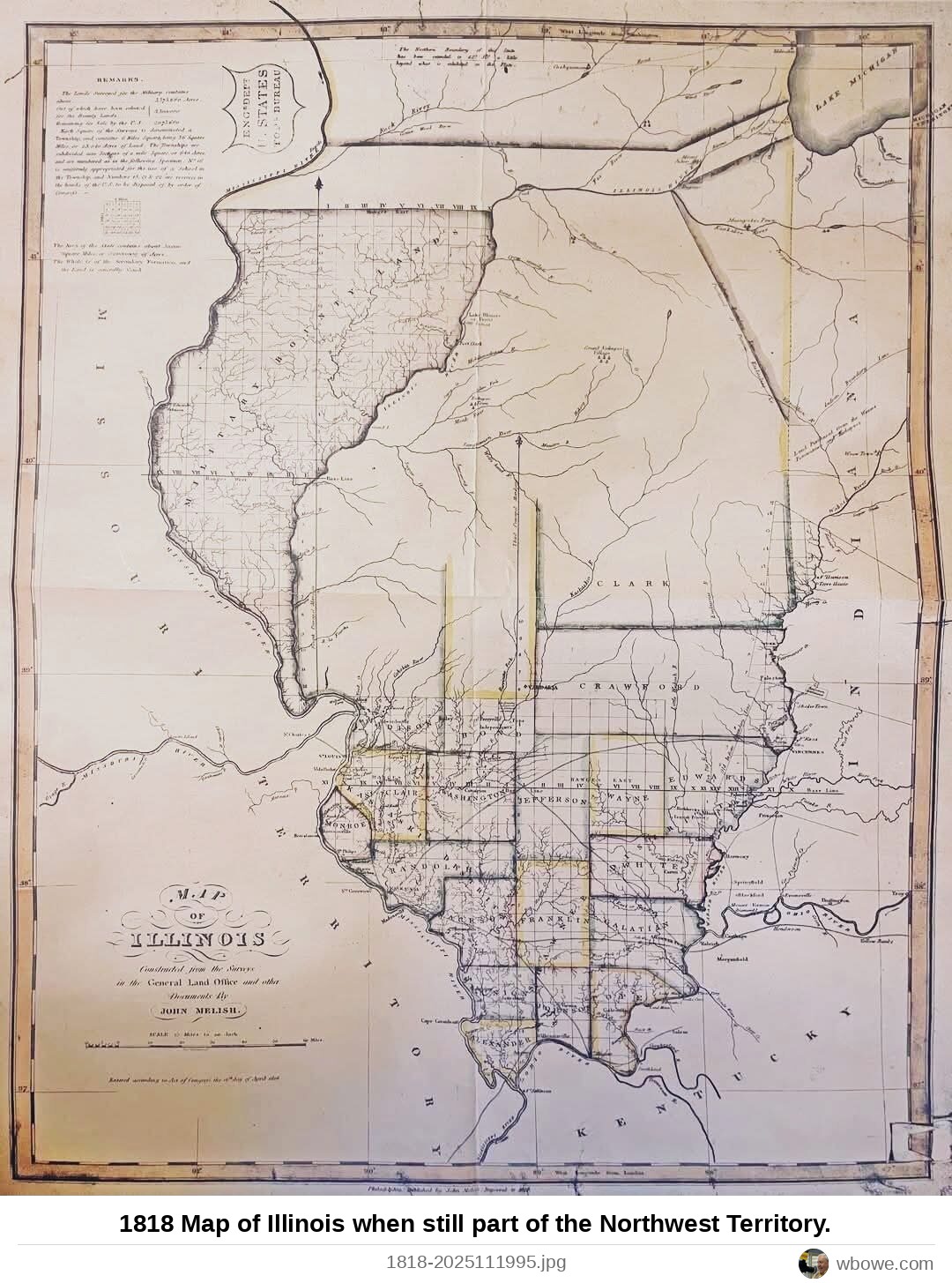
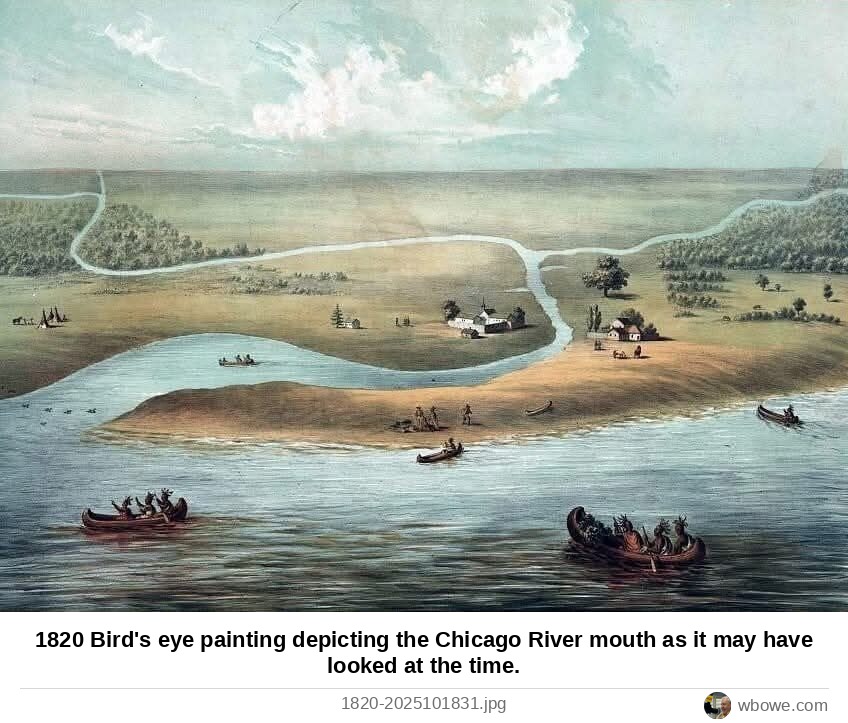
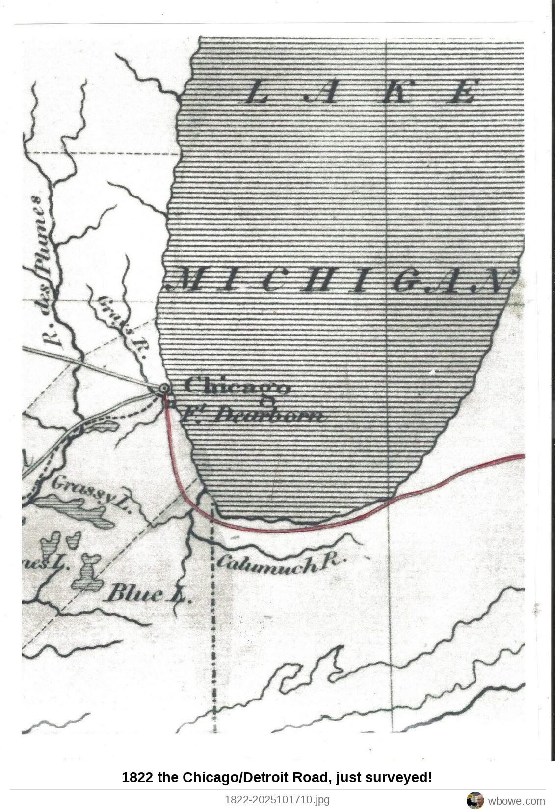
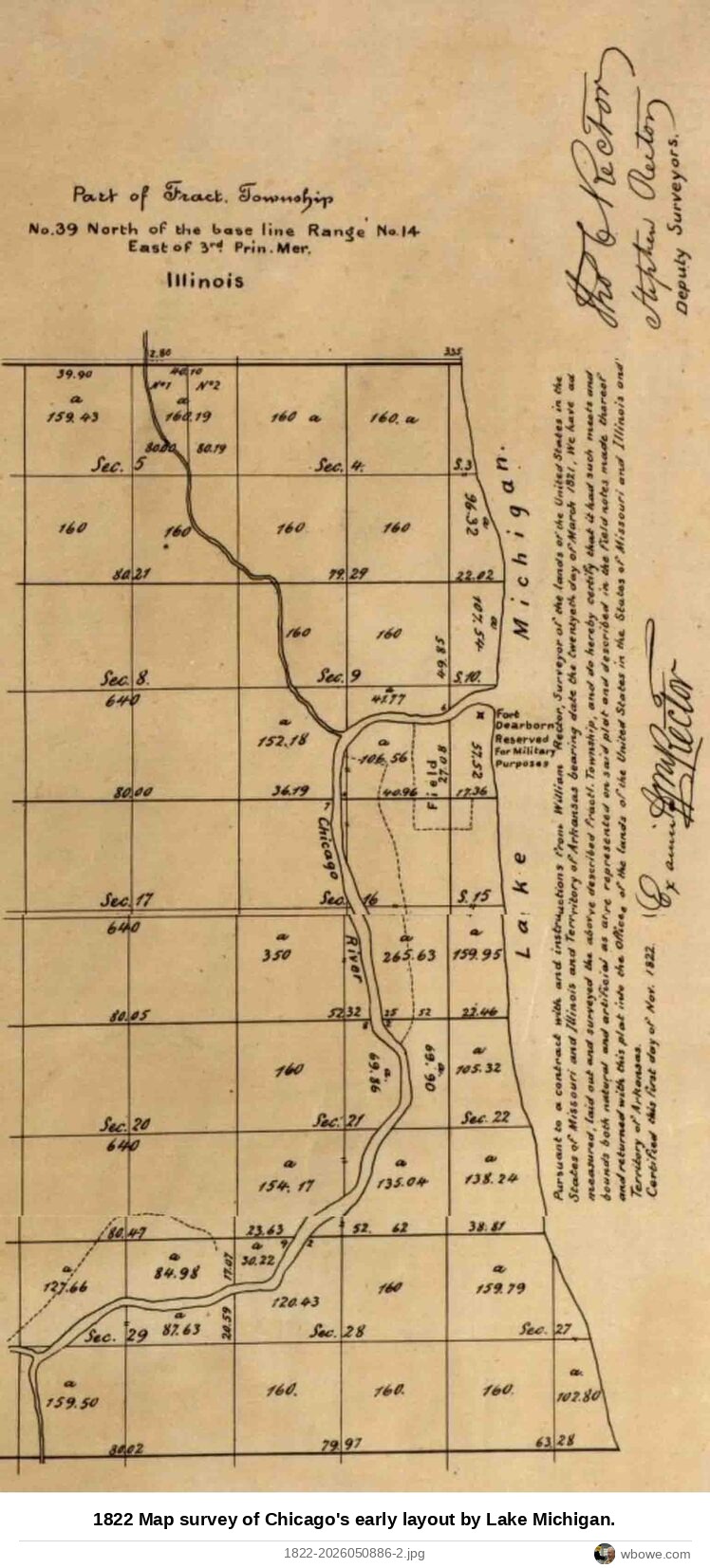
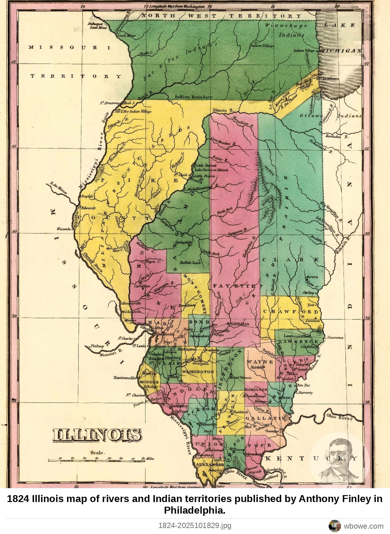
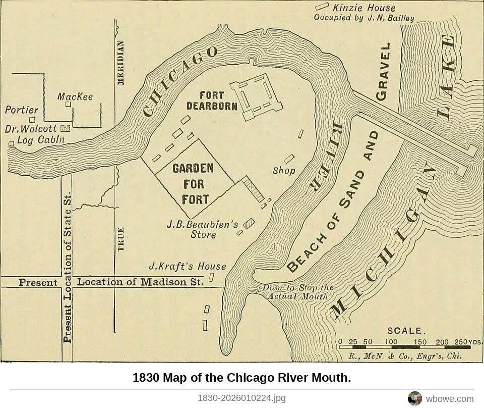
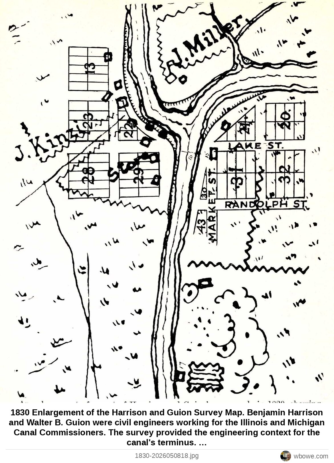
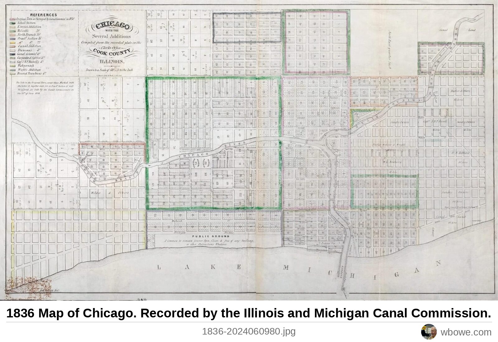
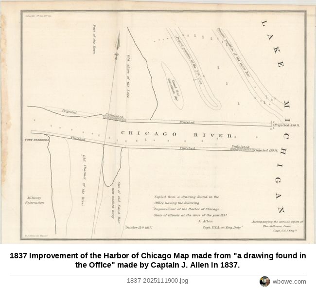
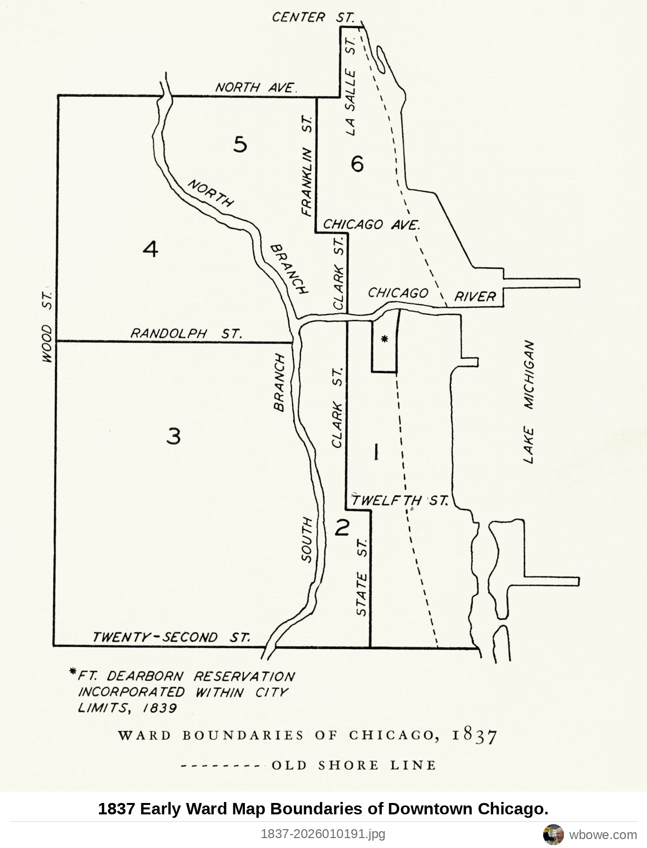
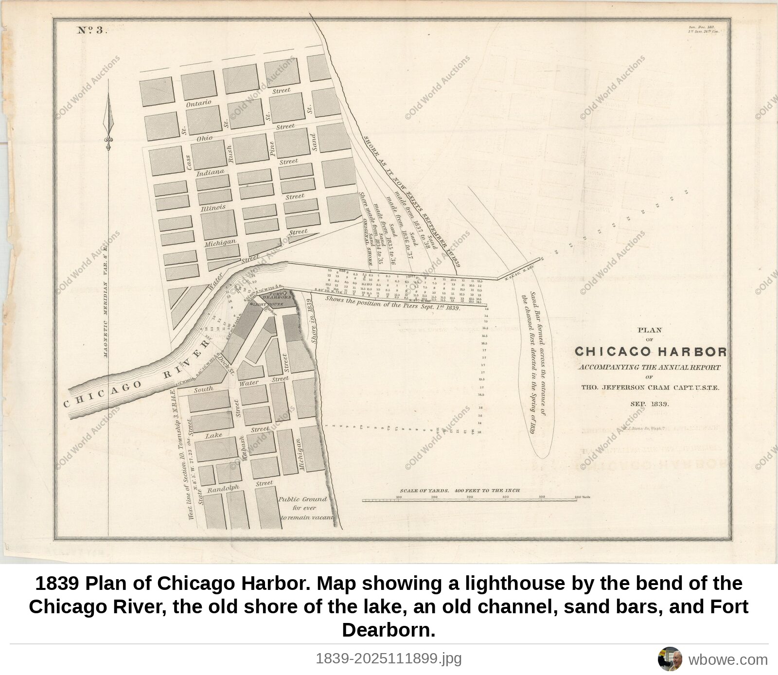
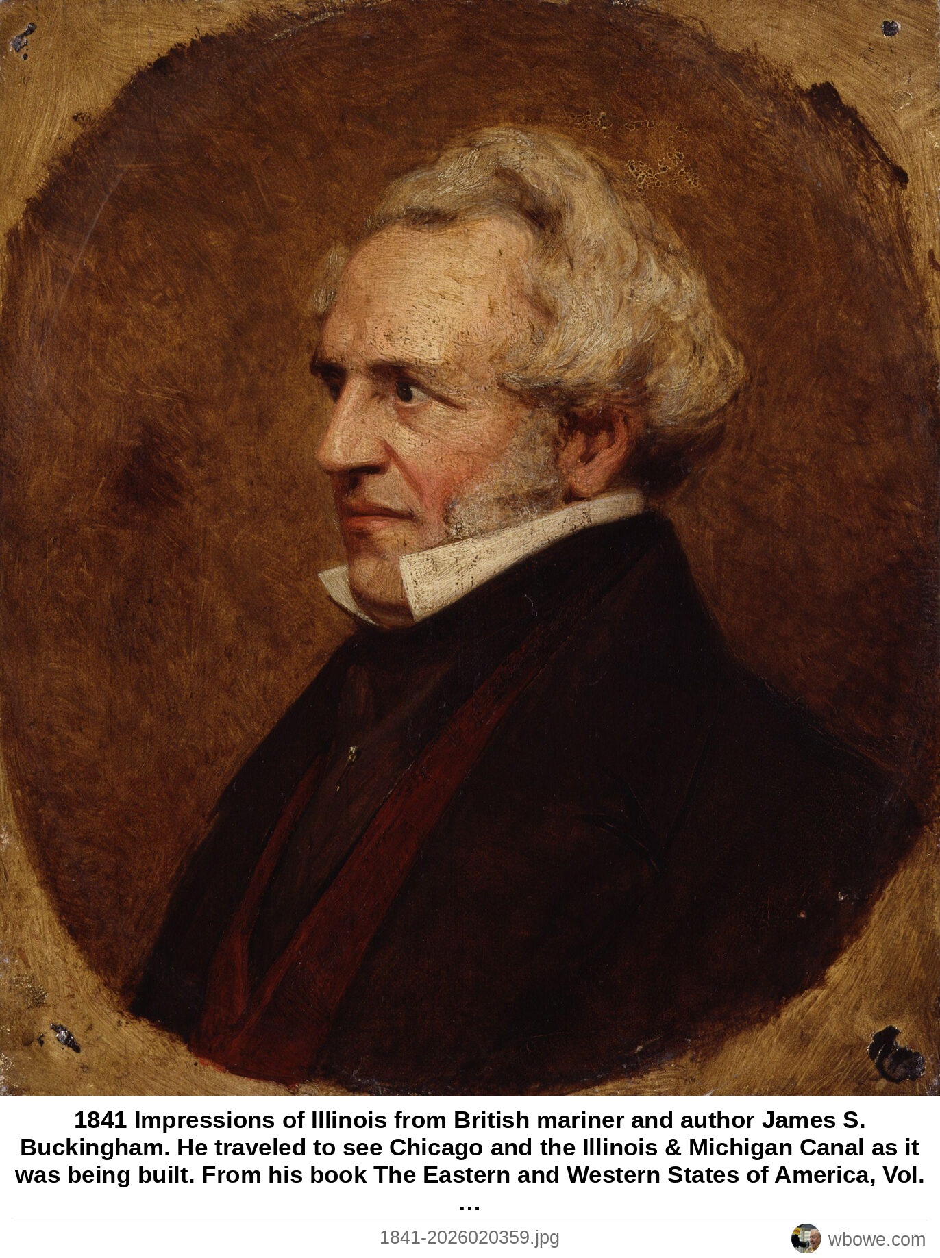
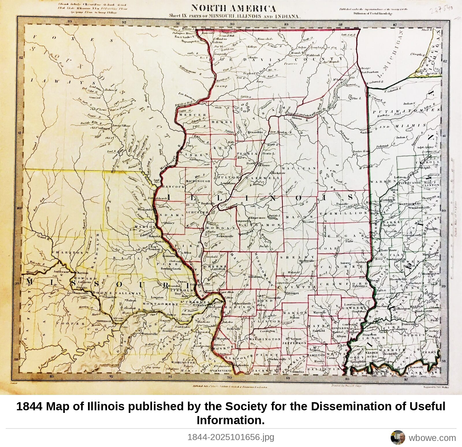
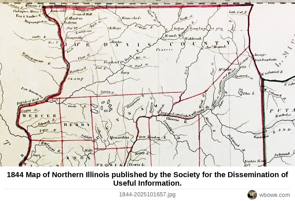
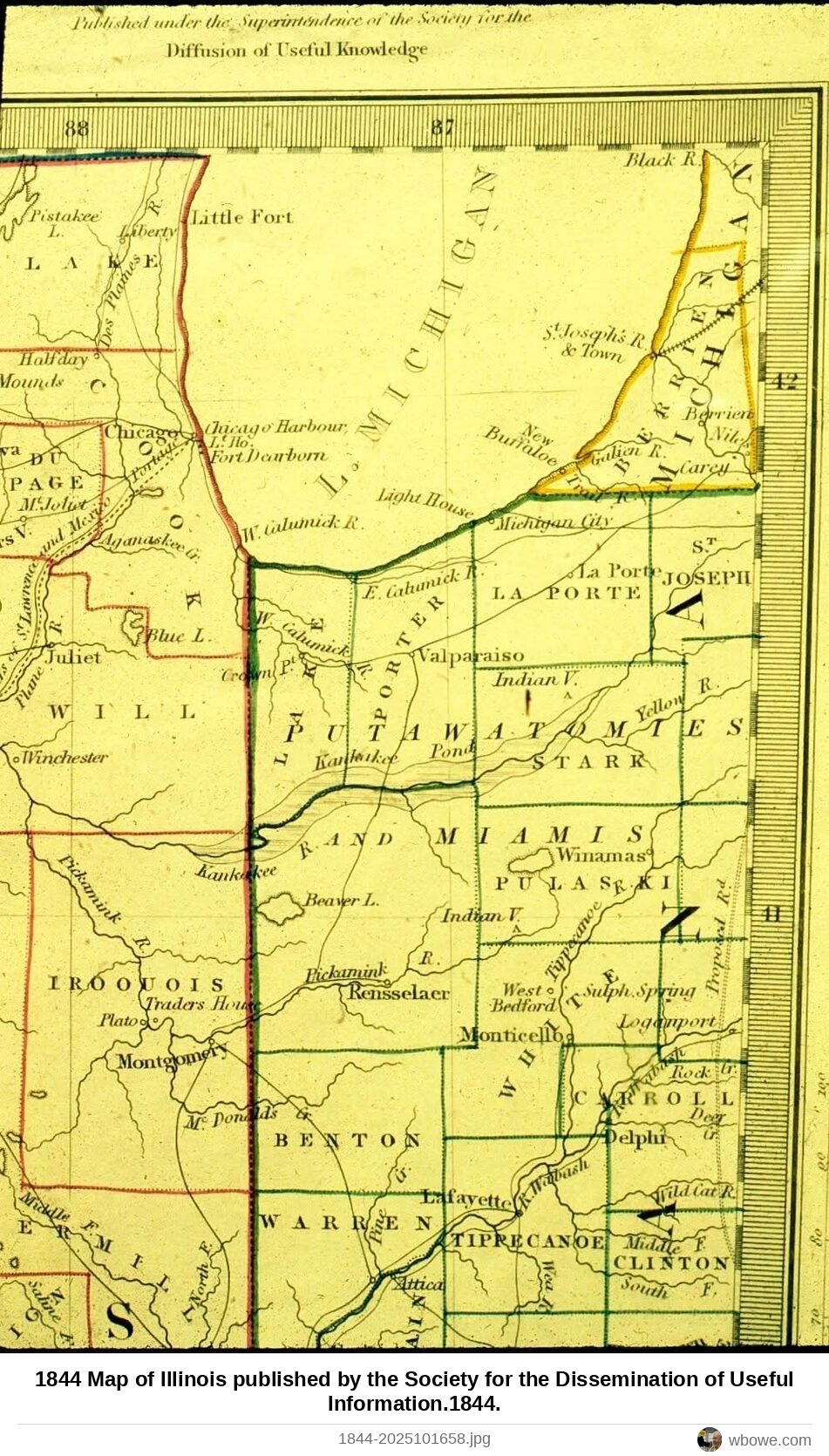
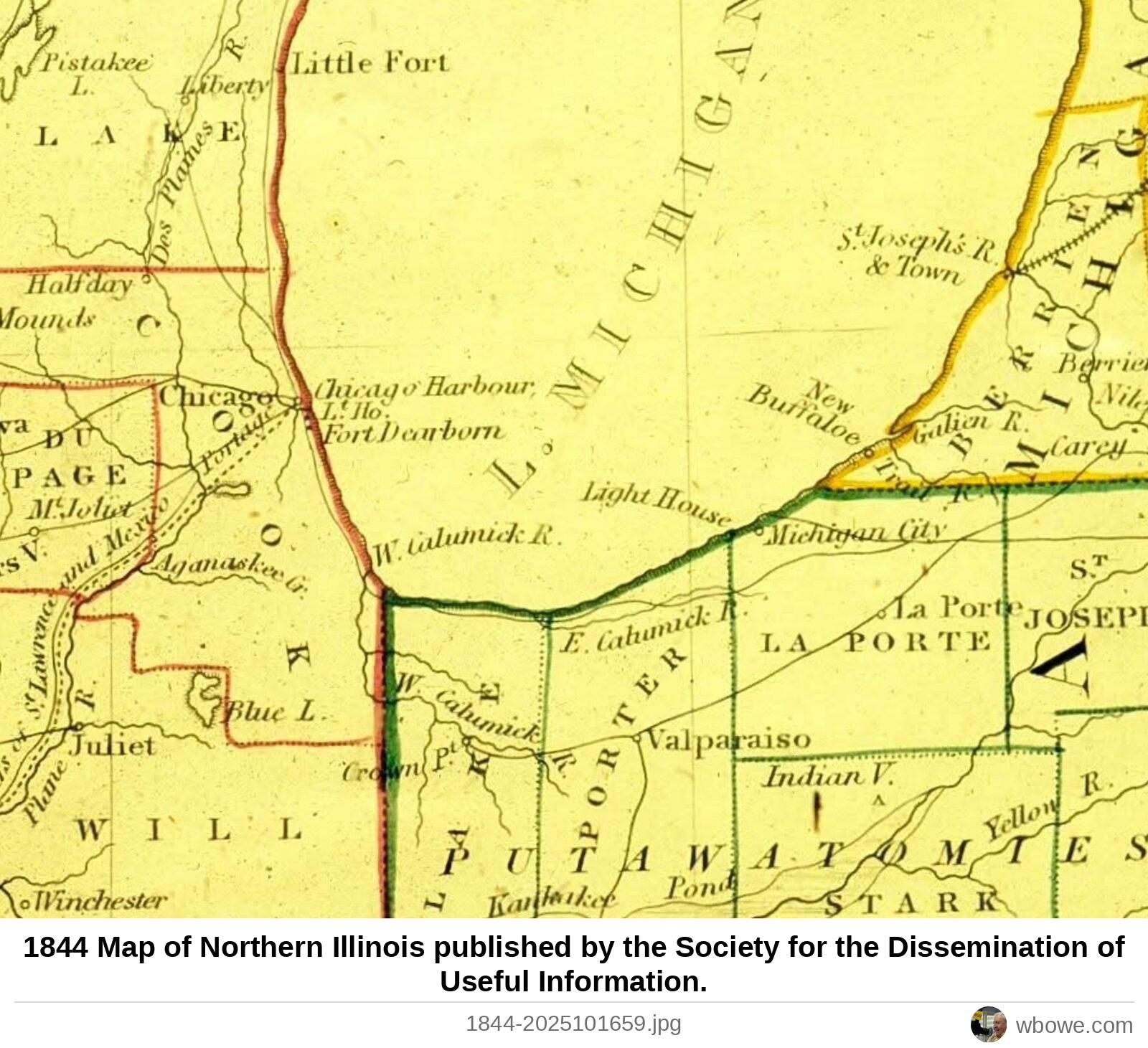
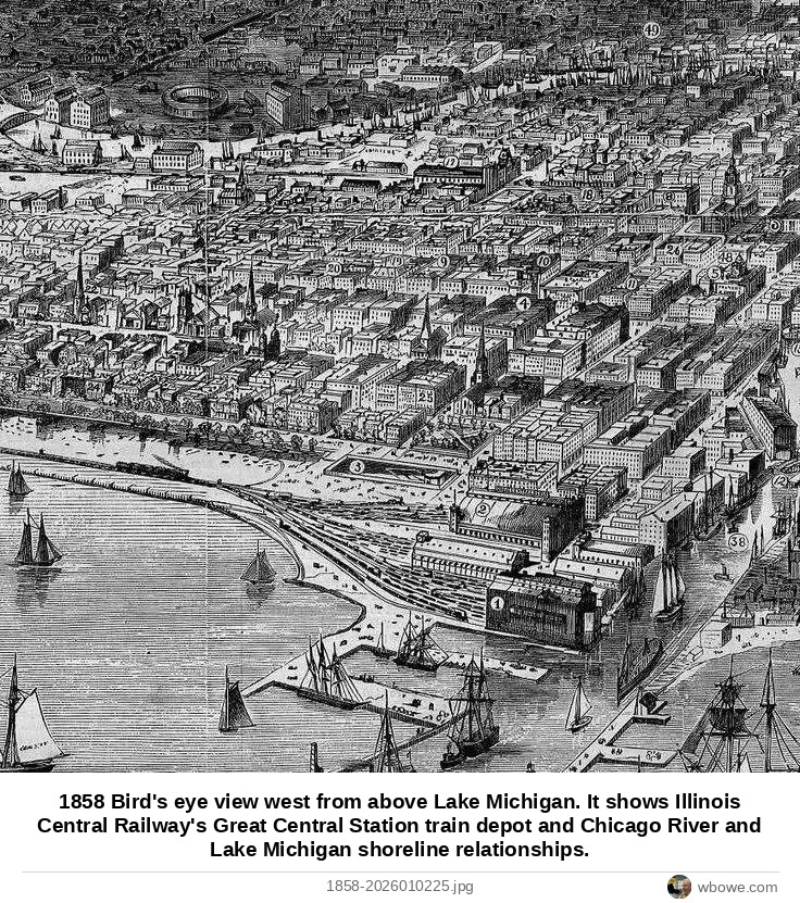
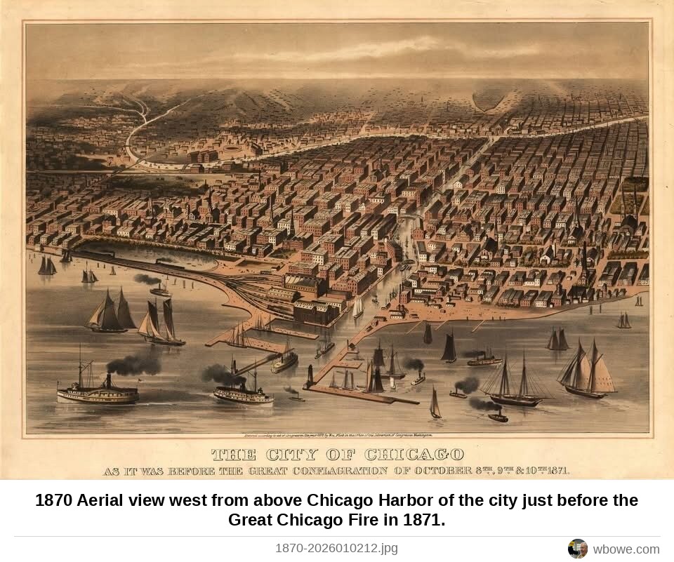
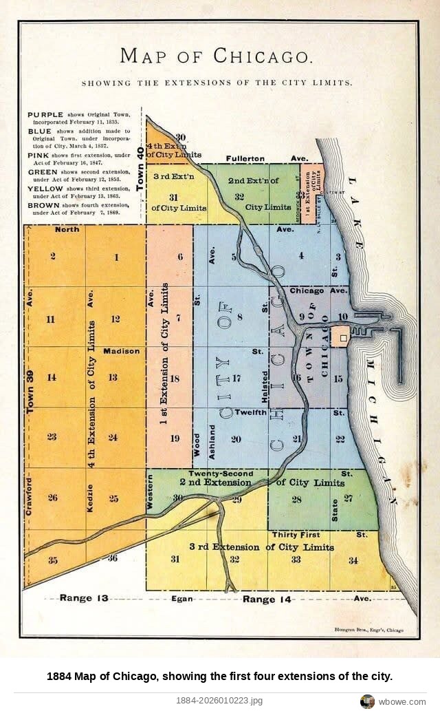
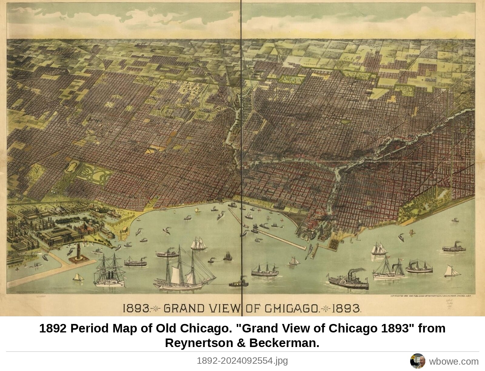
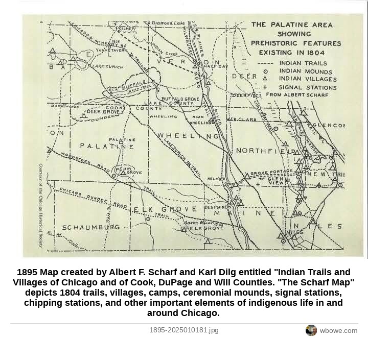
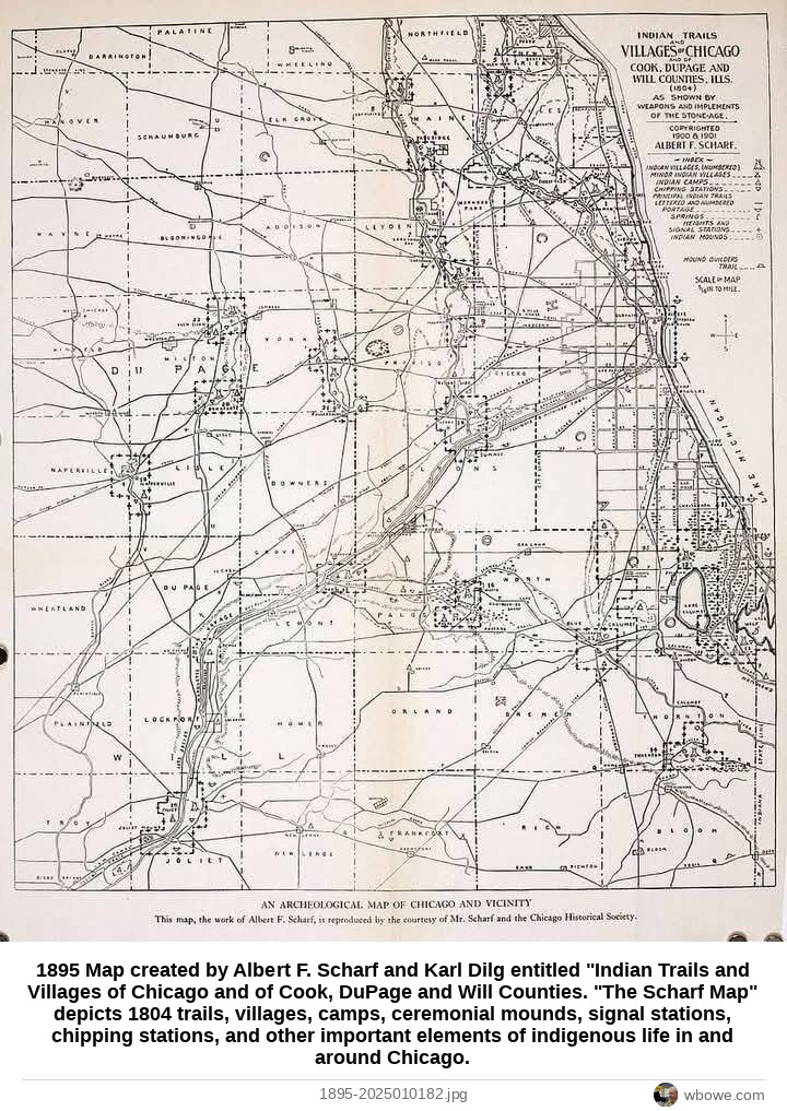
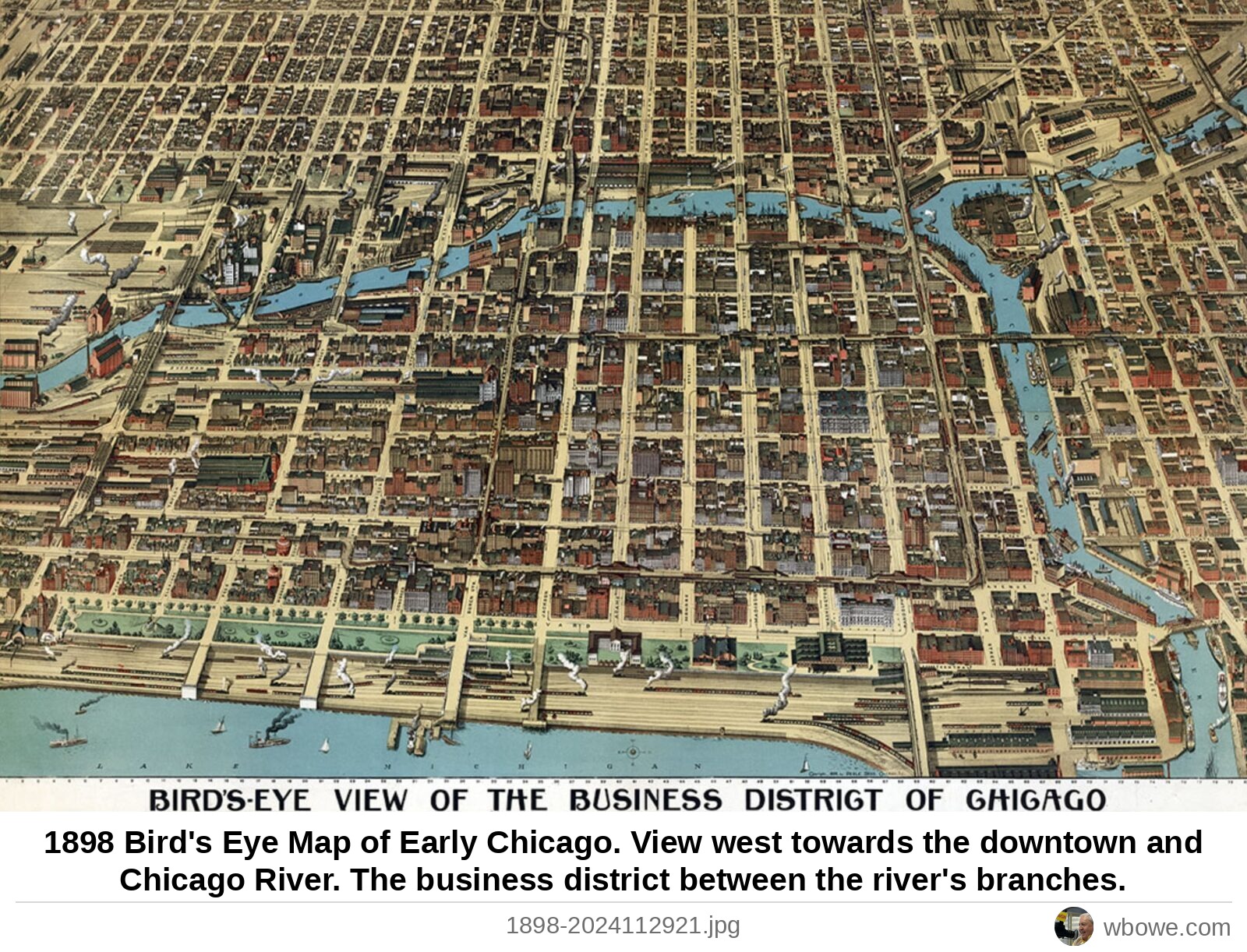
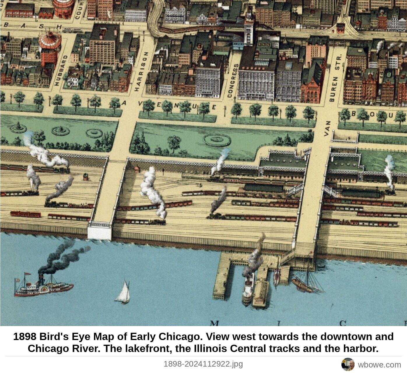
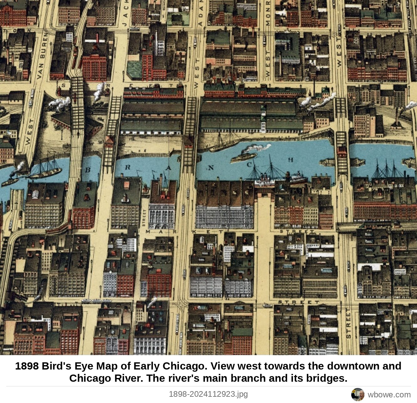
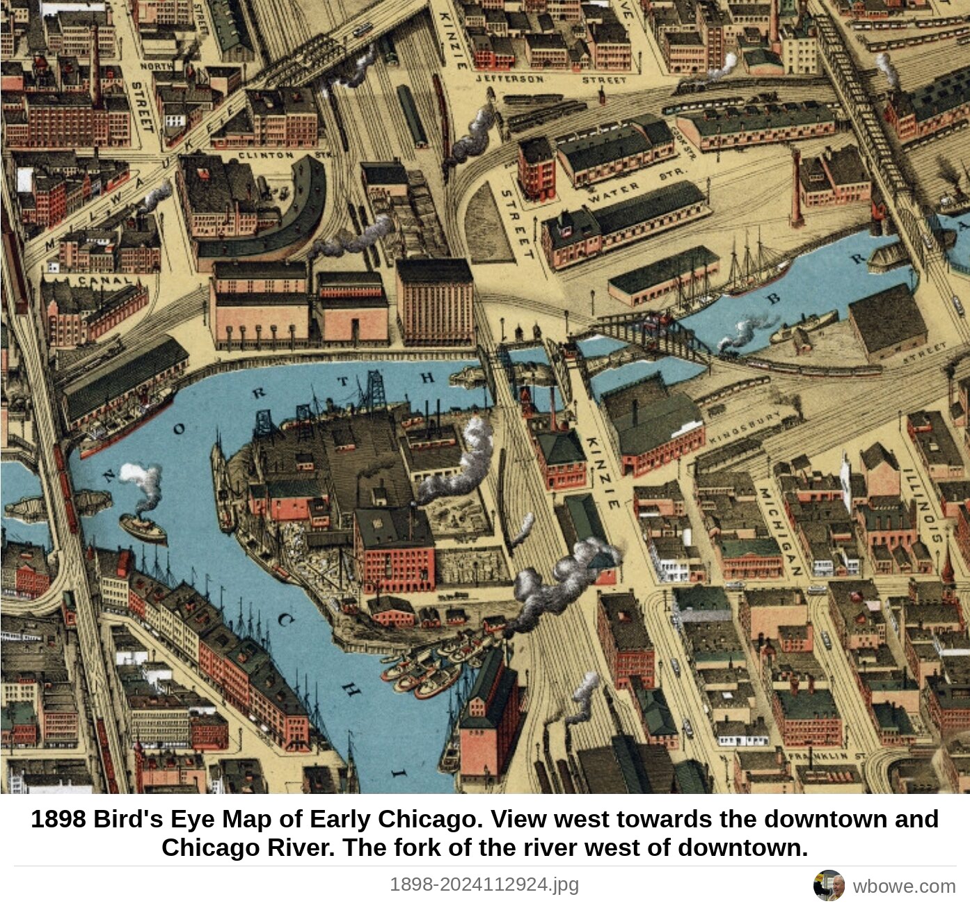
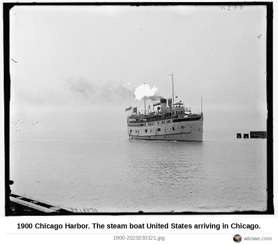
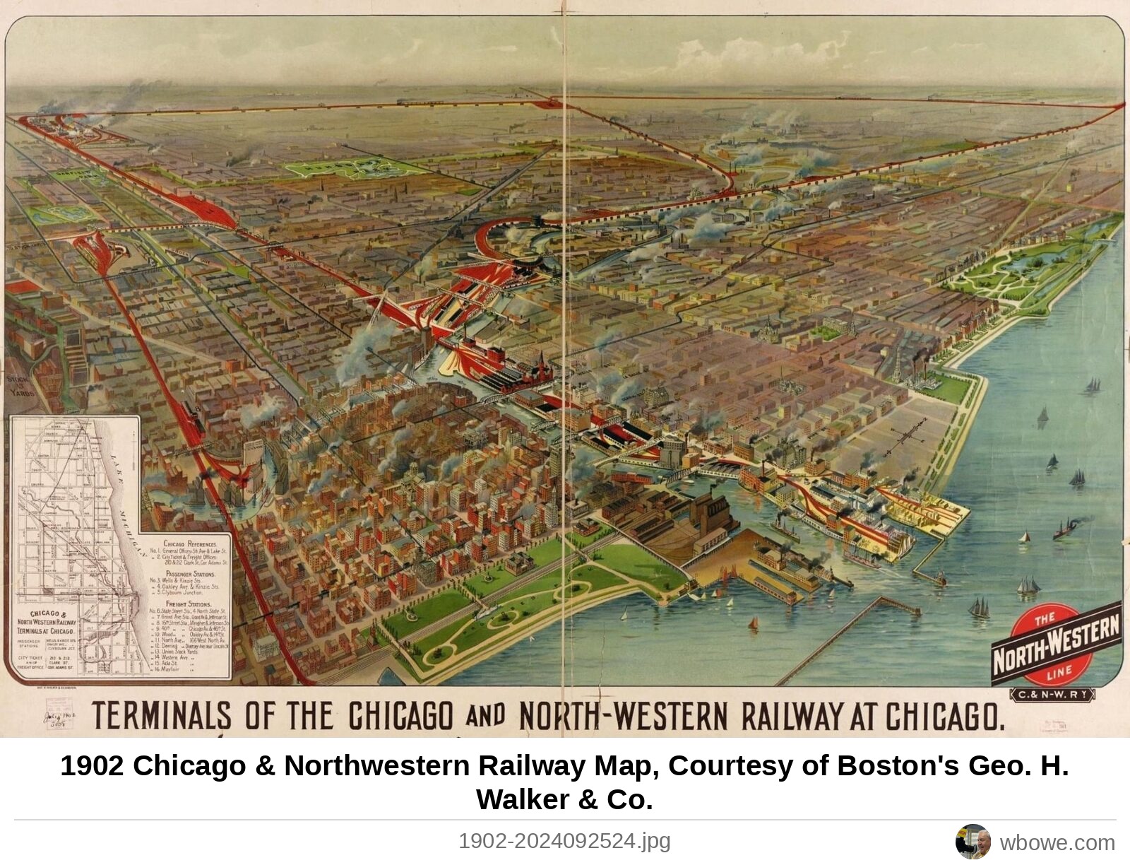
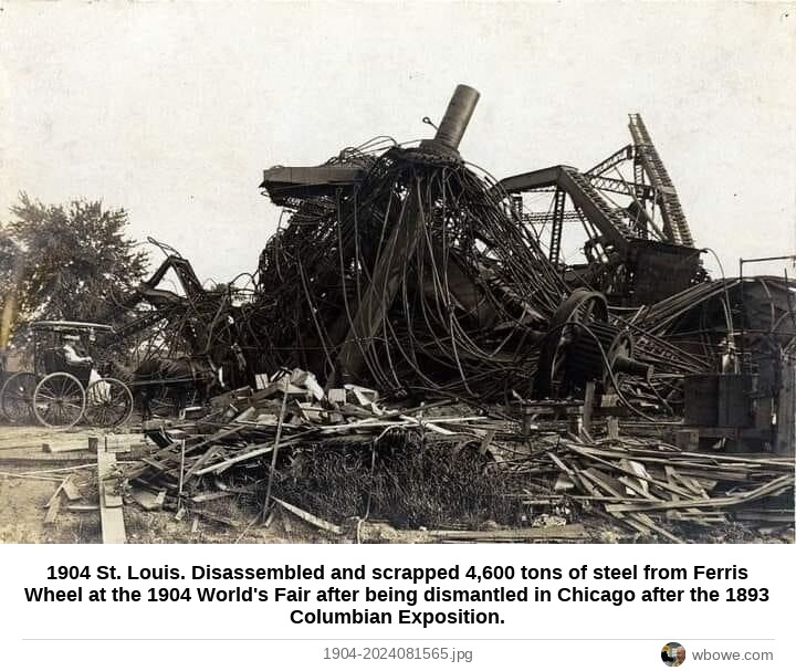
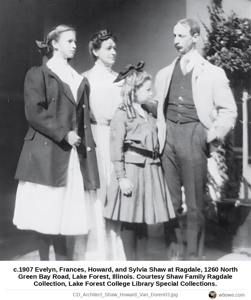
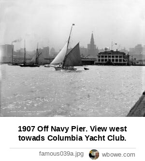
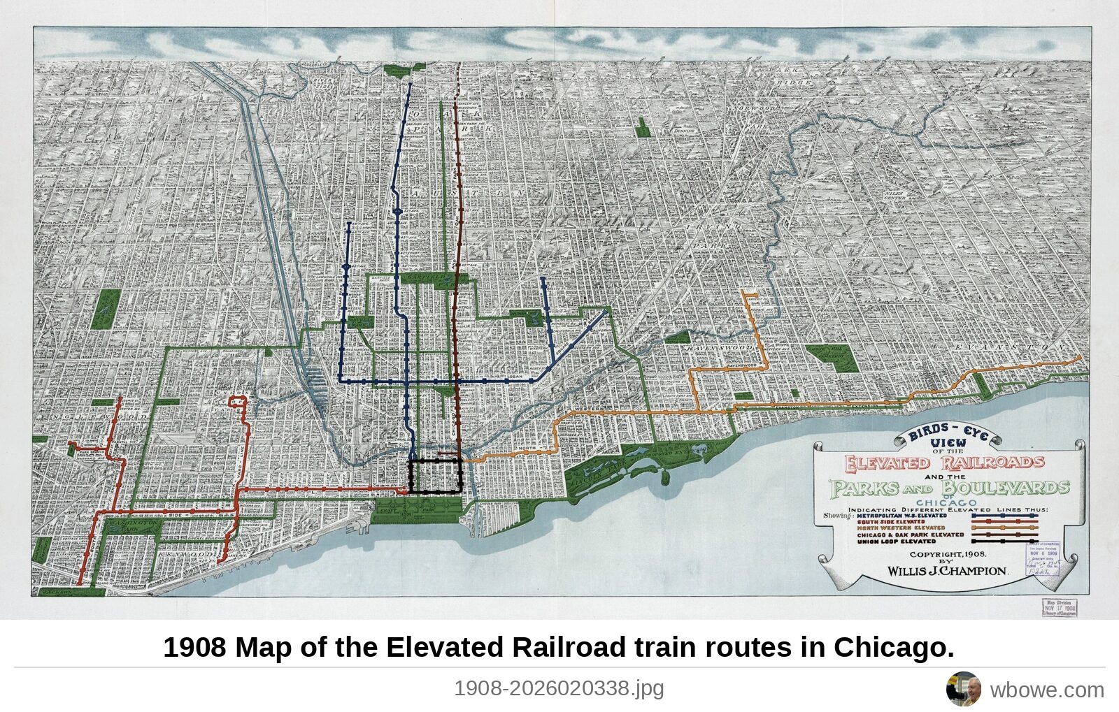
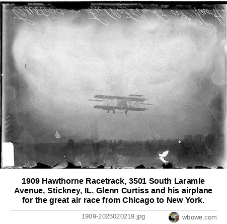
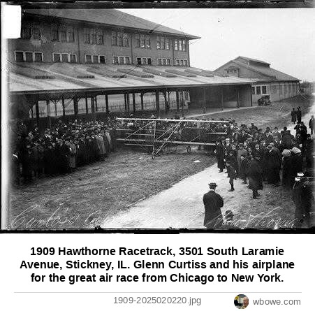
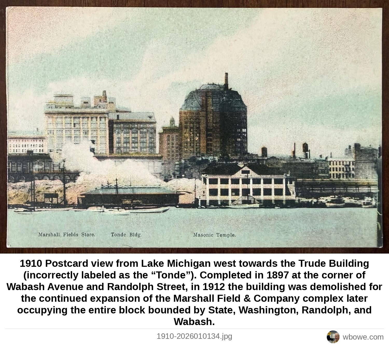
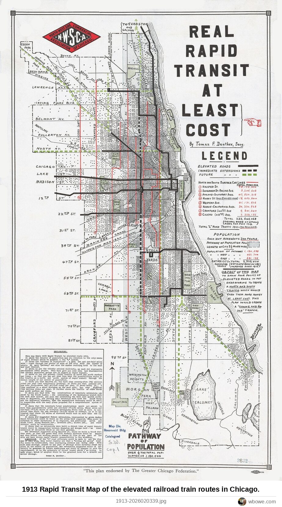
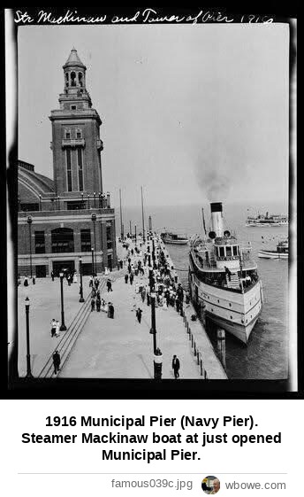
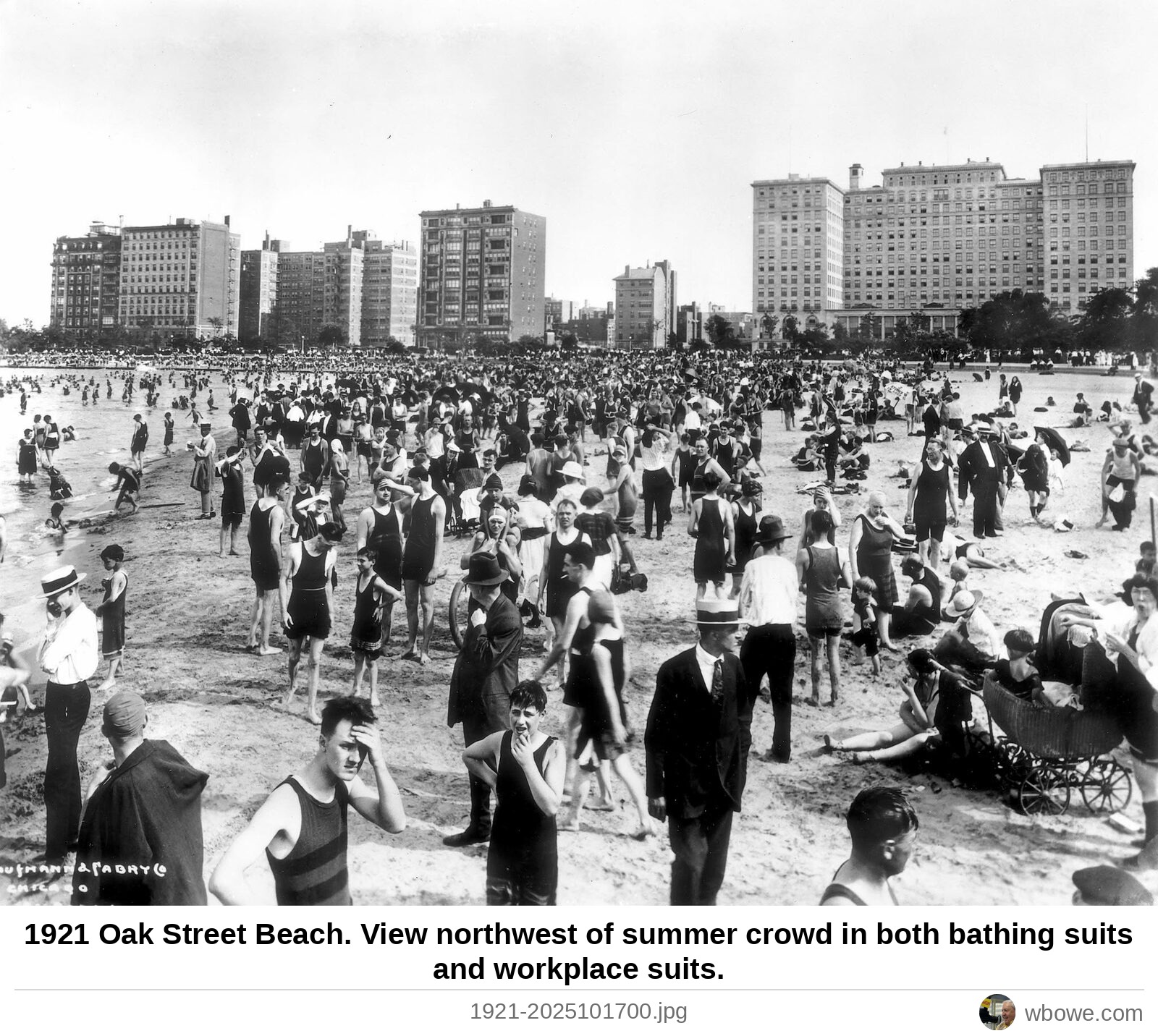
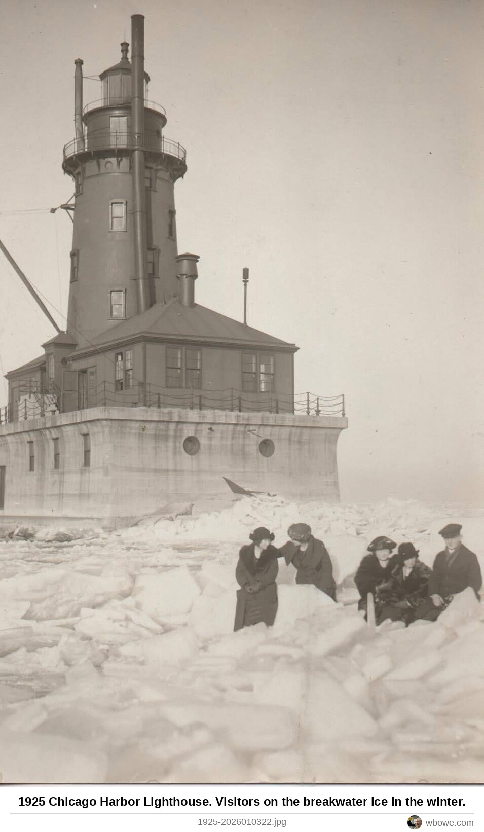
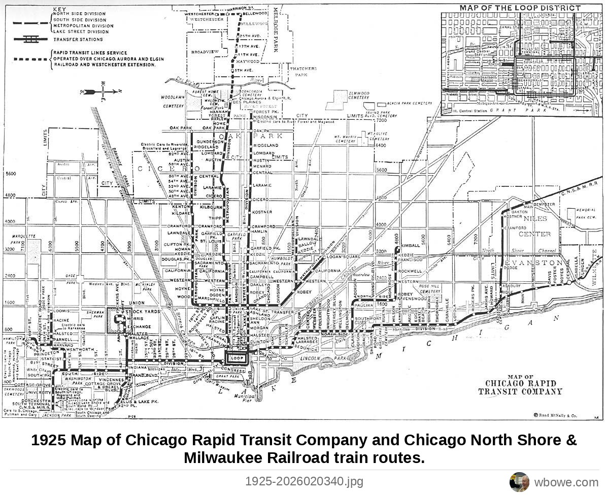
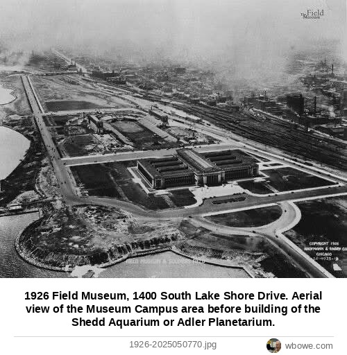
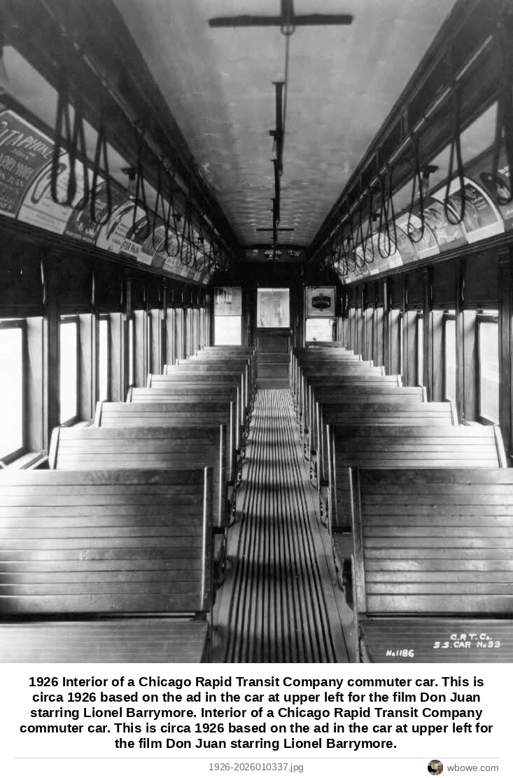
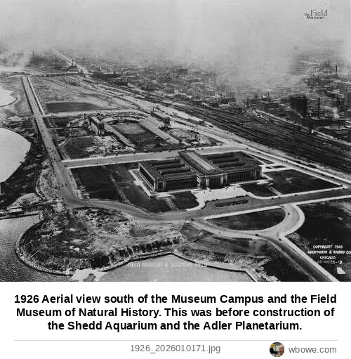
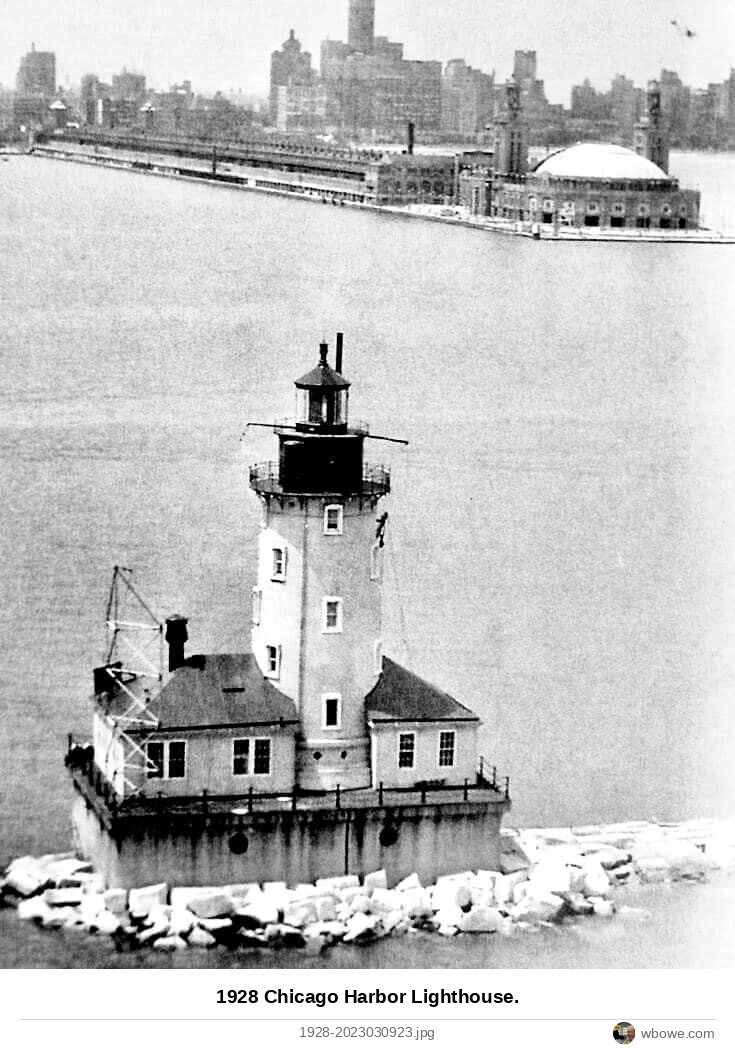
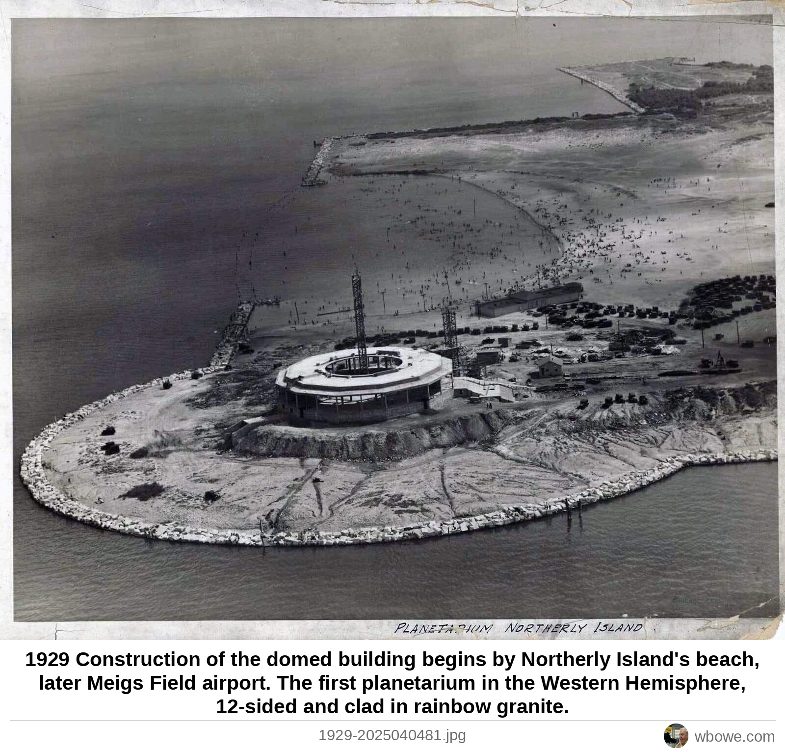
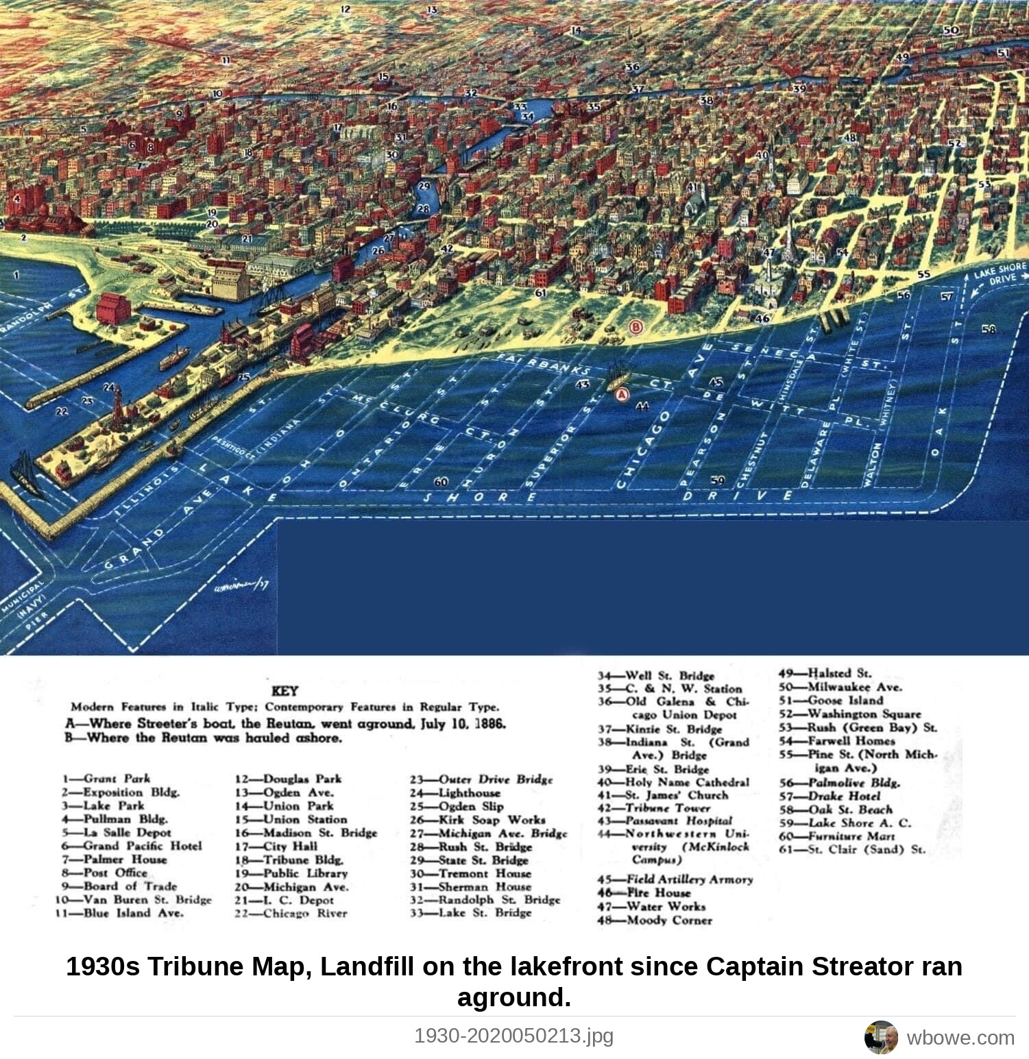
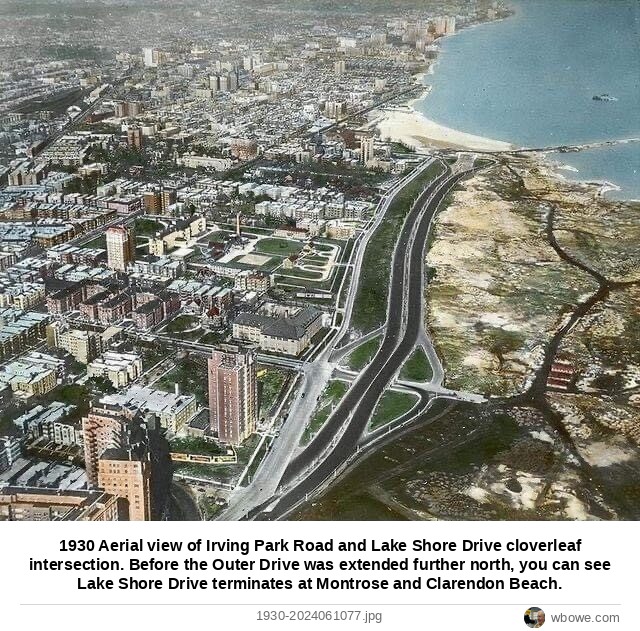
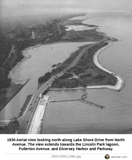
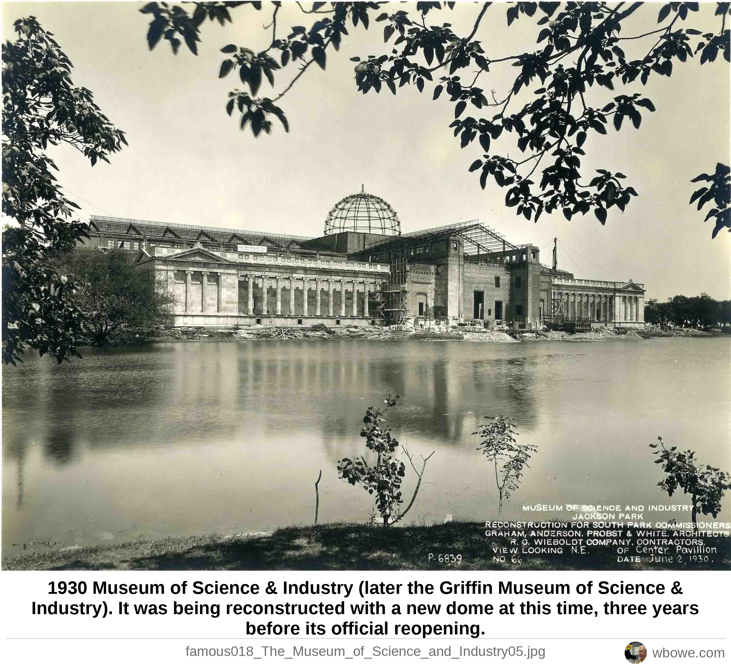
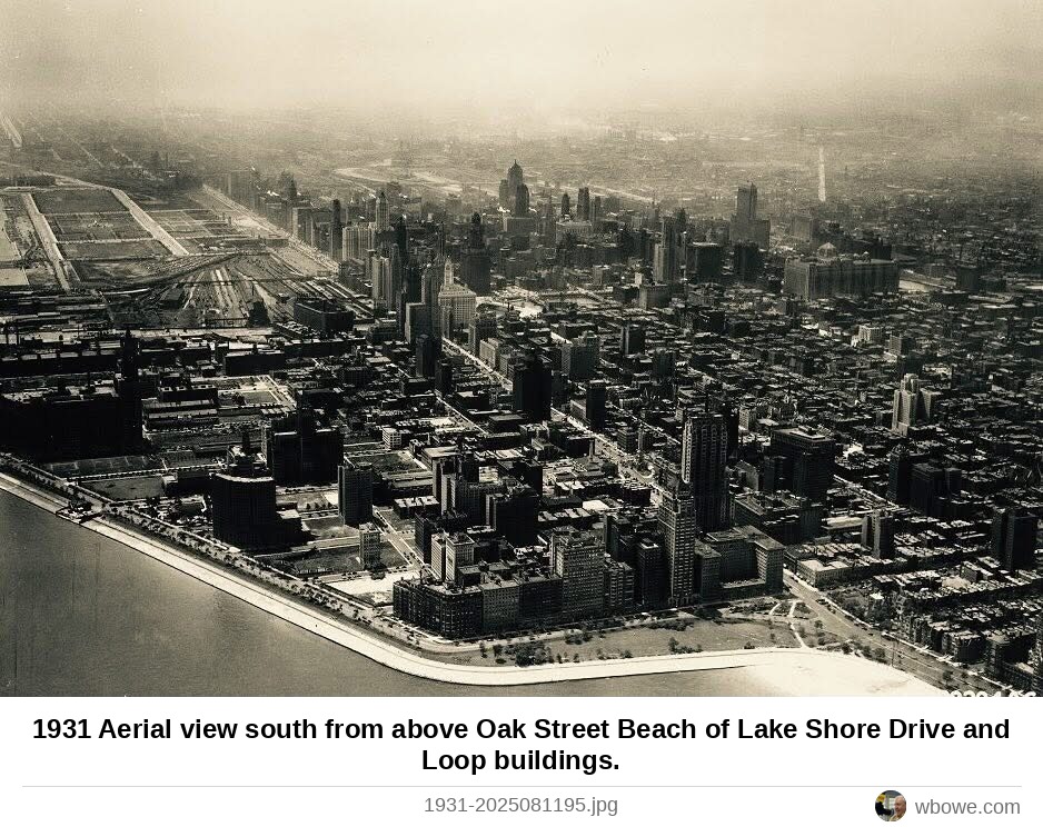
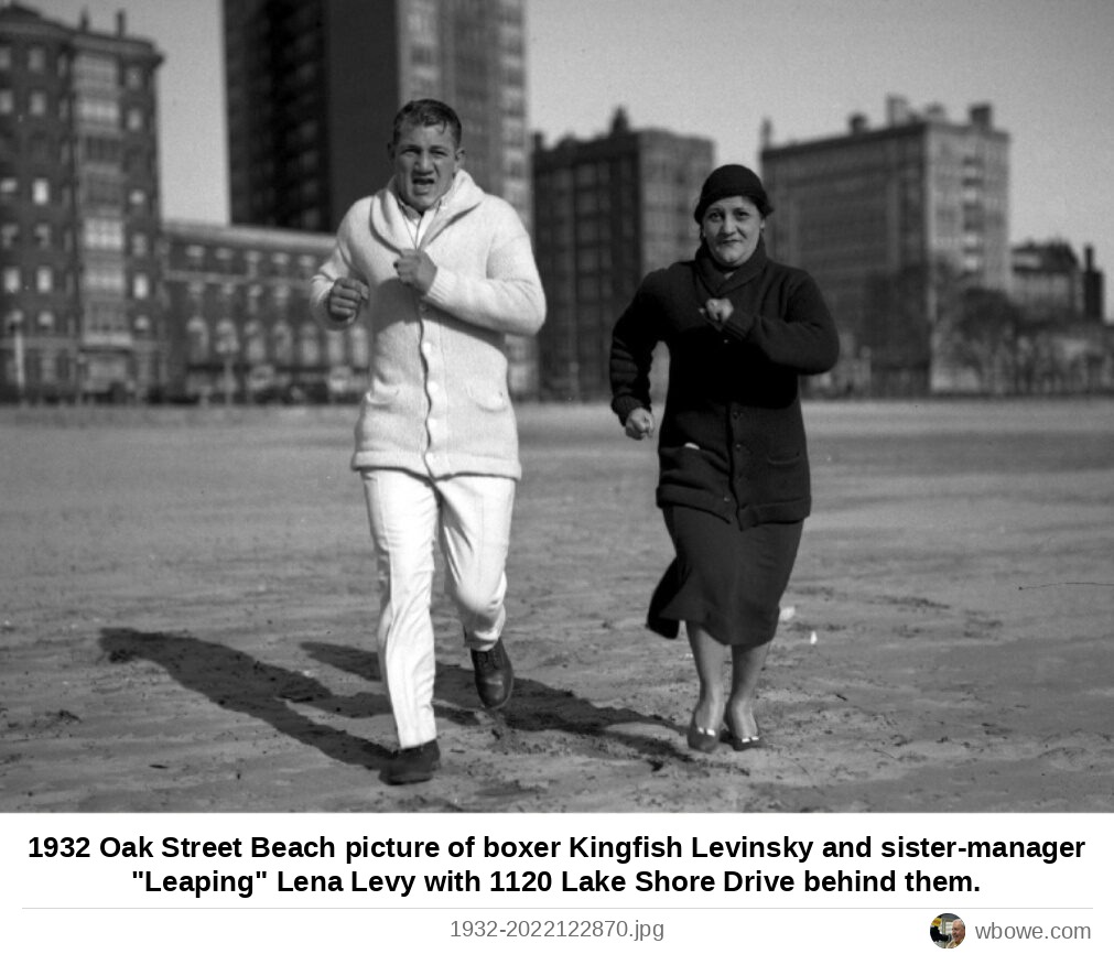
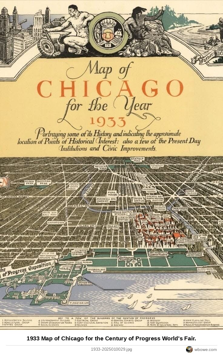
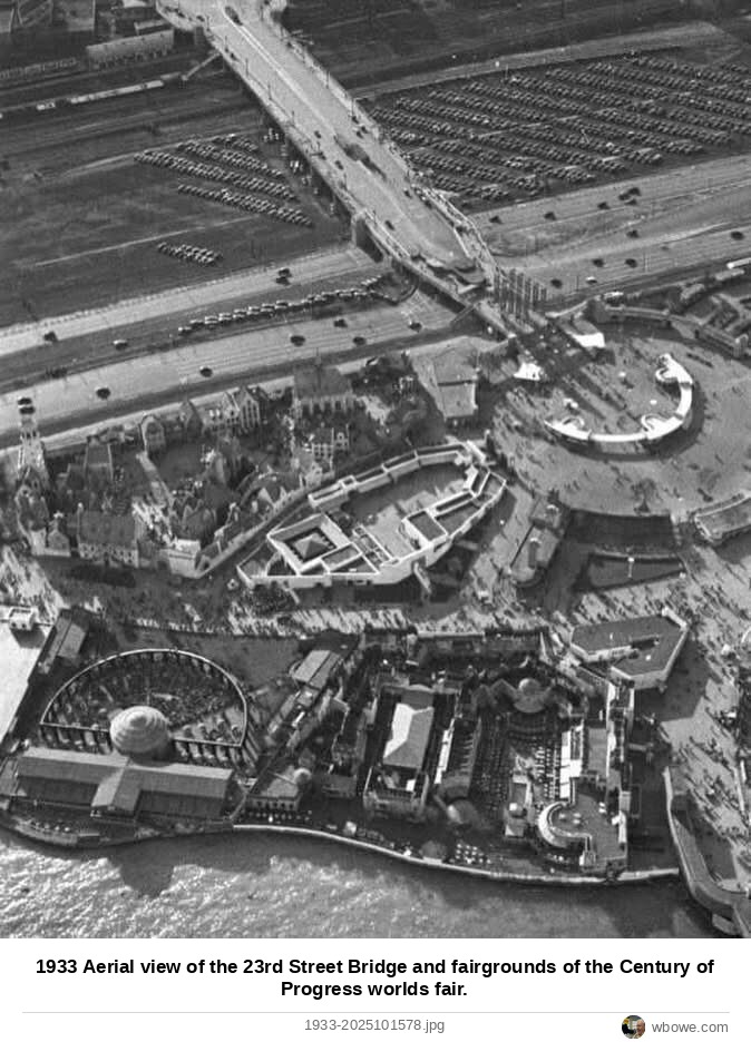
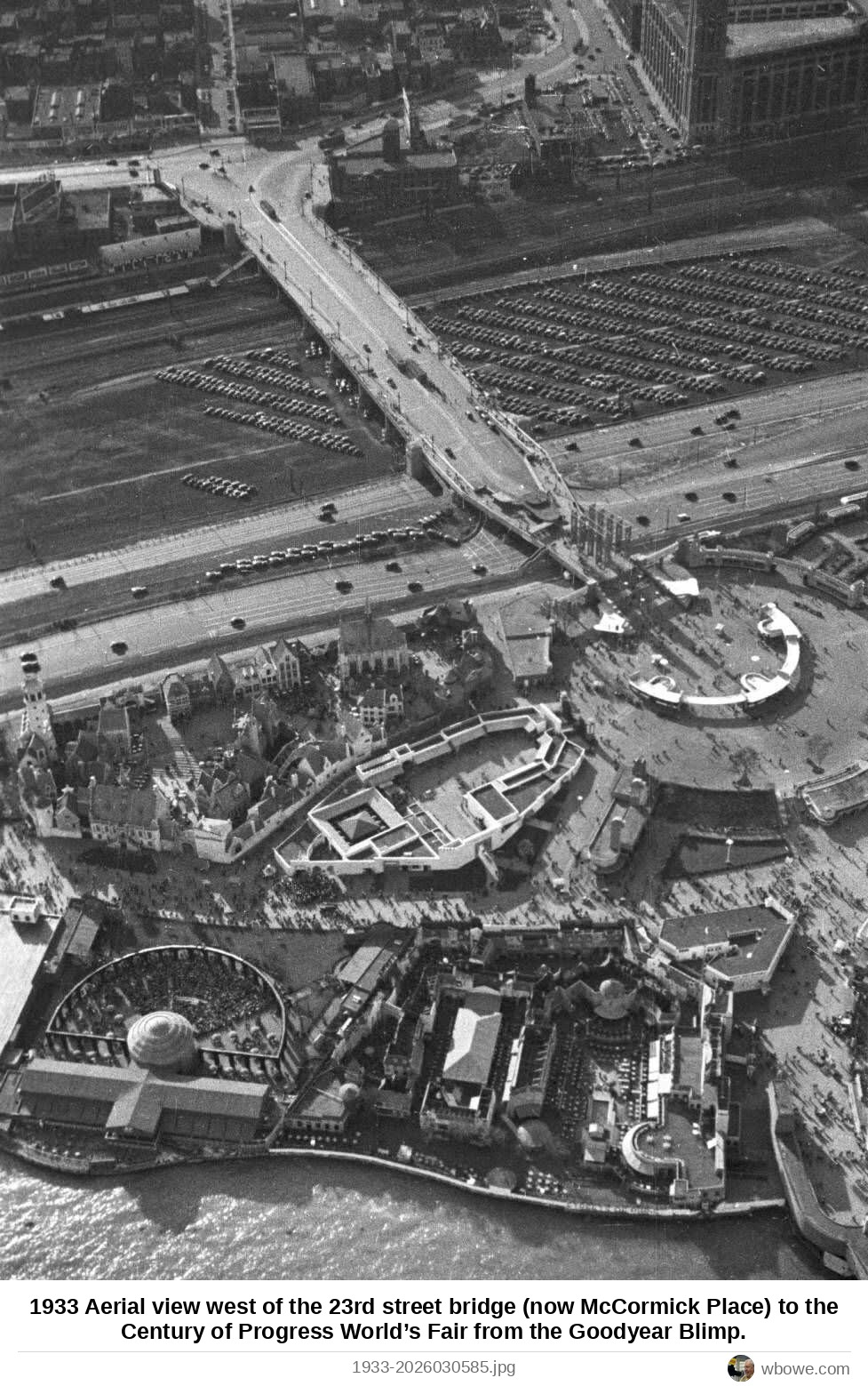
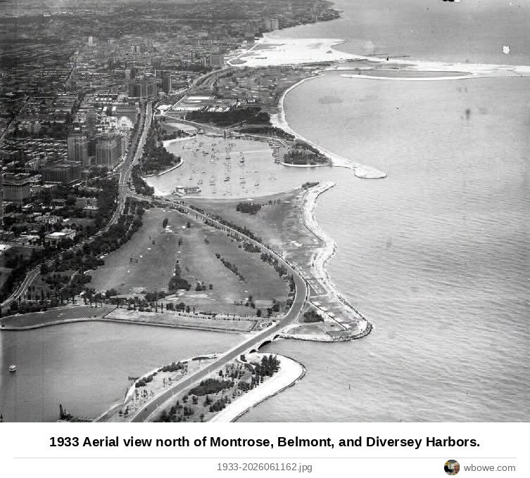
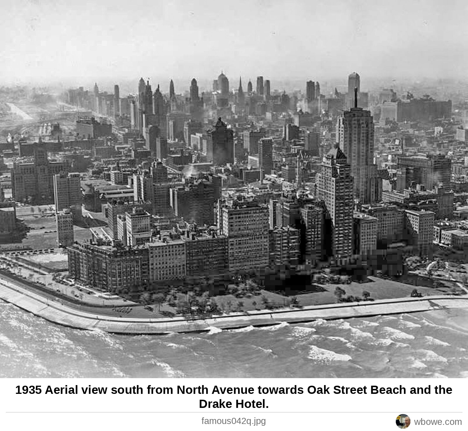
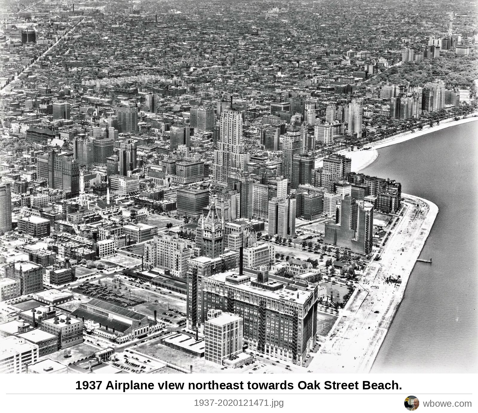
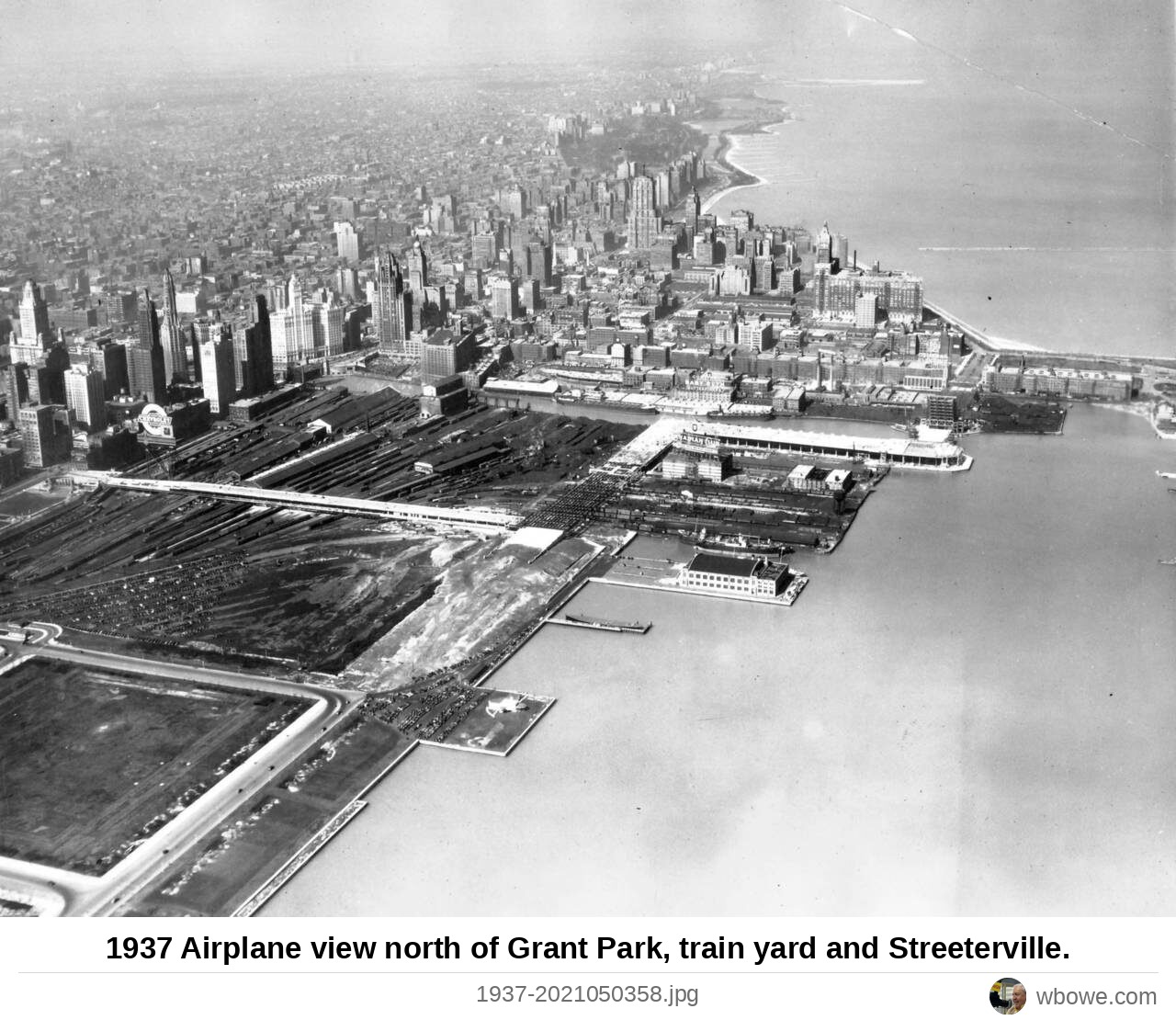
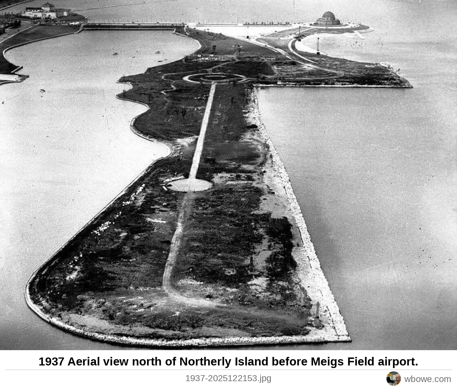
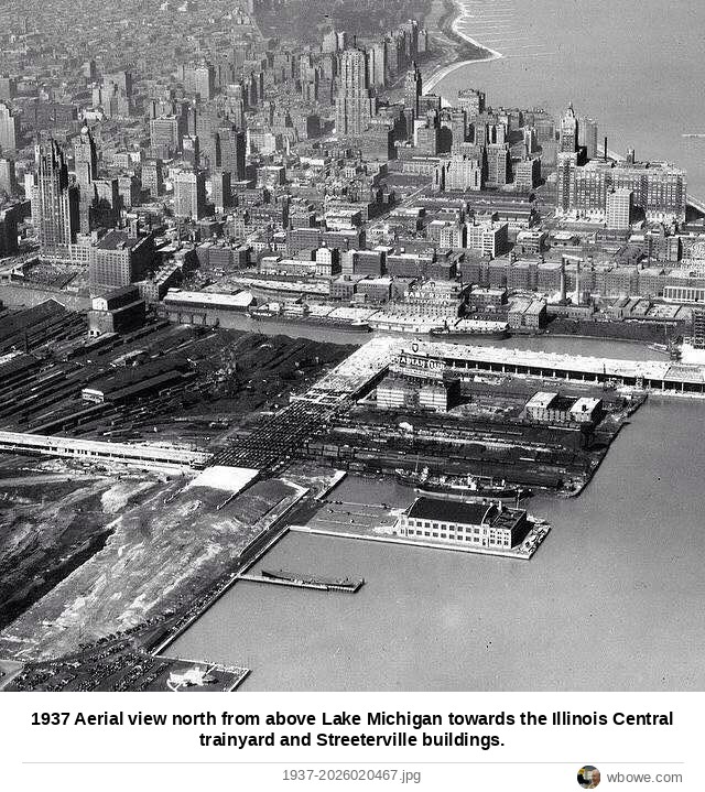
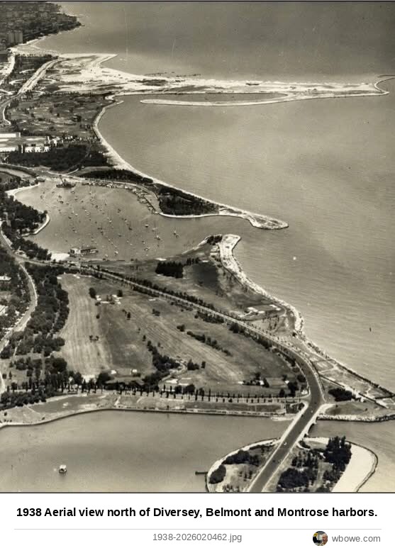
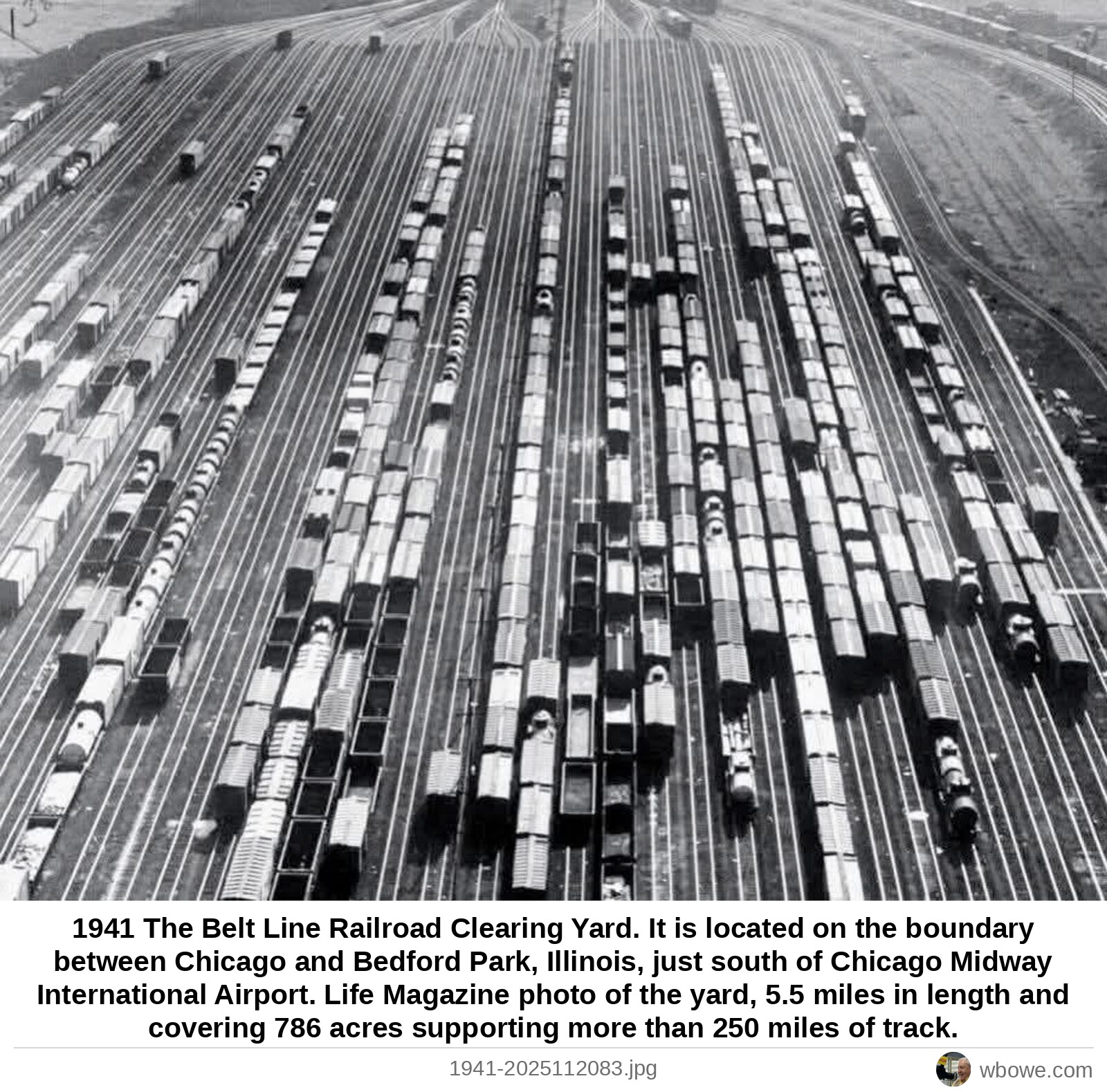
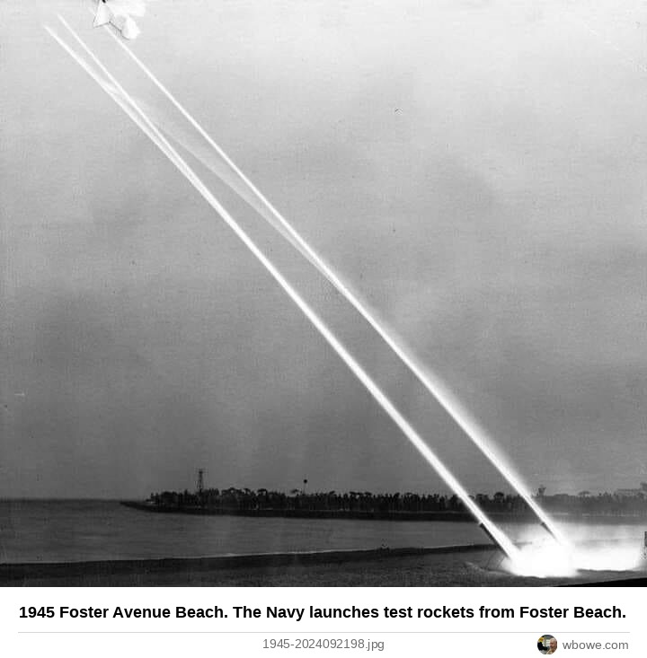
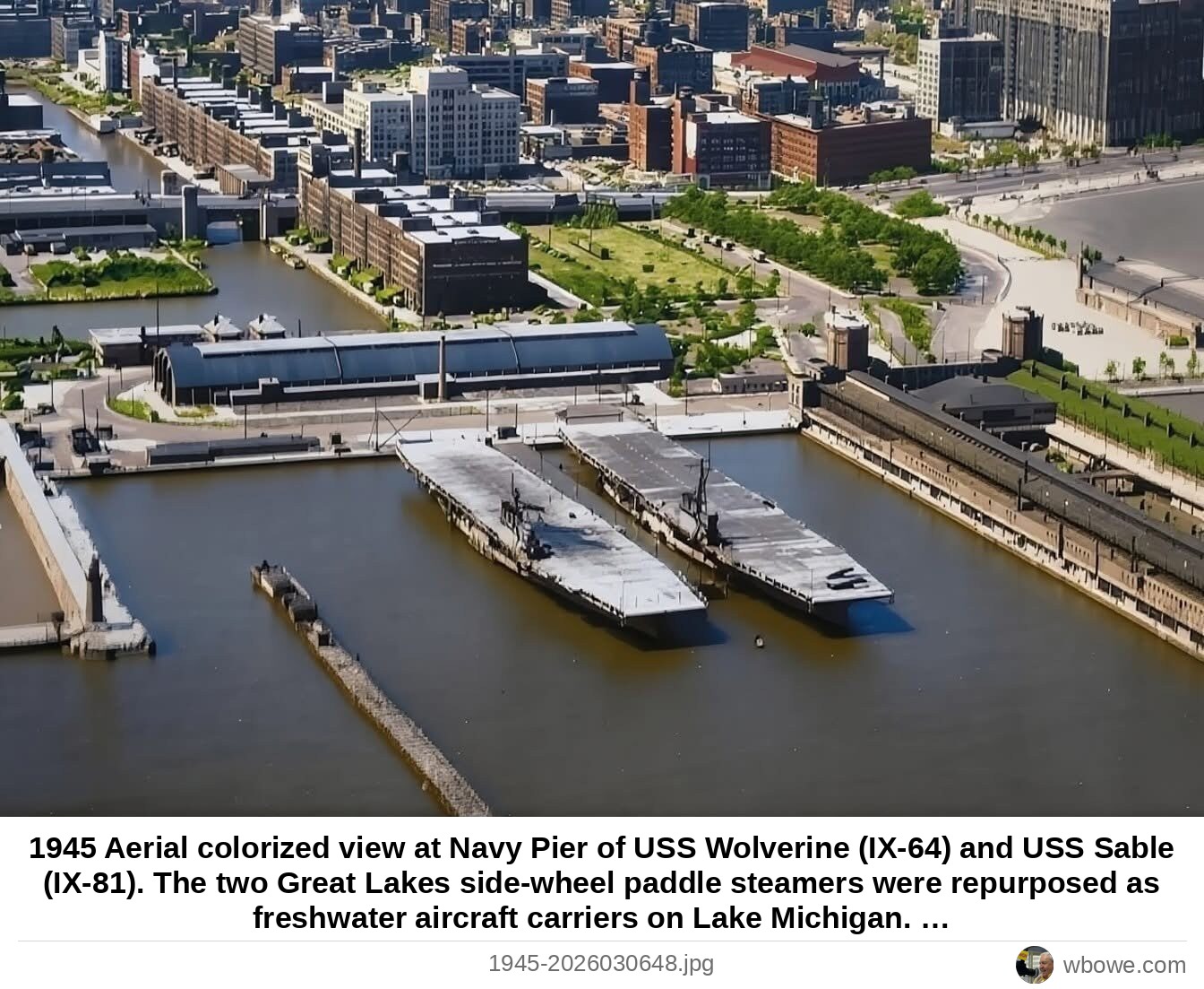
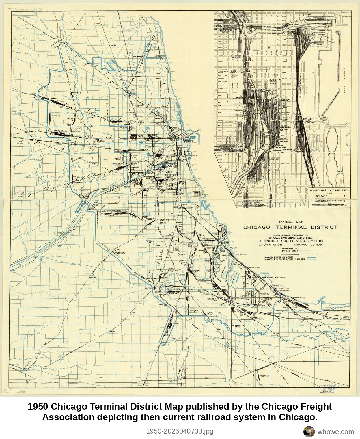
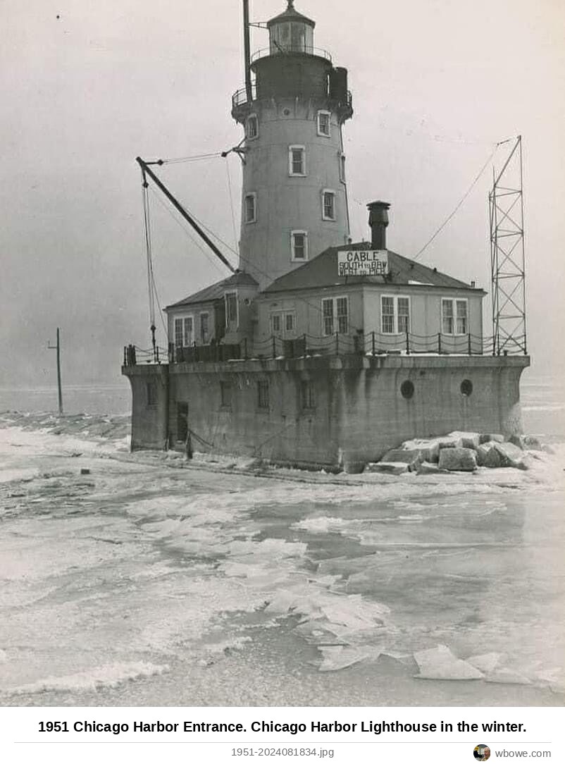
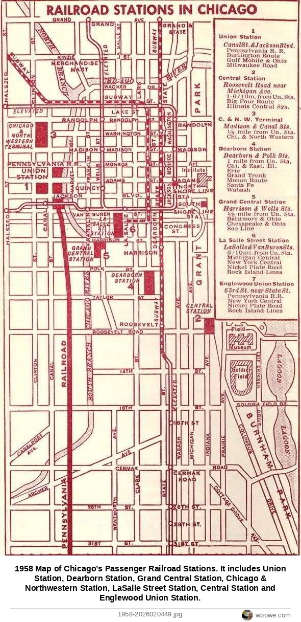
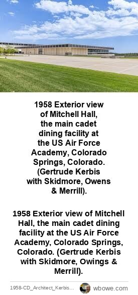
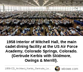
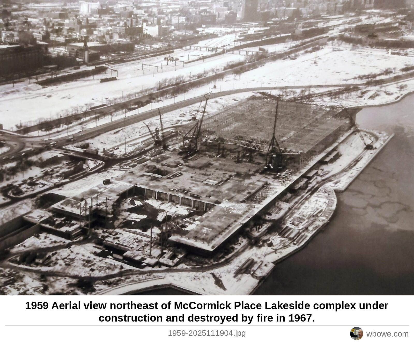
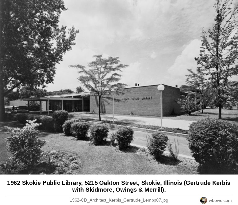
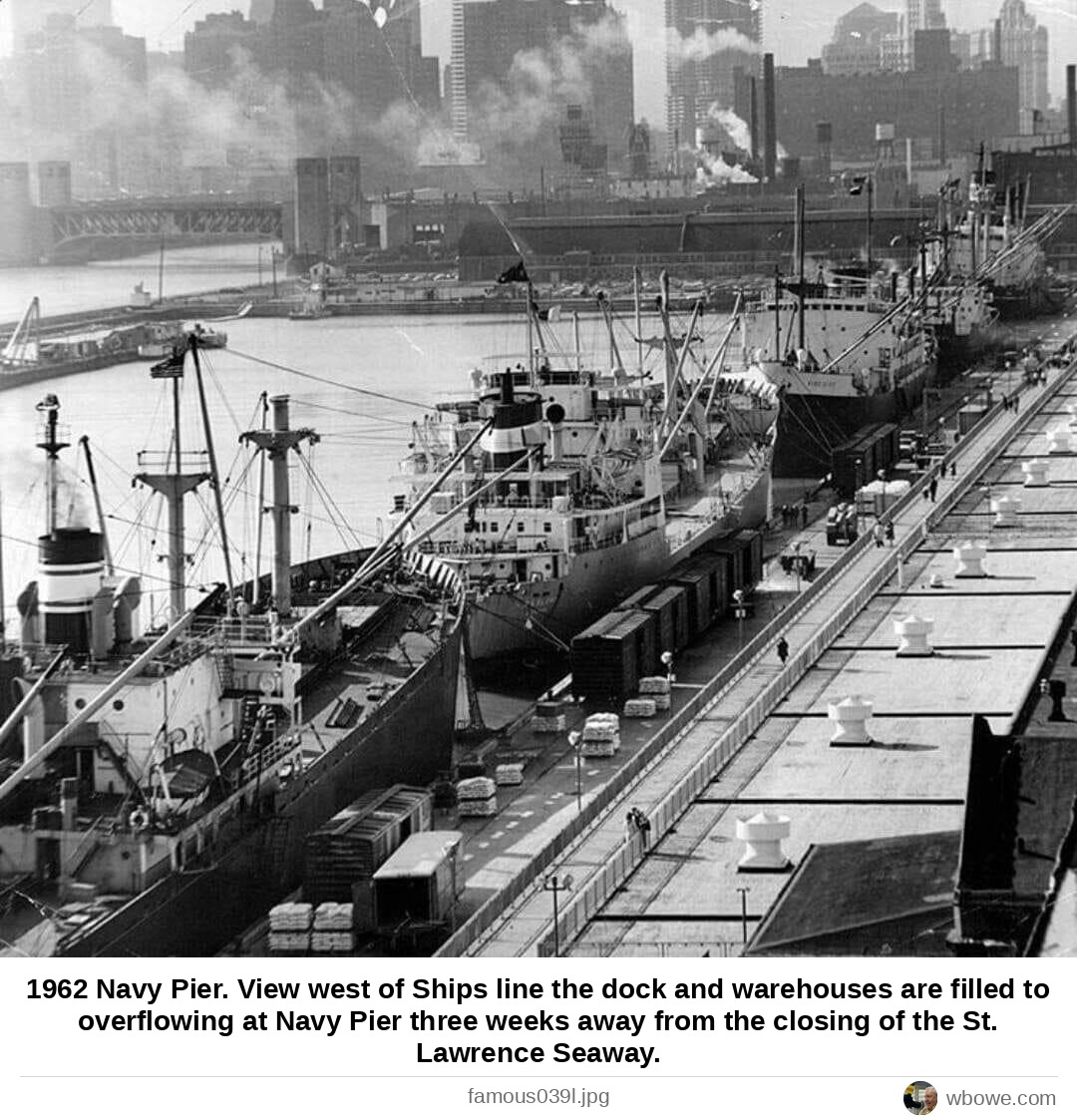
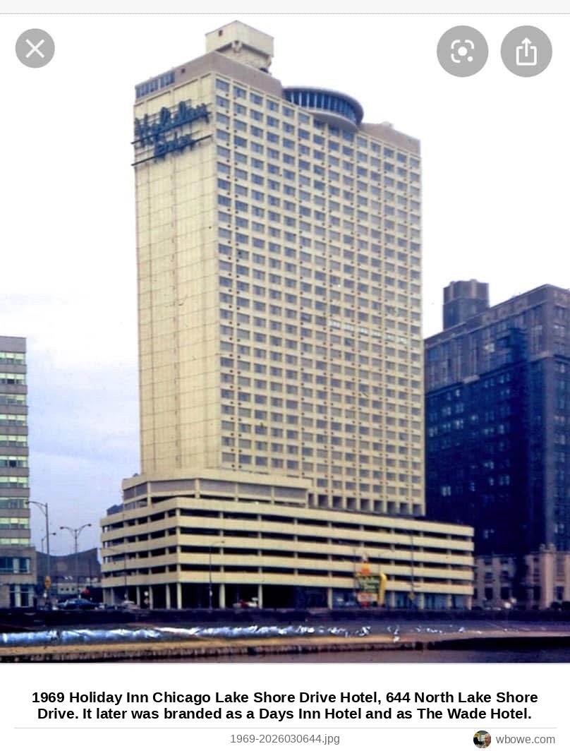
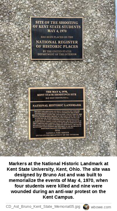
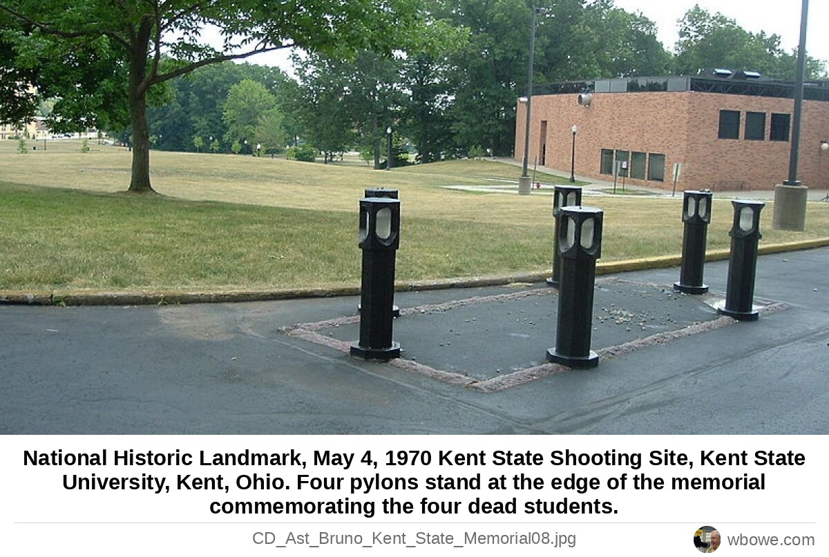
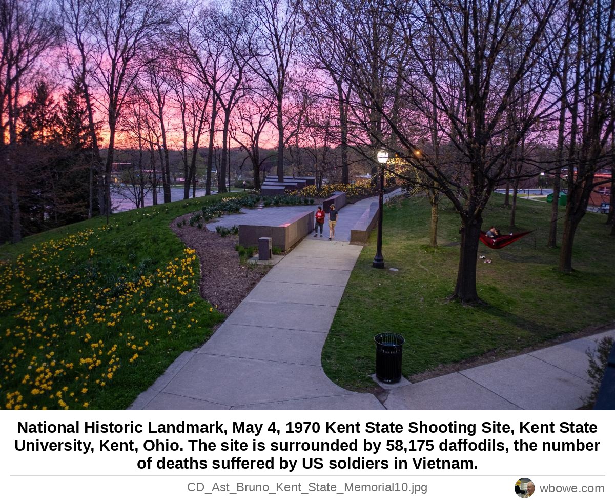
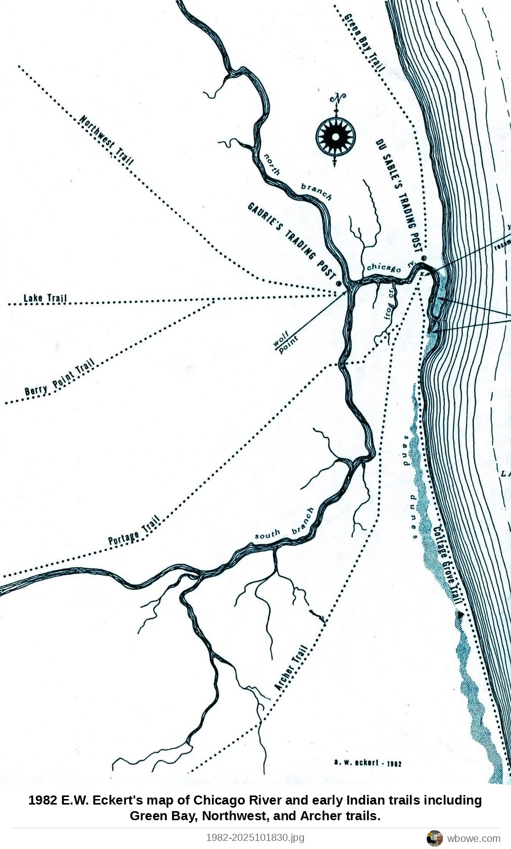
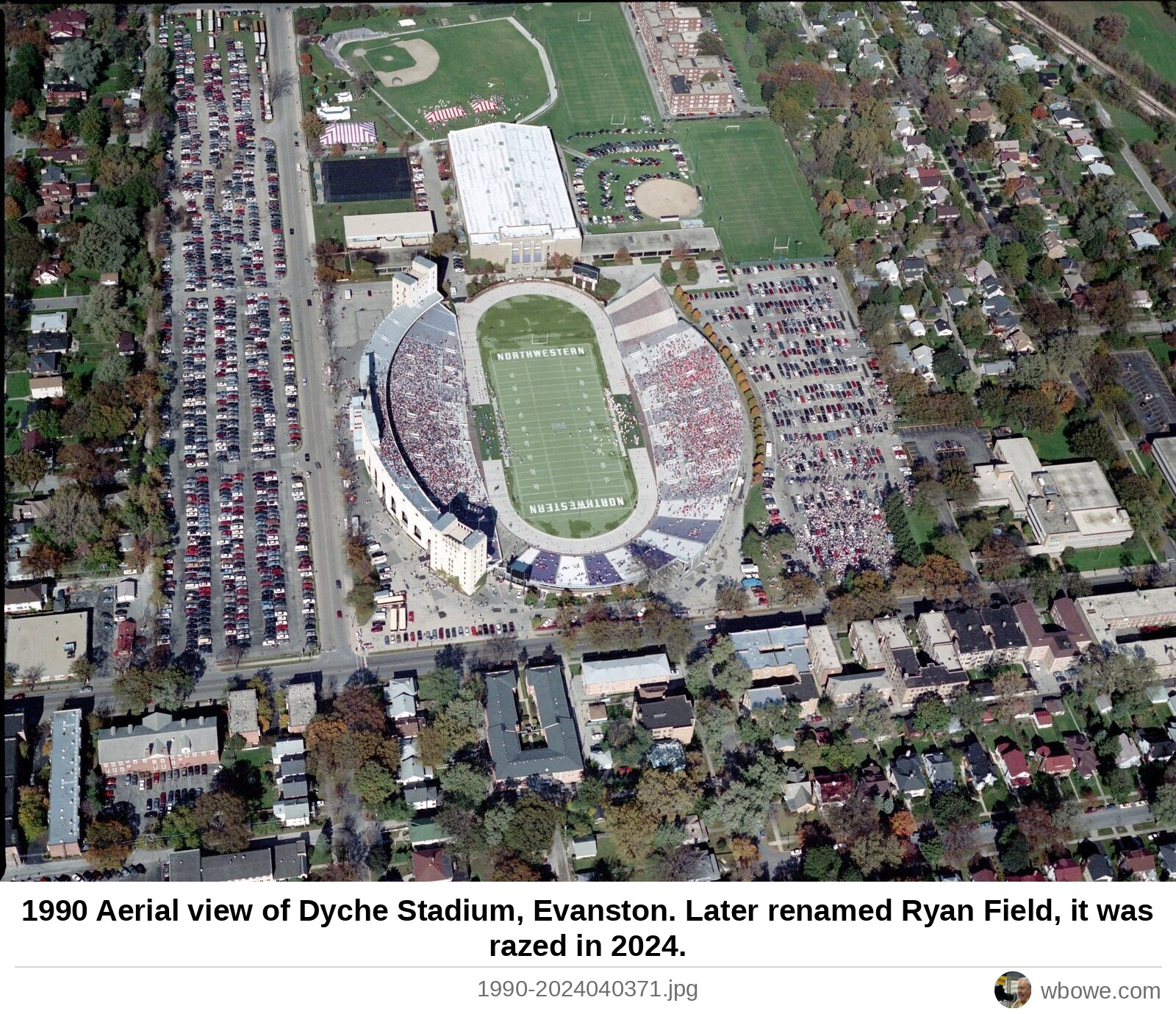
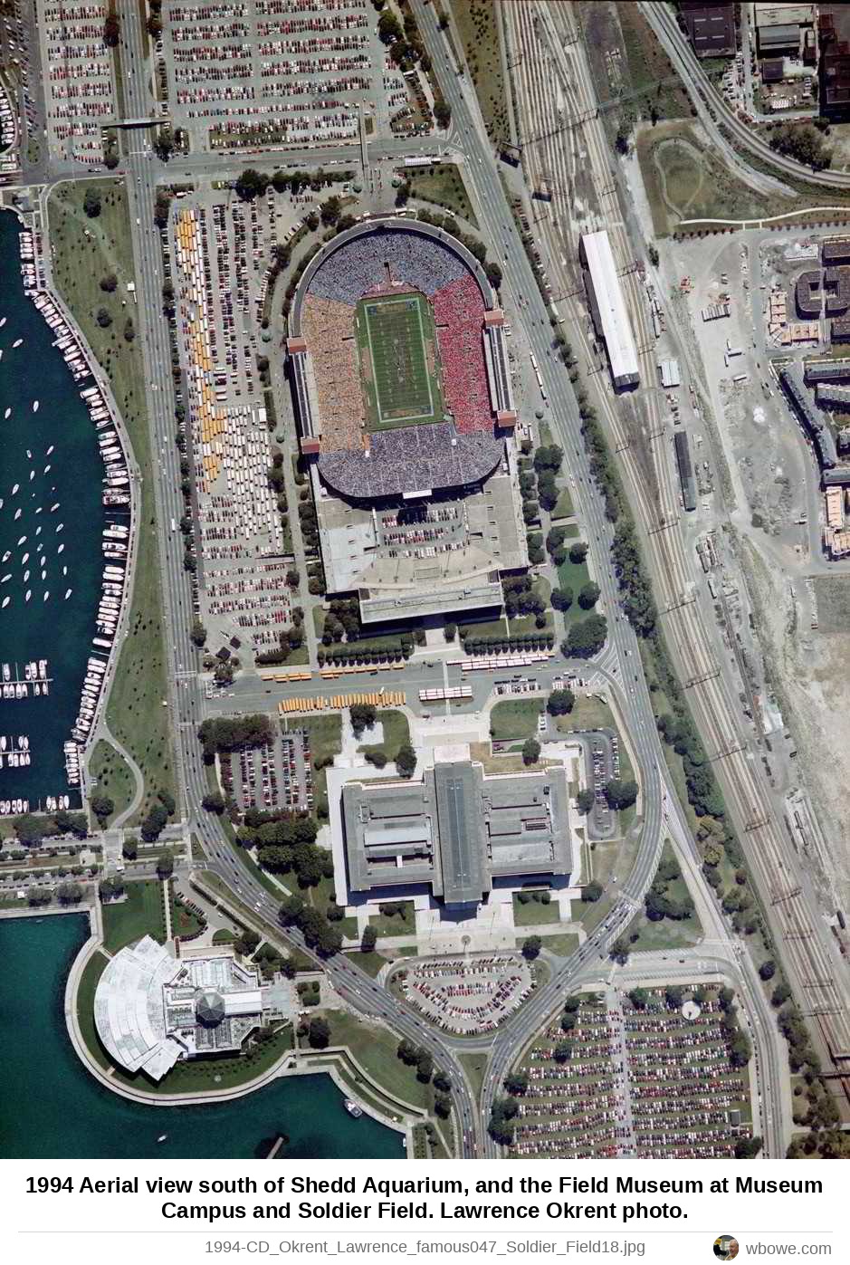
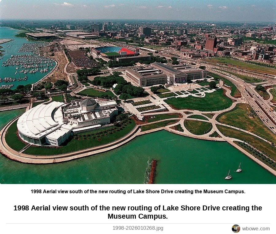
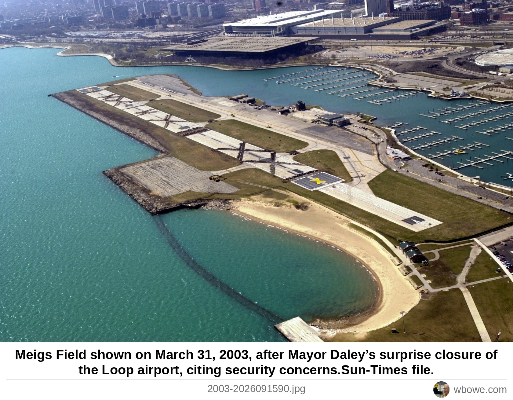
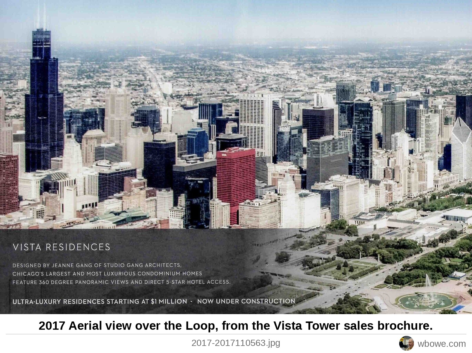
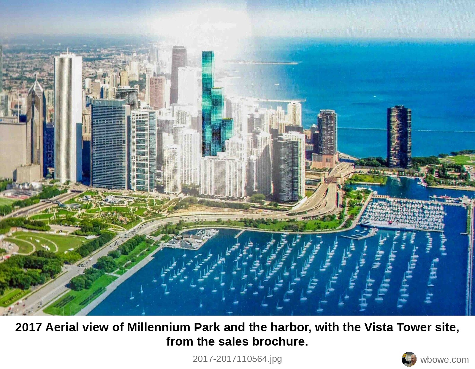
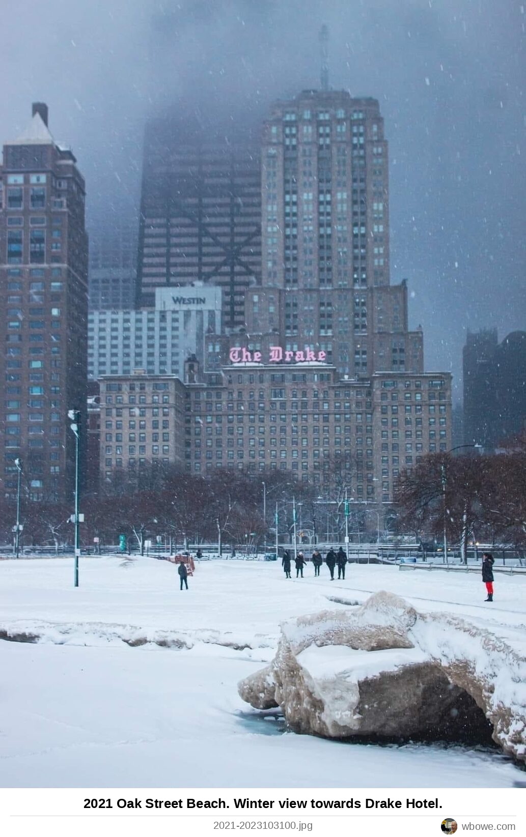
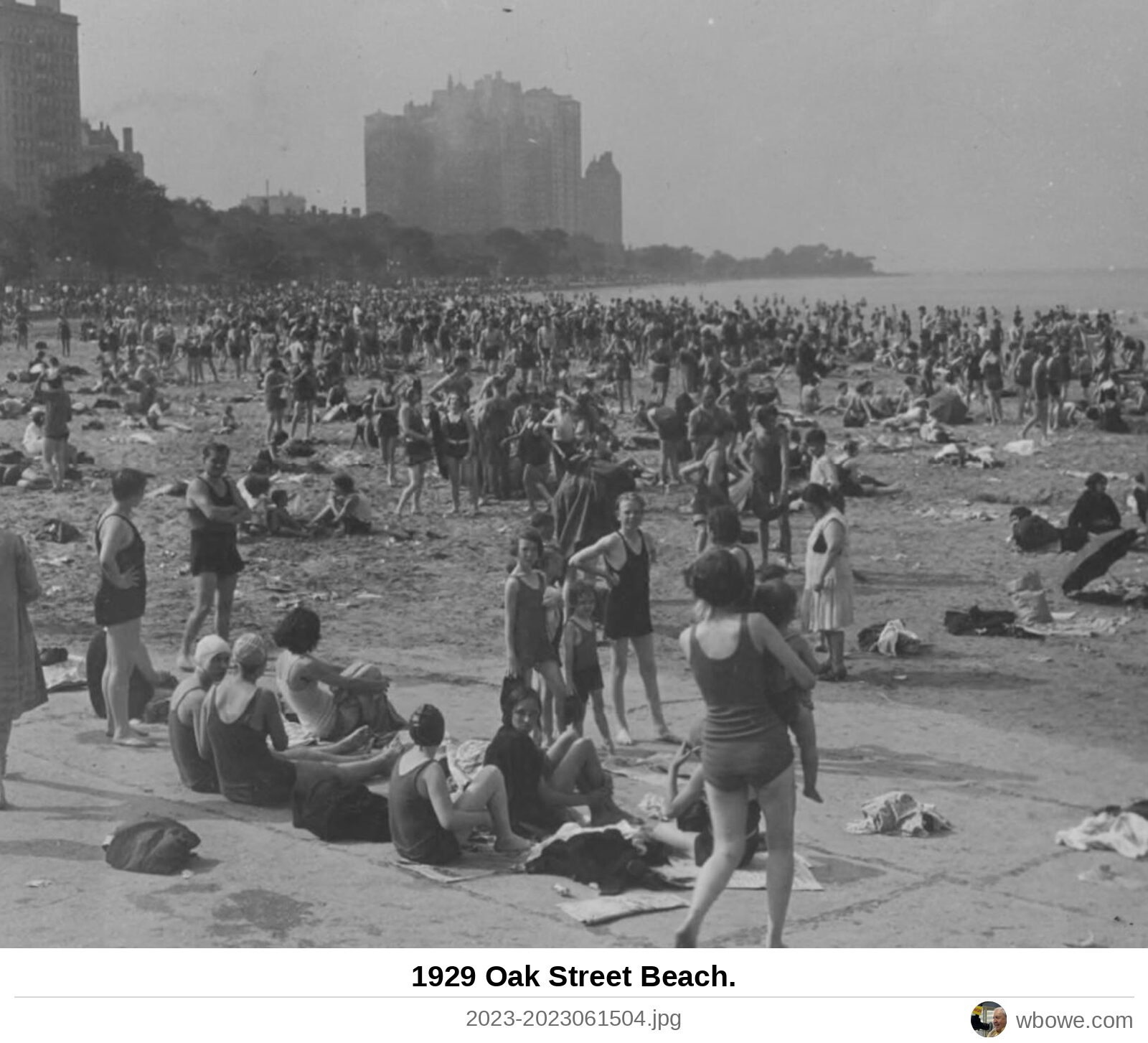
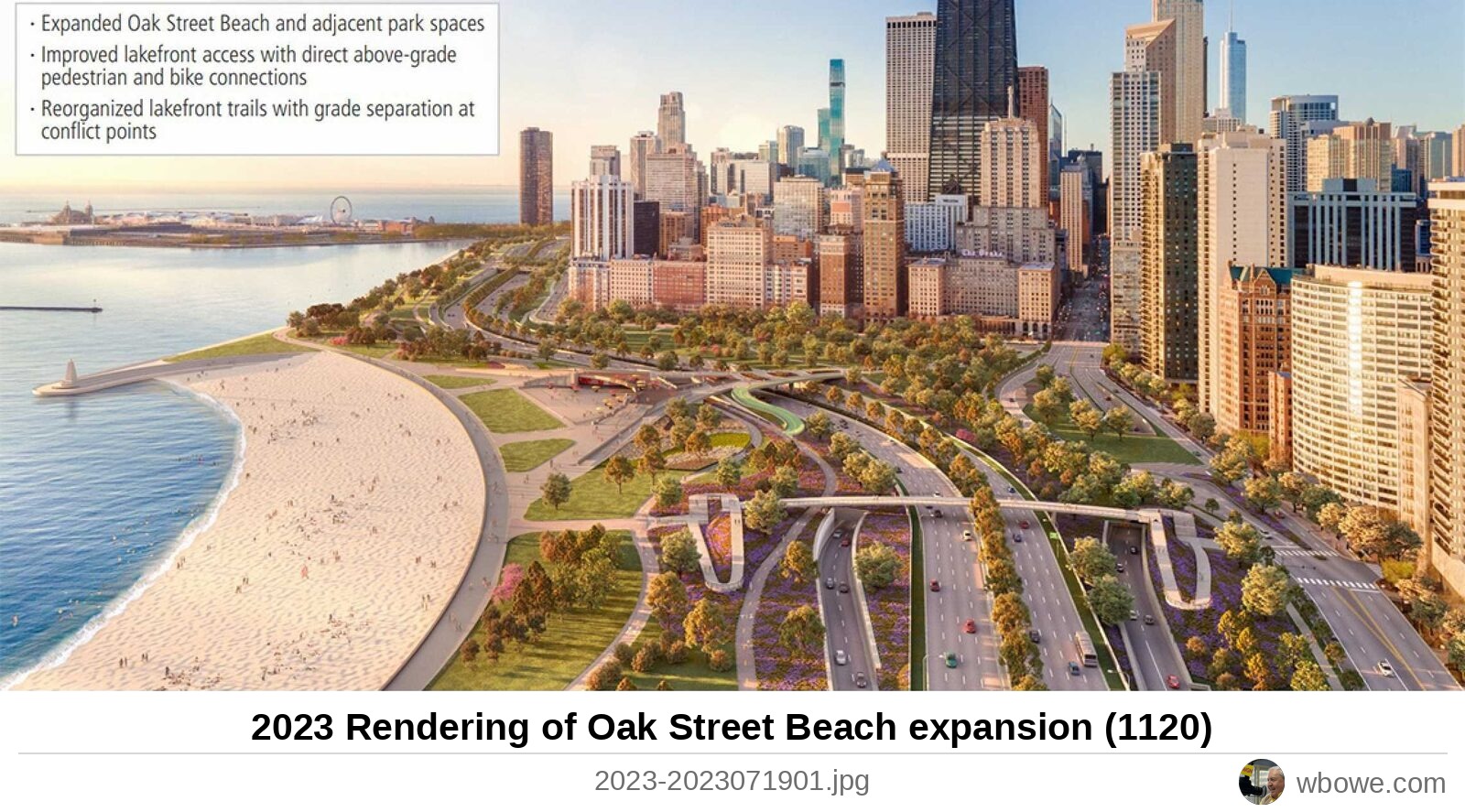
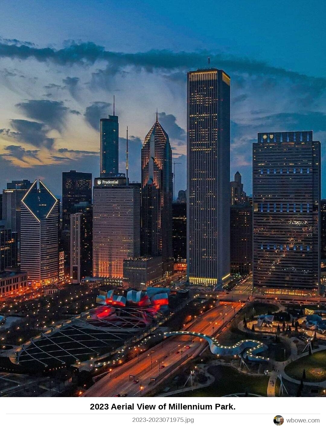
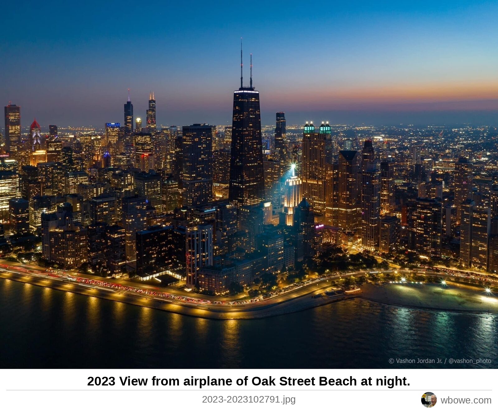
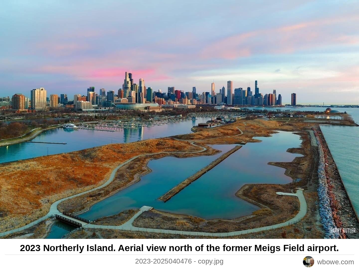
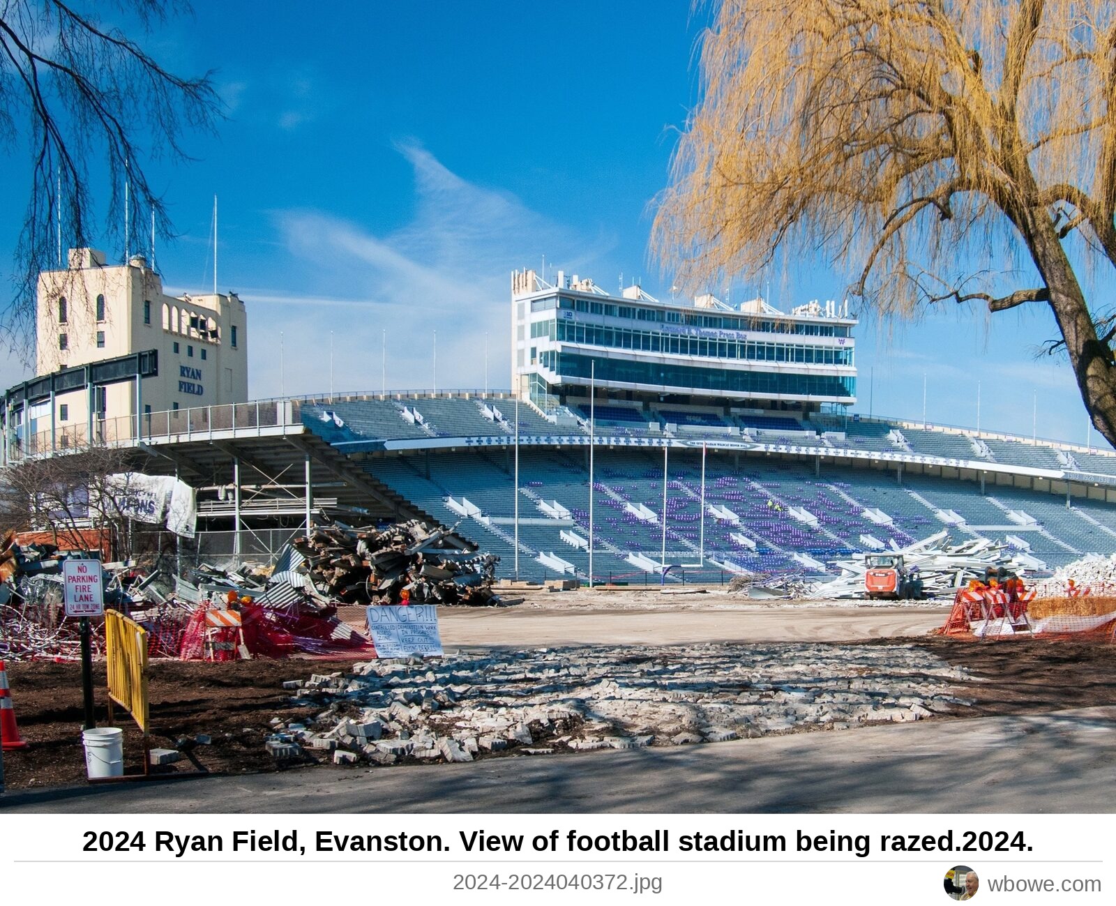
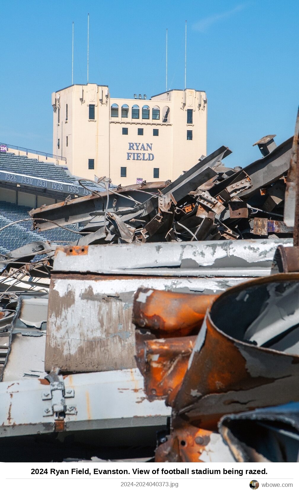
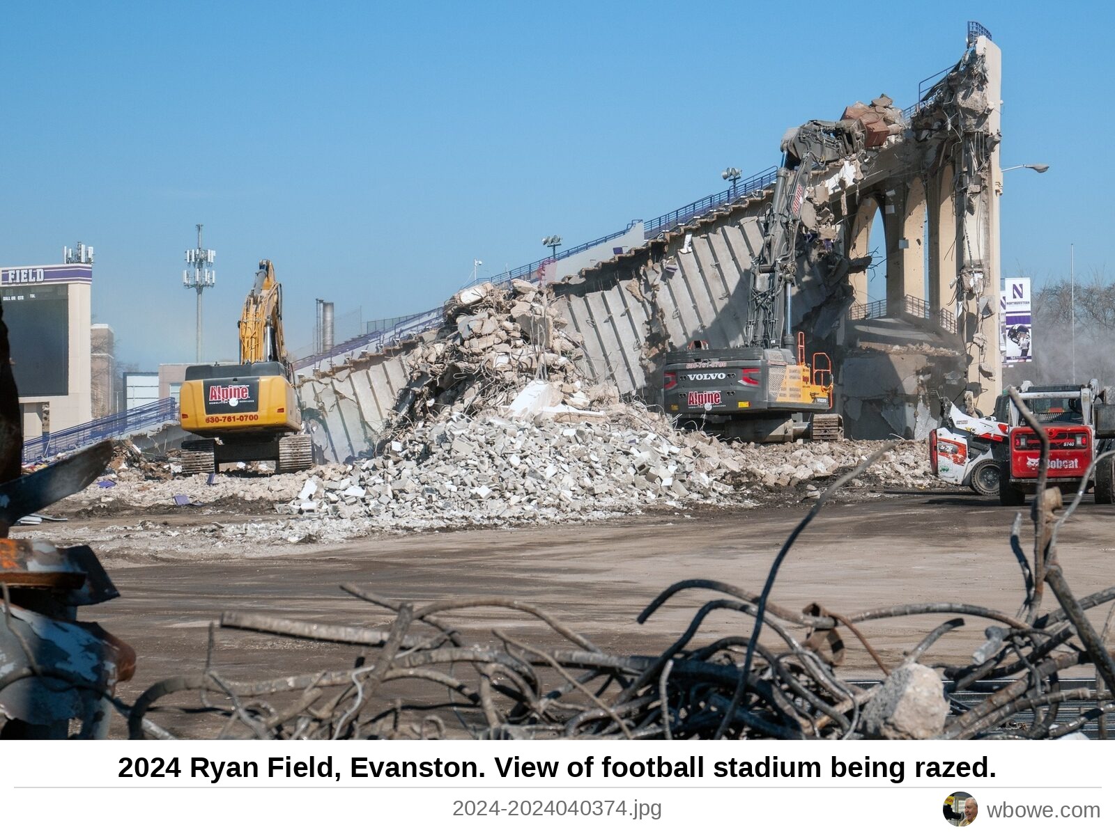
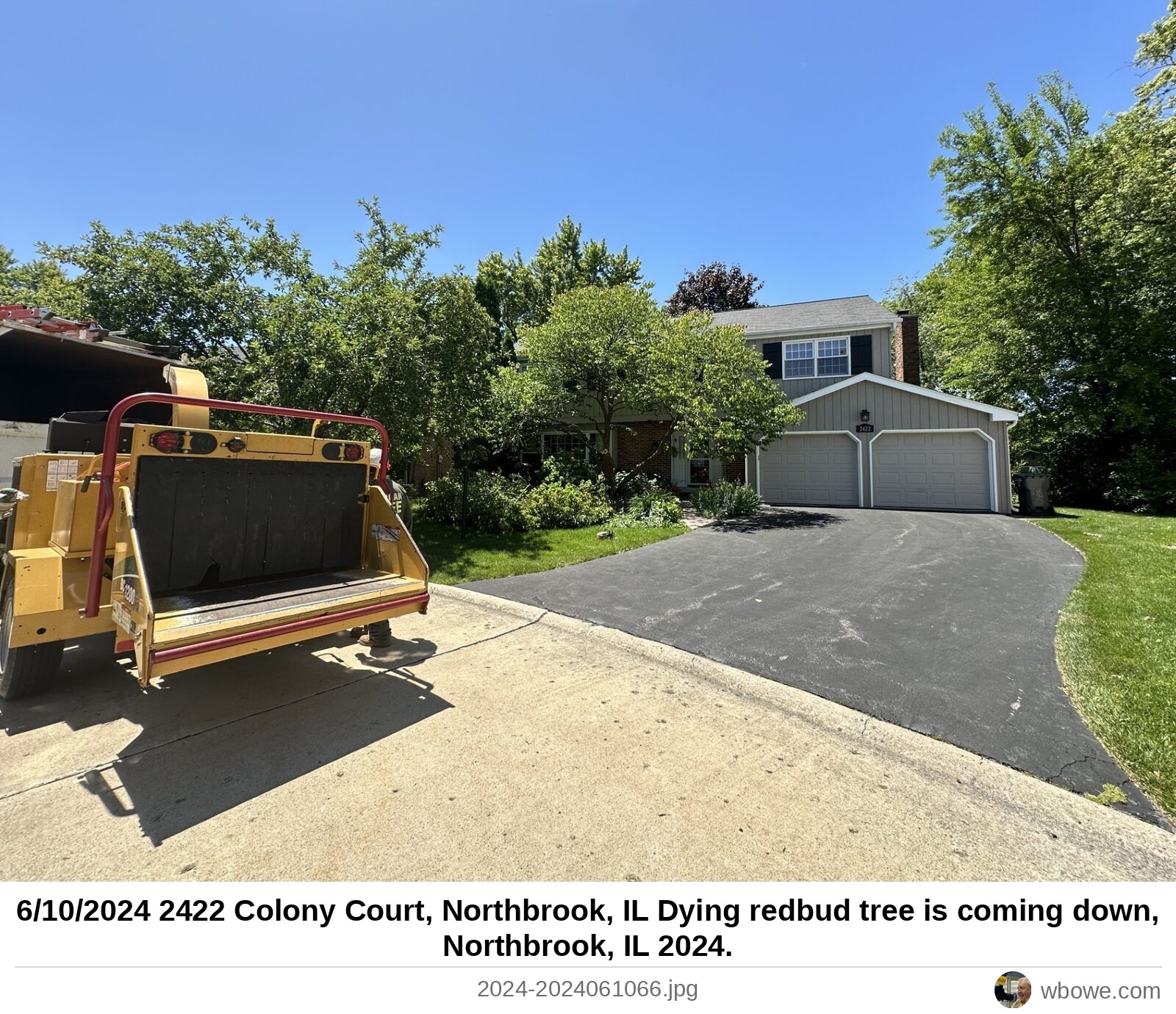
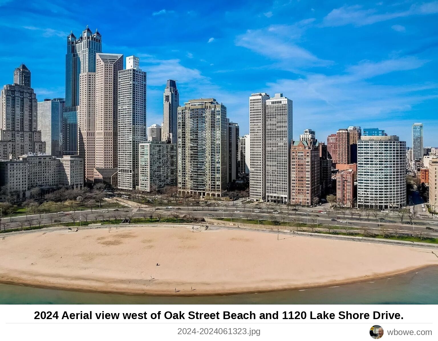
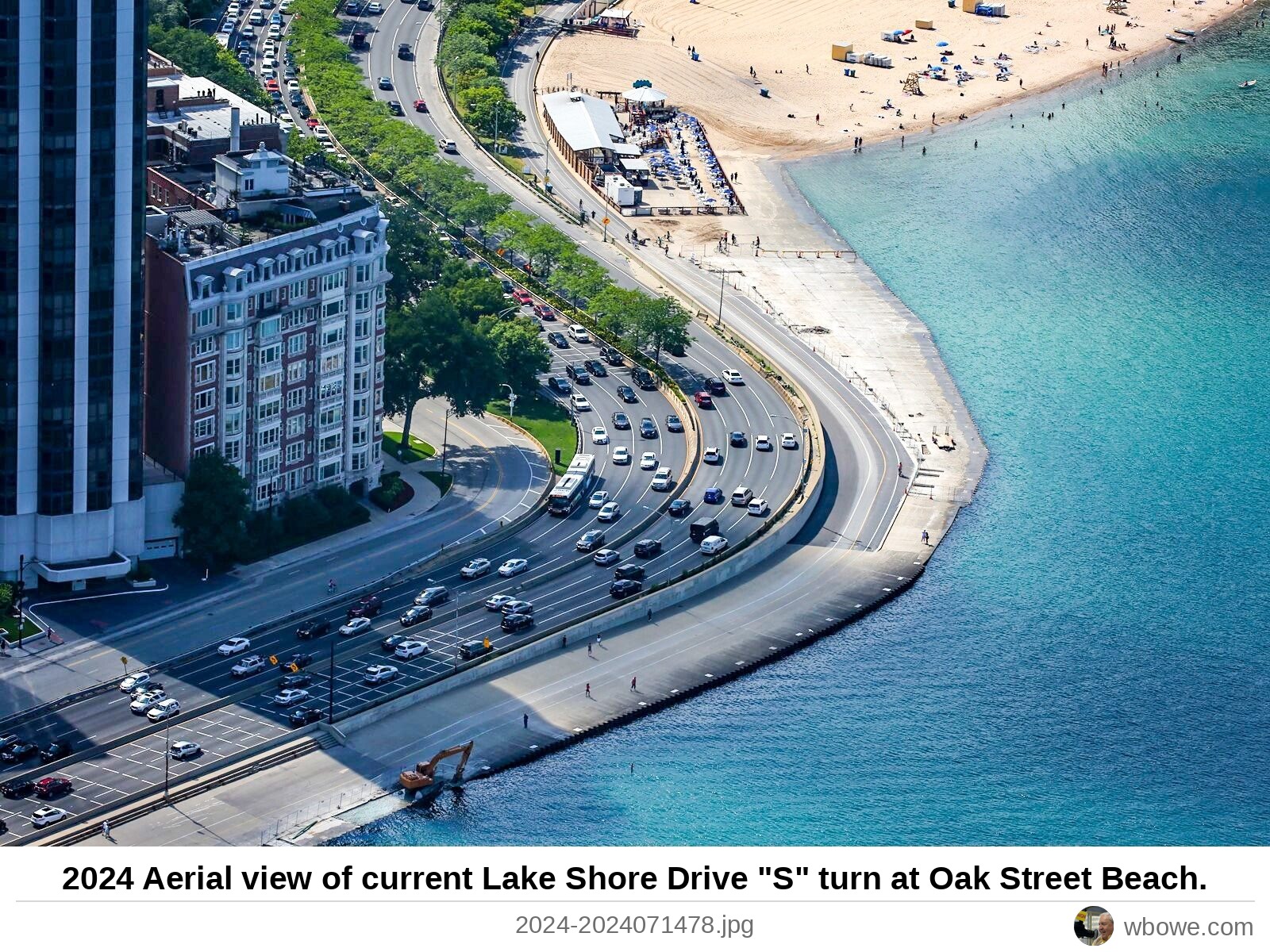
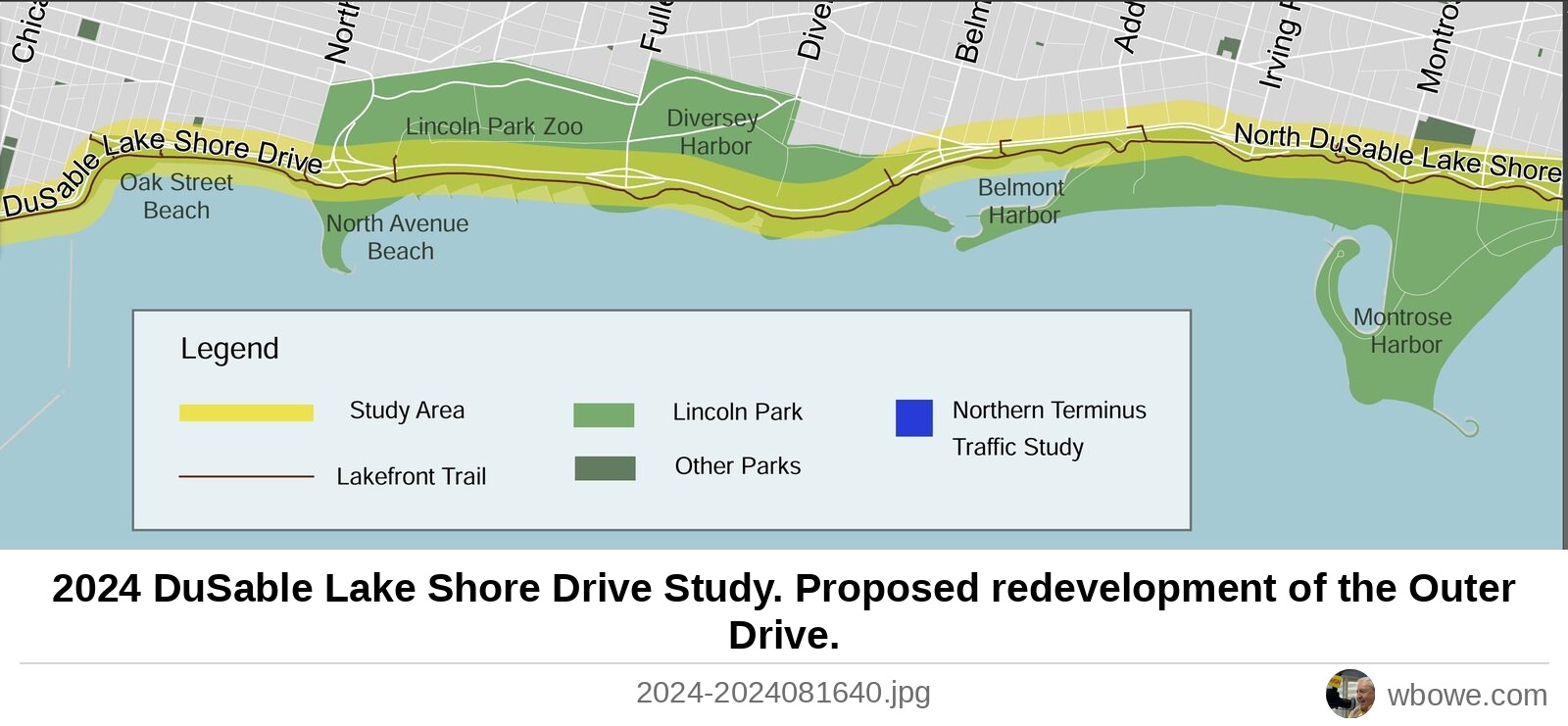
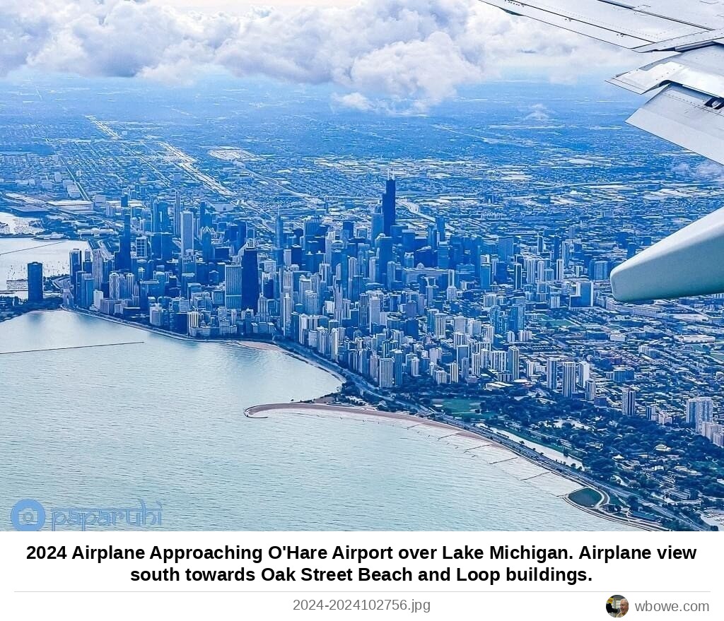
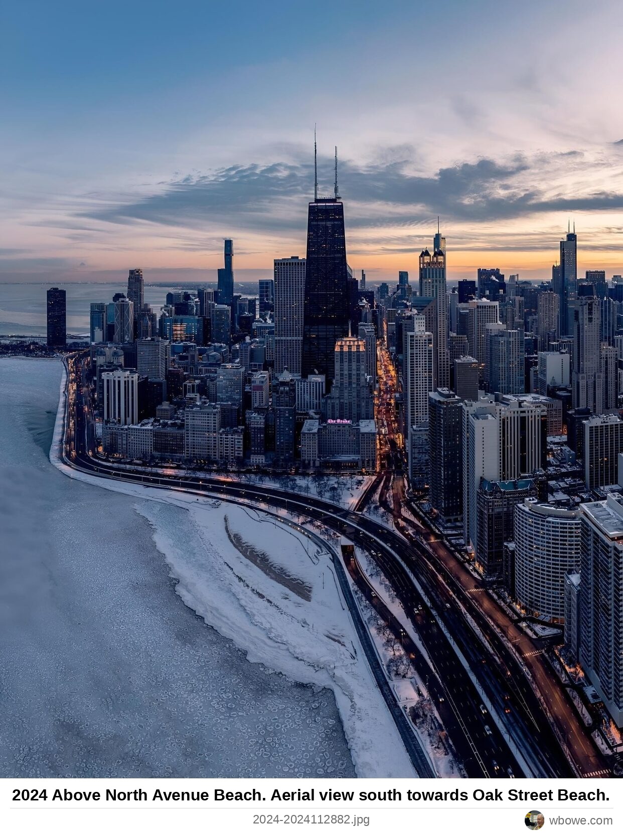
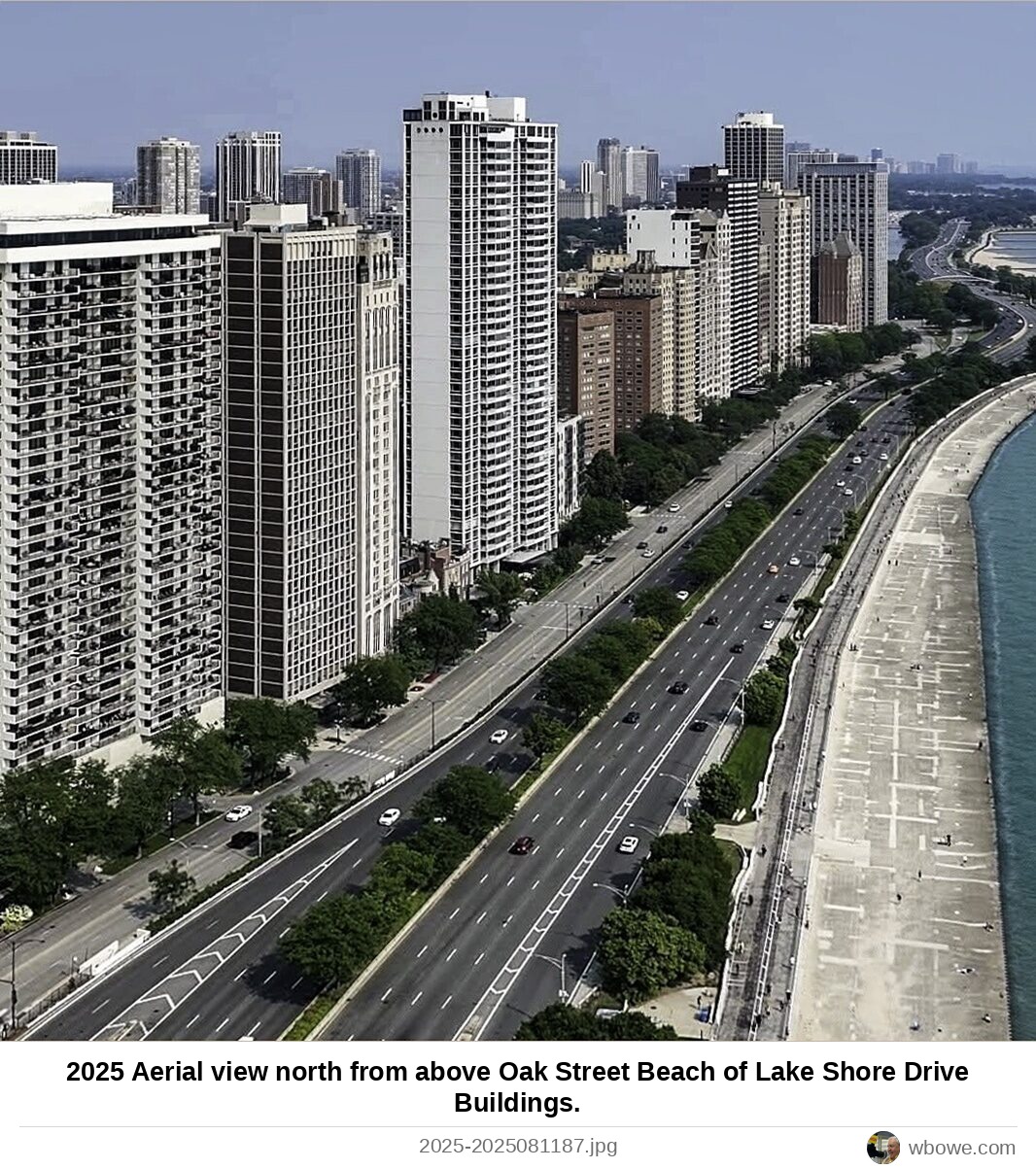
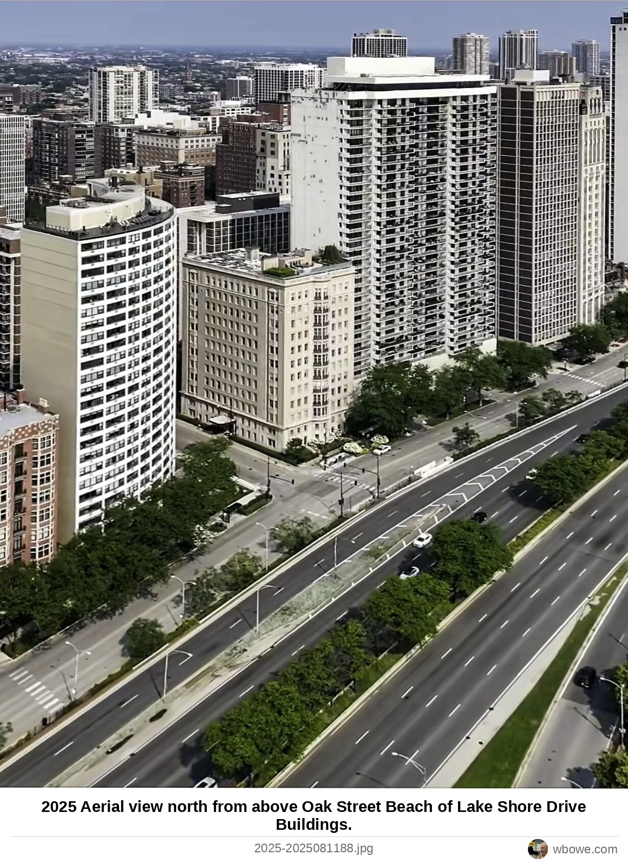
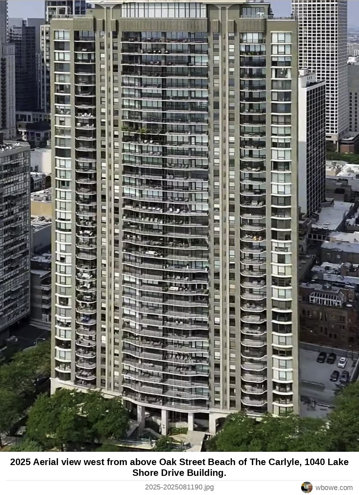
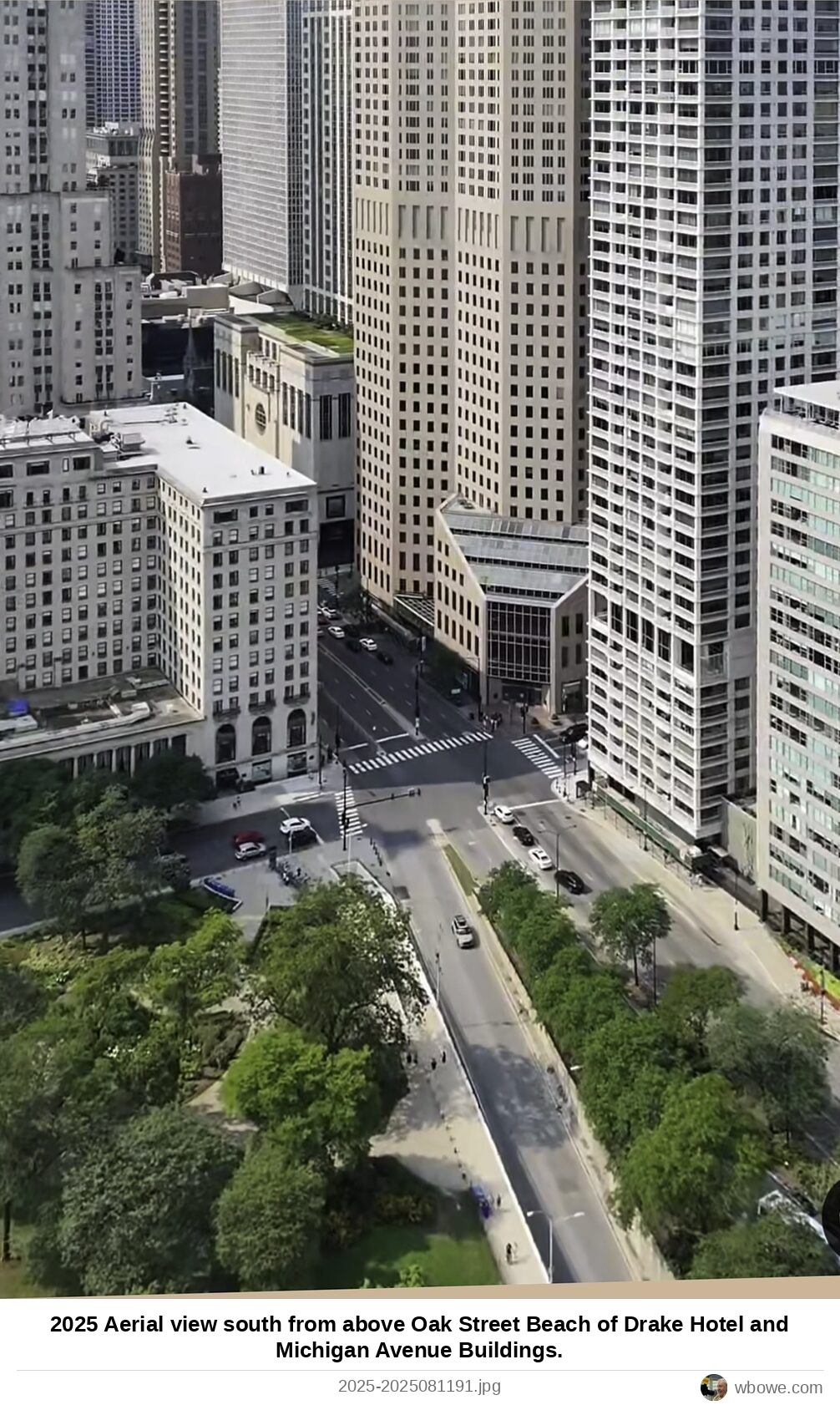
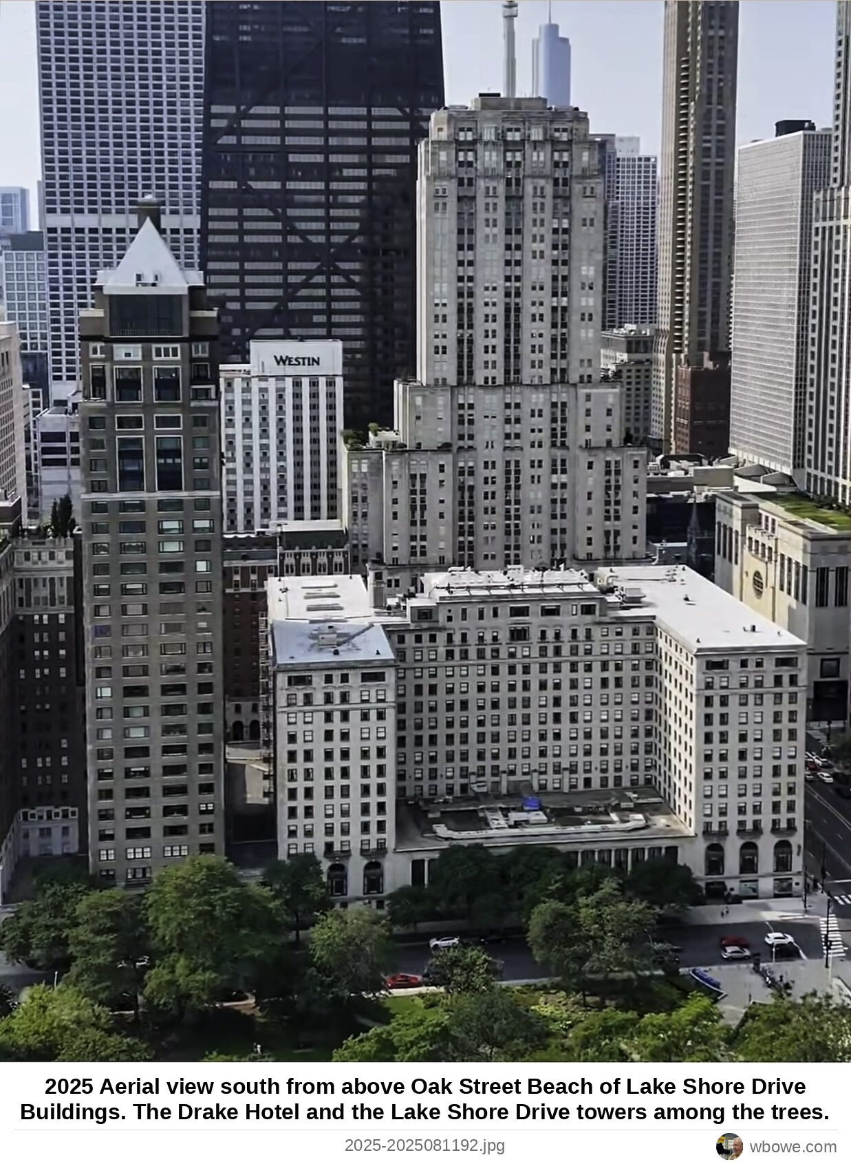
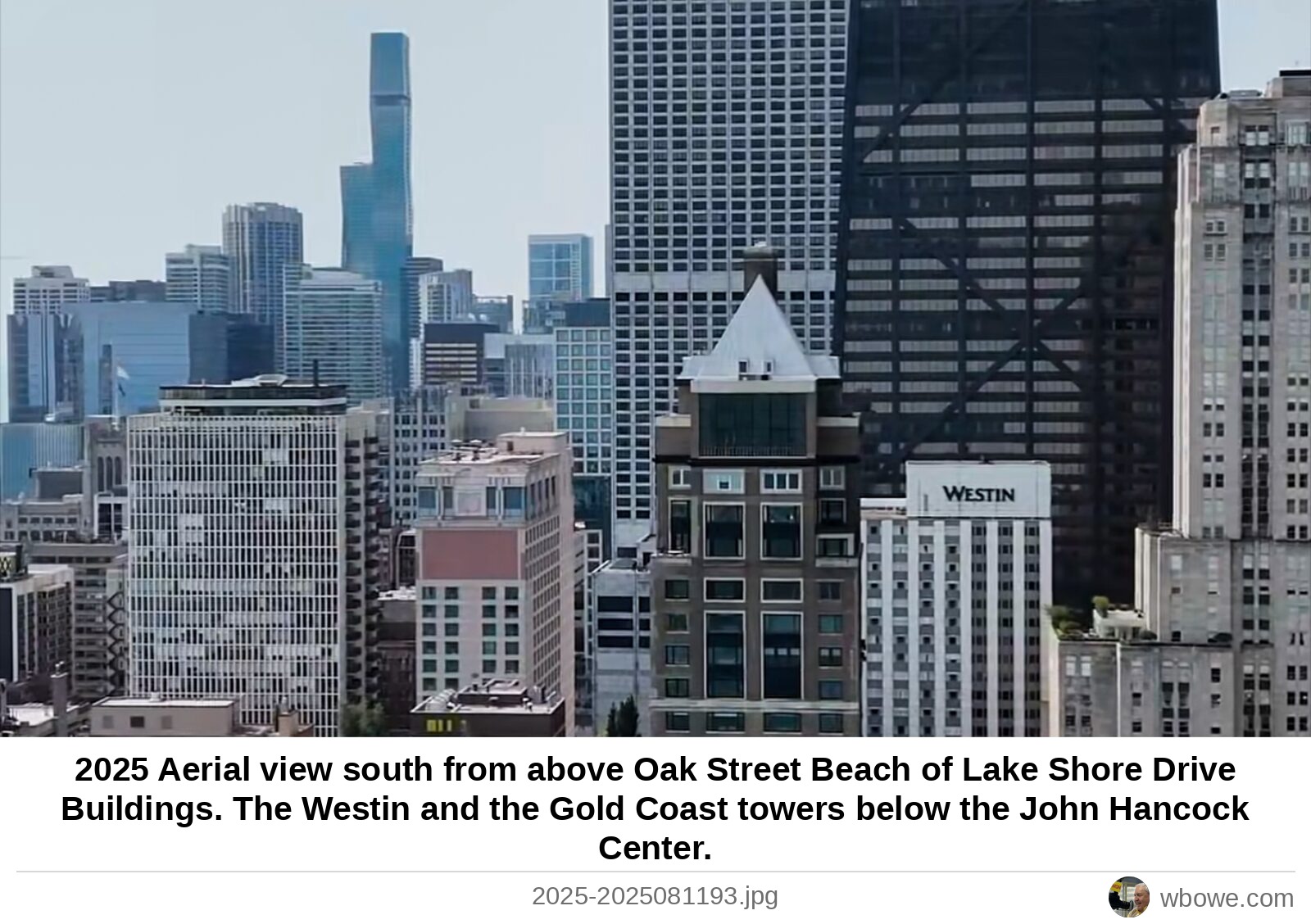
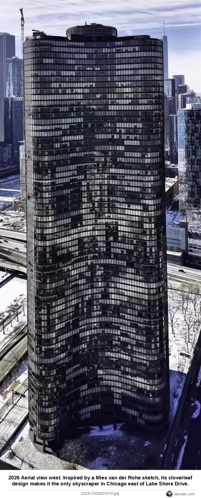
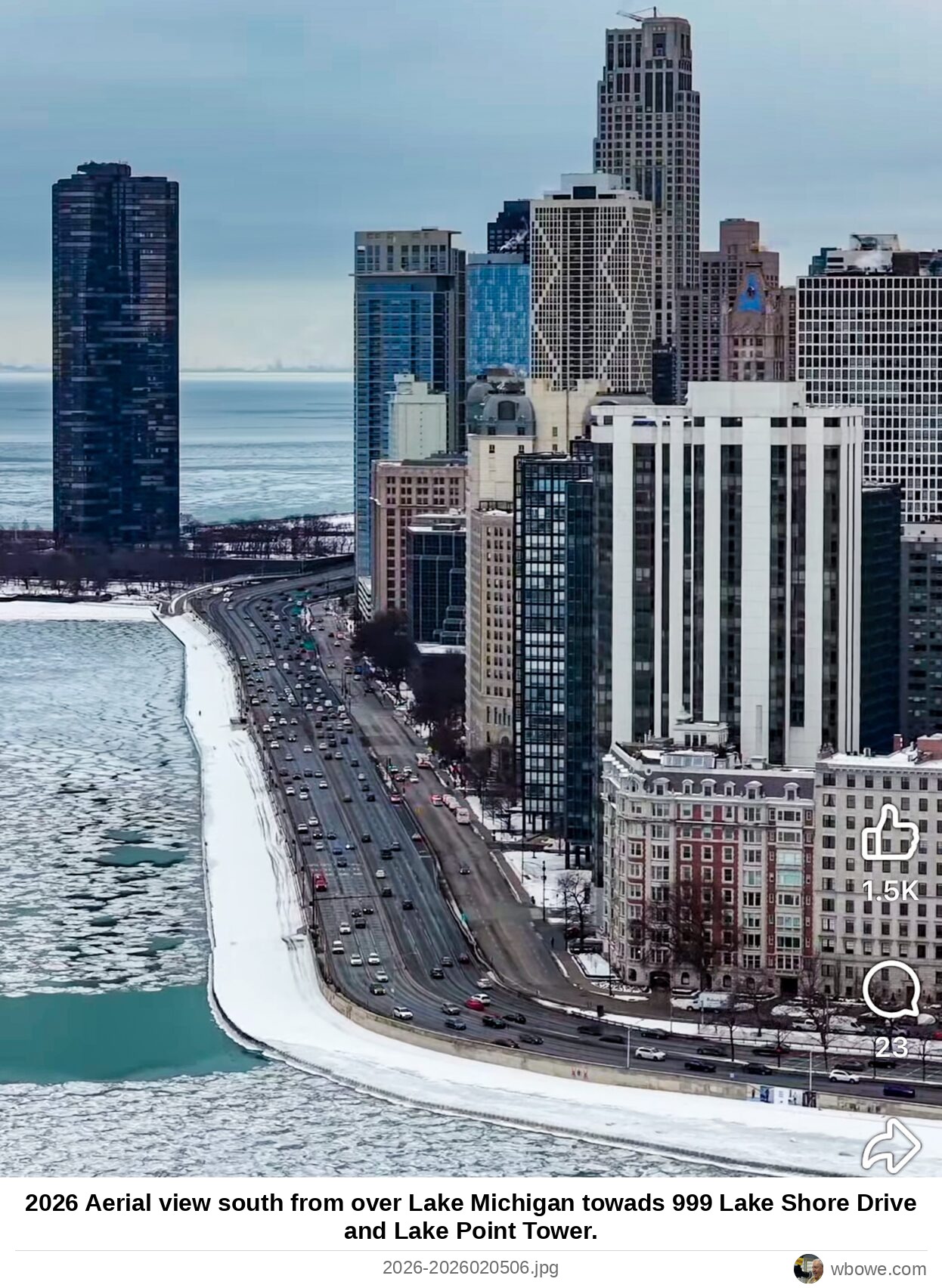
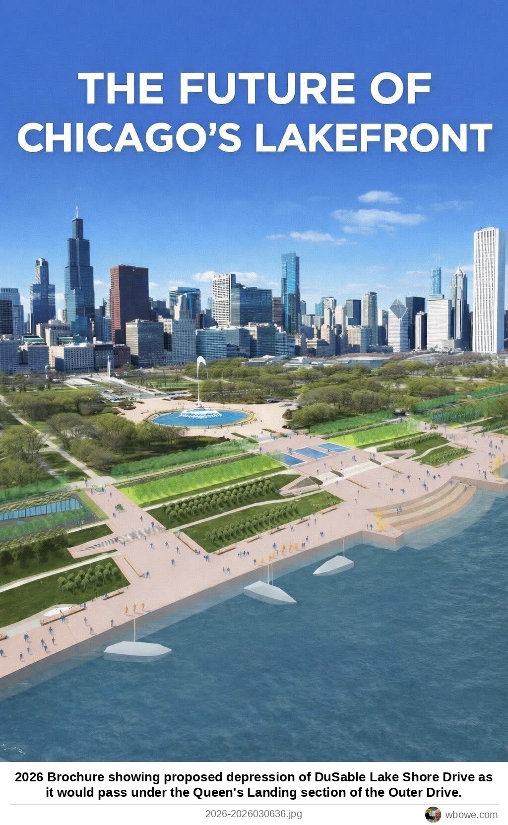
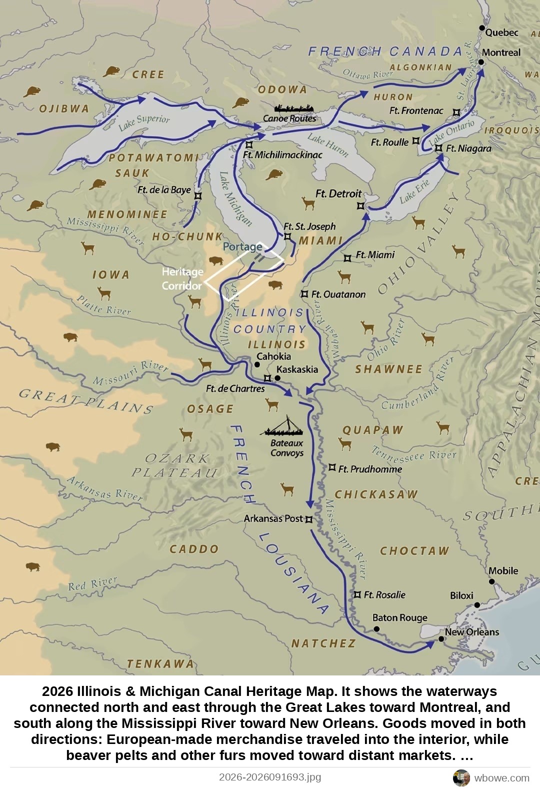
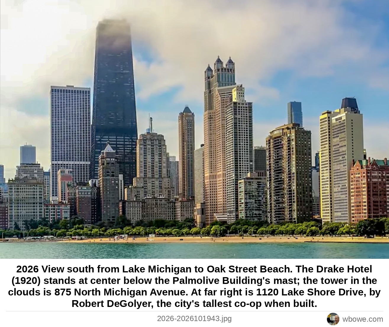
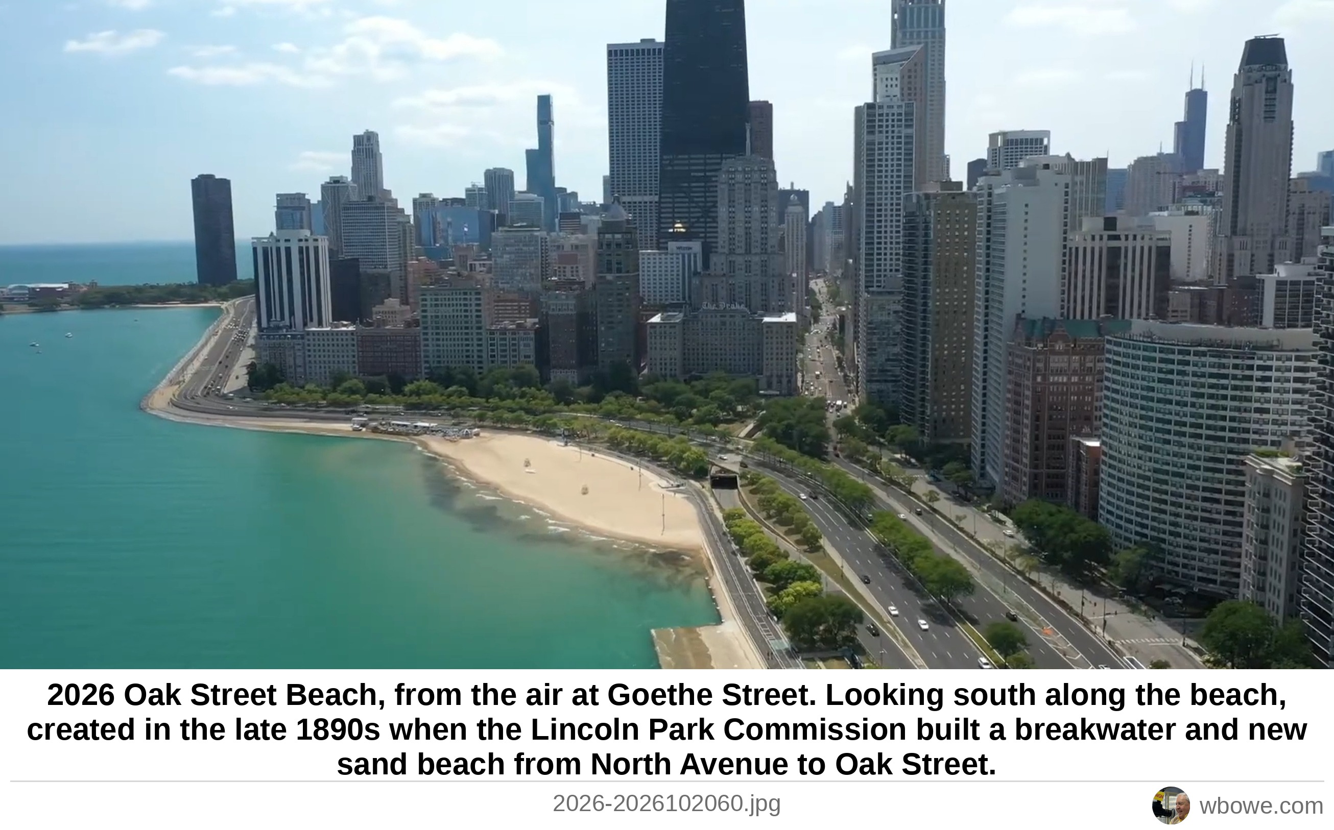
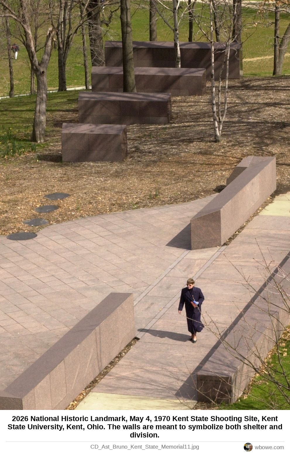
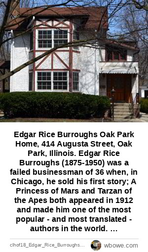
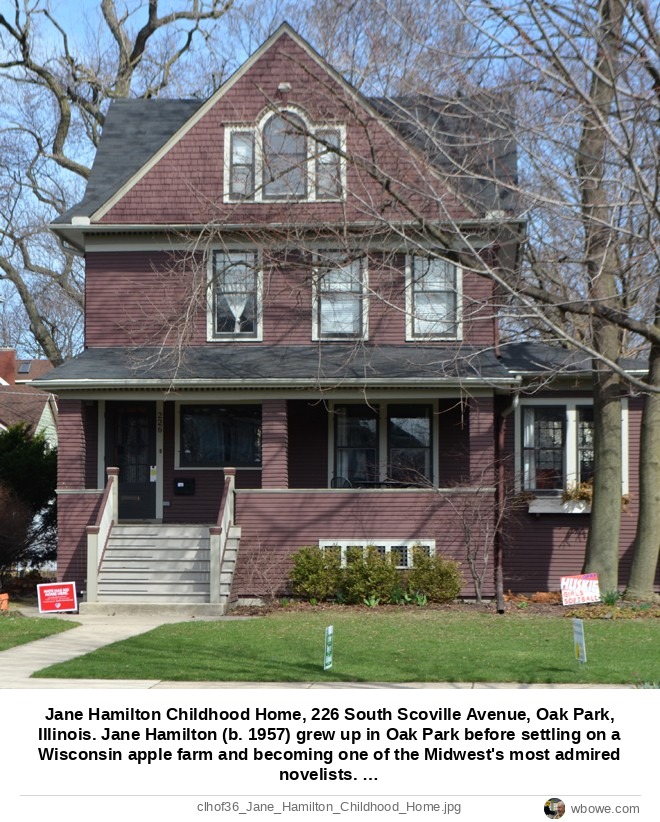
Map of Marquette and Jolliet's expedition that confirmed the Mississippi River flowed to the Gulf of Mexico 1673 The first printed map featuring Chicago ("Chekagou"), made by Vincenzo Maria Coronelli 1688 Map showing the extent of French territory 1720 Early French map depicting Great Lakes and Midwest river systems 1750 Map showing the Spanish, French, and British possessions in the New World 1763 The John Mitchell Map of the British and French Dominions in North America 1775 John Mitchell Map 1775 Early map of the western Great Lakes region showing major river basins 1784 Northwest Territory map, Illinois & Michigan Canal exhibit in LaSalle 1787 Map showing the Northwest Territory and then current boundaries of a small coastal republic surrounded by foreign colonial powers 1790 Map of Native American trails near Chicago 1804 A Karl Dilg manuscript map entitled "Indian Trails and Villages of Chicago and of Cook, DuPage and Will Counties, Ills 1804 Albert F. Scharf's 1901 Map of the Indian Trails and Villages of Chicago, Cook, DuPage, and Will Counties 1804 Map of Fort Dearborn location and the old and new shorelines of Lake Michigan 1812 A map of Chicago in 1812 1812 Map of Illinois when still part of the Northwest Territory 1818 Map of Illinois published by John Melish in Philadelphia 1819 Bird's eye painting depicting the Chicago River mouth as it may have looked at the time 1820 the Chicago/Detroit Road, just surveyed! 1822 Map survey of Chicago's early layout by Lake Michigan 1822 Illinois map of rivers and Indian territories published by Anthony Finley in Philadelphia 1824 Map of the Chicago River Mouth 1830 Enlargement of the Harrison and Guion Survey Map 1830 Map of Chicago 1836 Improvement of the Harbor of Chicago Map made from "a drawing found in the Office" made by Captain J. Allen in 1837 1837 Early Ward Map Boundaries of Downtown Chicago 1837 Plan of Chicago Harbor 1839 Impressions of Illinois from British mariner and author James S. Buckingham 1841 Map of Illinois published by the Society for the Dissemination of Useful Information 1844 Map of Northern Illinois published by the Society for the Dissemination of Useful Information 1844 Map of Illinois published by the Society for the Dissemination of Useful Information.1844 1844 Map of Northern Illinois published by the Society for the Dissemination of Useful Information 1844 Bird's eye view west from above Lake Michigan 1858 Aerial view west from above Chicago Harbor of the city just before the Great Chicago Fire in 1871 1870 Map of Chicago, showing the first four extensions of the city 1884 Map of Chicago near the time of its incorporating as a city c1833 Period Map of Old Chicago 1892 Map created by Albert F. Scharf and Karl Dilg entitled "Indian Trails and Villages of Chicago and of Cook, DuPage and Will Counties 1895 Map created by Albert F. Scharf and Karl Dilg entitled "Indian Trails and Villages of Chicago and of Cook, DuPage and Will Counties 1895 Map created by Albert F. Scharf 1895 Rand McNally map of downtown Chicago, the Loop and lakefront 1897 Bird's Eye Map of Early Chicago 1898 Bird's Eye Map of Early Chicago 1898 Bird's Eye Map of Early Chicago 1898 Bird's Eye Map of Early Chicago 1898 Chicago Harbor 1900 U.S. Geological Map of Chicago 1901 Chicago & Northwestern Railway Map, Courtesy of Boston's Geo 1902 St. Louis 1904 Ohio Street Beach 1905 Evelyn, Frances, Howard, and Sylvia Shaw at Ragdale, 1260 North Green Bay Road, Lake Forest, Illinois c.1907 Off Navy Pier 1907 Map of the Elevated Railroad train routes in Chicago 1908 Hawthorne Racetrack, 3501 South Laramie Avenue, Stickney, IL. Glenn Curtiss and his airplane for the great air race from Chicago to New York 1909 Hawthorne Racetrack, 3501 South Laramie Avenue, Stickney, IL. Glenn Curtiss and his airplane for the great air race from Chicago to New York 1909 Map of Early Chicago, Chicago, IL The Tribune runs a feature on the history of Michigan Avenue with this map, Chicago, IL 1910 1910 Postcard view from Lake Michigan west towards the Trude Building (incorrectly labeled as the “Tonde”) 1910 Rapid Transit Map of the elevated railroad train routes in Chicago 1913 Municipal Pier (Navy Pier) 1916 George Brenan's map of Chicago routes to the Indiana Dunes from his book "The Wonder Of The Dunes" published this year 1918 Oak Street Beach 1921 Wilson Avenue Beach 1922 Cicero Avenue and the Chicago Sanitary and Ship Canal 1924 Chicago Harbor Lighthouse 1925 Map of Chicago Rapid Transit Company and Chicago North Shore & Milwaukee Railroad train routes 1925 Field Museum, 1400 South Lake Shore Drive 1926 Interior of a Chicago Rapid Transit Company commuter car 1926 Aerial view south of the Museum Campus and the Field Museum of Natural History 1926 Chicago Harbor Lighthouse 1928 Construction of the domed building begins by Northerly Island's beach, later Meigs Field airport 1929 Tribune Map, Landfill on the lakefront since Captain Streator ran aground 1930s Aerial view of Irving Park Road and Lake Shore Drive cloverleaf intersection 1930 Aerial view looking north along Lake Shore Drive from North Avenue 1930 Railroad Systems of Chicago map 1930 Museum of Science & Industry (later the Griffin Museum of Science & Industry) 1930 Aerial view south from above Oak Street Beach of Lake Shore Drive and Loop buildings 1931 Aerial view southwest from off Oak Street Beach towards Streeterville and East Lake Shore Drive buildings 1931 Oak Street Beach picture of boxer Kingfish Levinsky and sister-manager "Leaping" Lena Levy with 1120 Lake Shore Drive behind them 1932 Map of Chicago for the Century of Progress World's Fair 1933 Aerial view of the 23rd Street Bridge and fairgrounds of the Century of Progress worlds fair 1933 Aerial view west of the 23rd street bridge (now McCormick Place) to the Century of Progress World’s Fair from the Goodyear Blimp 1933 Aerial view north of Montrose, Belmont, and Diversey Harbors 1933 Aerial view south from North Avenue towards Oak Street Beach and the Drake Hotel 1935 Airplane vIew northeast towards Oak Street Beach 1937 Airplane view north of Grant Park, train yard and Streeterville 1937 Aerial view north of Northerly Island before Meigs Field airport 1937 Aerial view north from above Lake Michigan towards the Illinois Central trainyard and Streeterville buildings 1937 Aerial view north of Diversey, Belmont and Montrose harbors 1938 Oak Street Beach, at Cedar Street and Lake Shore Drive 1938 Chicago motor coach co1940 Clason Map or Plan of Chicago, Illinois (Magnificent Mile, the Loop and Downtown Chicago) 1940 The Belt Line Railroad Clearing Yard 1941 Foster Avenue Beach 1945 Aerial colorized view at Navy Pier of USS Wolverine (IX-64) and USS Sable (IX-81) 1945 Aerial view of O'Hare Airport (then Orchard Field) 1949 Chicago Terminal District Map published by the Chicago Freight Association depicting then current railroad system in Chicago 1950 Above the Shedd Aquarium 1950 View northwest of Navy Pier 1951 Chicago Harbor Entrance 1951 Aerial view of the start of construction for the extension of the outer drive to Hollywood 1952 57th Street Beach 1954 57th Street Beach 1954 57 Street Beach 1954 Airplane view of the Edgewater Beach Hotel after the Outer Drive extension 1956 Aerial view northwest of Nike Missile Site C-03 at Montrose Harbor 1956 German submarine U-505 on 57th Street beach by the Museum of Science and Industry 1957 Map of Chicago’s Passenger Railroad Stations 1958 Exterior view of Mitchell Hall, the main cadet dining facility at the US Air Force Academy, Colorado Springs, Colorado 1958 Interior of Mitchell Hall, the main cadet dining facility at the US Air Force Academy, Colorado Springs, Colorado 1958 Aerial view northeast of McCormick Place Lakeside complex under construction and destroyed by fire in 1967 1959 Skokie Public Library, 5215 Oakton Street, Skokie, Illinois (Gertrude Kerbis with Skidmore, Owings & Merrill) 1962 Navy Pier 1962 Howard Street Elevated Train Station 1963 Aerial view south of Chicago convention center McCormick Place 1967 Holiday Inn Chicago Lake Shore Drive Hotel, 644 North Lake Shore Drive 1969 Markers at the National Historic Landmark at Kent State University, Kent, Ohio 1970 National Historic Landmark, May 4, 1970 Kent State Shooting Site, Kent State University, Kent, Ohio 1970 National Historic Landmark, May 4, 1970 Kent State Shooting Site, Kent State University, Kent, Ohio 1970 National Historic Landmark, May 4, 1970 Kent State Shooting Site, Kent State University, Kent, Ohio 1970 National Historic Landmark, May 4, 1970 Kent State Shooting Site, Kent State University, Kent, Ohio 1970 Airplane over Oak Street Beach 1970 Oak Street Beach 1978 E.W. Eckert's map of Chicago River and early Indian trails including Green Bay, Northwest, and Archer trails 1982 Aerial view of Dyche Stadium, Evanston 1990 Aerial view of Oak Street Beach 1993 Aerial view south of Shedd Aquarium, and the Field Museum at Museum Campus and Soldier Field 1994 Aerial view south of the new routing of Lake Shore Drive creating the Museum Campus 1998 Meigs Field shown on March 31, 2003, after Mayor Daley’s surprise closure of the Loop airport, citing security concerns.Sun-Times file 2003 LaSalle Explores America Map published in the last edition of Compton's Encyclopedia 2009 Aerial view over the Loop, from the Vista Tower sales brochure 2017 Aerial view of Millennium Park and the harbor, with the Vista Tower site, from the sales brochure 2017 Oak Street Beach 2021 Oak Street Beach 1929 Rendering of Oak Street Beach expansion (1120) 2023 Aerial View of Millennium Park 2023 View from airplane of Oak Street Beach at night 2023 Northerly Island 2023 Ryan Field, Evanston 2024 Ryan Field, Evanston 2024 Ryan Field, Evanston 2024 6/10/2024 2422 Colony Court, Northbrook, IL Dying redbud tree is coming down, Northbrook, IL 2024 2024 6/10/2024 2422 Colony Court, Northbrook, IL Dying redbud tree is coming down, Northbrook, IL 2024 2024 Aerial view west of Oak Street Beach and 1120 Lake Shore Drive 2024 Aerial view of current Lake Shore Drive "S" turn at Oak Street Beach 2024 DuSable Lake Shore Drive Study 2024 Airplane Approaching O'Hare Airport over Lake Michigan 2024 Above North Avenue Beach 2024 Aerial view south towards Oak Street Beach from North Avenue 2024 Drone aerial view south from Fullerton Avenue towards North Avenue and Oak Street Beaches 2024 William J. Bowe 2024 Aerial view south towards Oak Street Beach and Lake Shore Drive Buildings from above North Avenue Beach 2025 Aerial view south towards Oak Street Beach and Lake Shore Drive Buildings from above North Avenue Beach 2025 Aerial view south towards Oak Street Beach and Lake Shore Drive Buildings from above North Avenue Beach 2025 Aerial view south towards Oak Street Beach and Lake Shore Drive Buildings from above North Avenue Beach 2025 Aerial view north from above Oak Street Beach of Lake Shore Drive Buildings 2025 Aerial view north from above Oak Street Beach of Lake Shore Drive Buildings 2025 Aerial view west from above Oak Street Beach of 18-story 1120 Lake Shore Drive and adjacent buildings 2025 Aerial view west from above Oak Street Beach of The Carlyle, 1040 Lake Shore Drive Building 2025 Aerial view south from above Oak Street Beach of Drake Hotel and Michigan Avenue Buildings 2025 Aerial view south from above Oak Street Beach of Lake Shore Drive Buildings 2025 Aerial view south from above Oak Street Beach of Lake Shore Drive Buildings 2025 Aerial view south from above Oak Street Beach of Lake Shore Drive Buildings 2025 Aerial view west 2026 Aerial view south from over Lake Michigan towads 999 Lake Shore Drive and Lake Point Tower 2026 Brochure showing proposed depression of DuSable Lake Shore Drive as it would pass under the Queen's Landing section of the Outer Drive 2026 Brochure diagram showing proposed reconstruction of the lakefront by Monroe Street Harbor 2026 Brochure diagram showing proposed reconstruction of the lakefront by Monroe Street Harbor 2026 Brochure diagram showing proposed reconstruction of the lakefront by Monroe Street Harbor 2026 Map of the Fox, Des Plaines, Kankakee and Illinois Rivers 2026 Illinois & Michigan Canal Heritage Map 2026 View south from Lake Michigan to Oak Street Beach 2026 Oak Street Beach, from the air at Goethe Street 2026 National Historic Landmark, May 4, 1970 Kent State Shooting Site, Kent State University, Kent, Ohio 2026 Edgar Rice Burroughs Oak Park Home, 414 Augusta Street, Oak Park, Illinois Edgar Rice Burroughs Last Chicago-area Home, 700 Linden Avenue, Oak Park, Illinois Edgar Rice Burroughs Exhibit, 129 Lake Street, Oak Park, Illinois Jane Hamilton Childhood Home, 226 South Scoville Avenue, Oak Park, Illinois Harriette Gillem Robinet's Home, 214 South Elmwood Avenue, Oak Park, Illinois