1720Map showing the extent of French territory
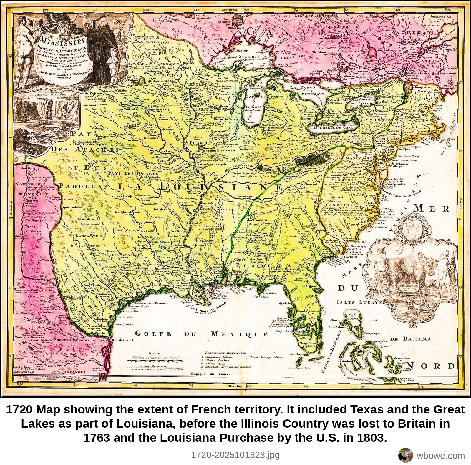
1720 Map showing the extent of French territory. It included Texas and the Great Lakes as part of Louisiana, before the Illinois Country was lost to Britain in 1763 and the Louisiana Purchase by the U.S. in 1803.