1839Plan of Chicago Harbor
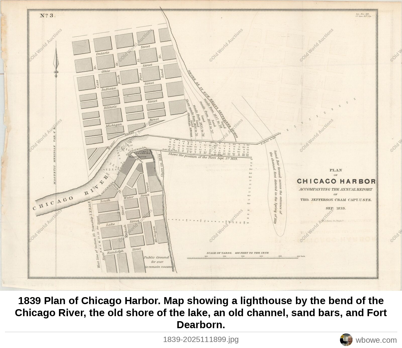
1839 Plan of Chicago Harbor. Map showing a lighthouse by the bend of the Chicago River, the old shore of the lake, an old channel, sand bars, and Fort Dearborn.
1839 Plan of Chicago Harbor. Map showing a lighthouse by the bend of the Chicago River, the old shore of the lake, an old channel, sand bars, and Fort Dearborn.