2026Illinois & Michigan Canal Heritage Map
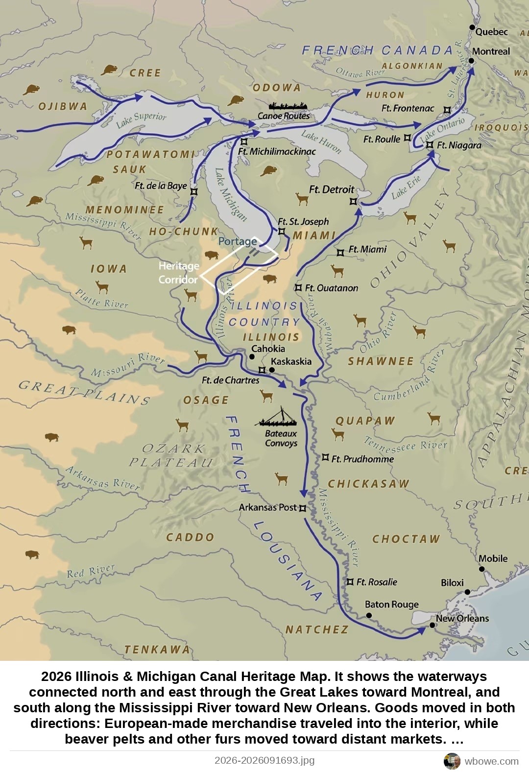
2026 Illinois & Michigan Canal Heritage Map. It shows the waterways connected north and east through the Great Lakes toward Montreal, and south along the Mississippi River toward New Orleans. Goods moved in both directions: European-made merchandise traveled into the interior, while beaver pelts and other furs moved toward distant markets. A relatively short portage connected the Illinois River system with Lake Michigan, linking the Mississippi River watershed to the Great Lakes. North American fur trade. The blue lines trace the rivers, lakes and portages used by voyageurs and other traders to move through the interior. From the Illinois Country, these waterways connected north and east through the Great Lakes toward Montreal, and south along the Mississippi River toward New Orleans.