1688The first printed map featuring Chicago ("Chekagou"), made by Vincenzo Maria Coronelli
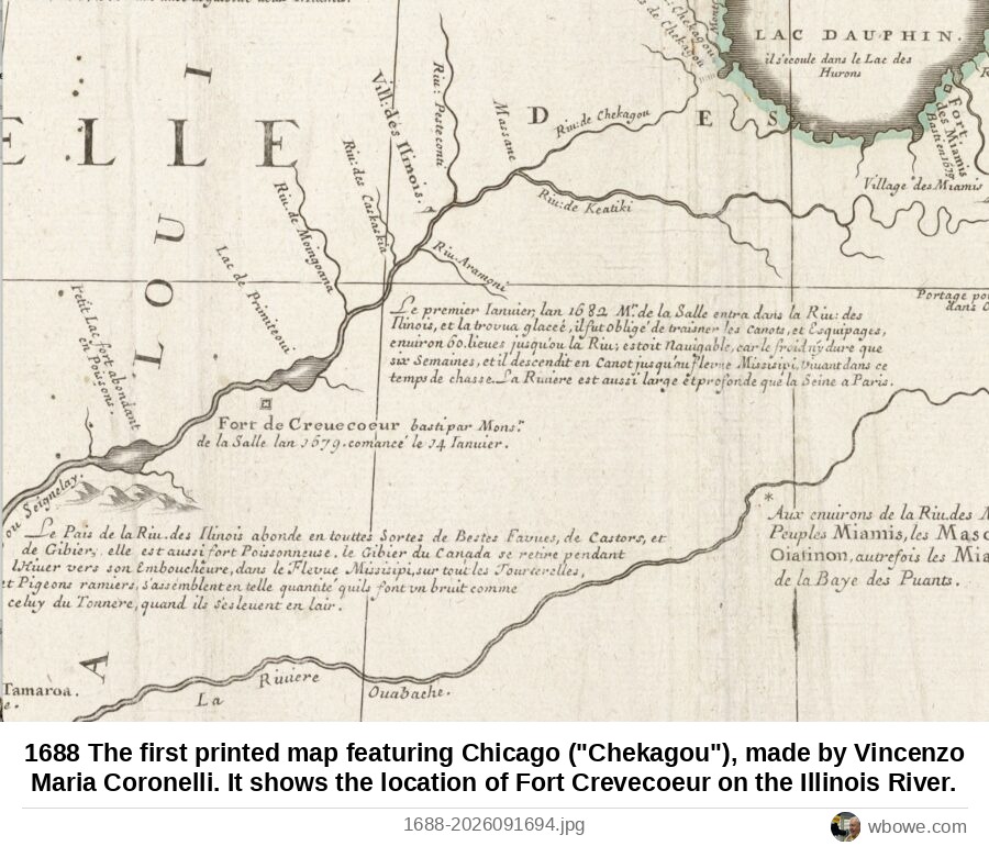
1688 The first printed map featuring Chicago ("Chekagou"), made by Vincenzo Maria Coronelli. It shows the location of Fort Crevecoeur on the Illinois River.
1688 The first printed map featuring Chicago ("Chekagou"), made by Vincenzo Maria Coronelli. It shows the location of Fort Crevecoeur on the Illinois River.