Vintage ChicagoA Cliff Dweller's History in photographs Open the interactive map ›

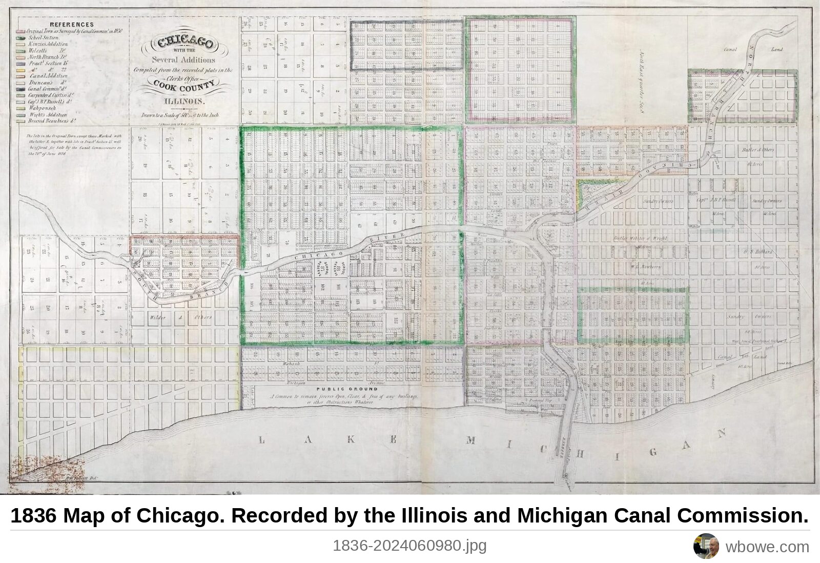
1836Map of Chicago

1836 Map of Chicago

1836 Map of Chicago. Recorded by the Illinois and Michigan Canal Commission.

Greater Chicago, Chicago · Early Settlement Chicago, 1813–1870

See it on the Vintage Chicago mapAll Greater Chicago photos
← 1830 Enlargement of the Harrison and Guion Survey Map→ 1837 Improvement of the Harbor of Chicago Map made from "a drawing found in the Office" made by Captain J. Allen in 1837