1775The John Mitchell Map of the British and French Dominions in North America
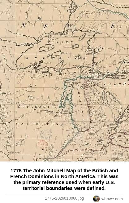
1775 The John Mitchell Map of the British and French Dominions in North America. This was the primary reference used when early U.S. territorial boundaries were defined.
1775 The John Mitchell Map of the British and French Dominions in North America. This was the primary reference used when early U.S. territorial boundaries were defined.