1893Rand McNally's Bird's-Eye Views and Guide to the City of Chicago shows The Manhattan Building as number 3 on Printers Row
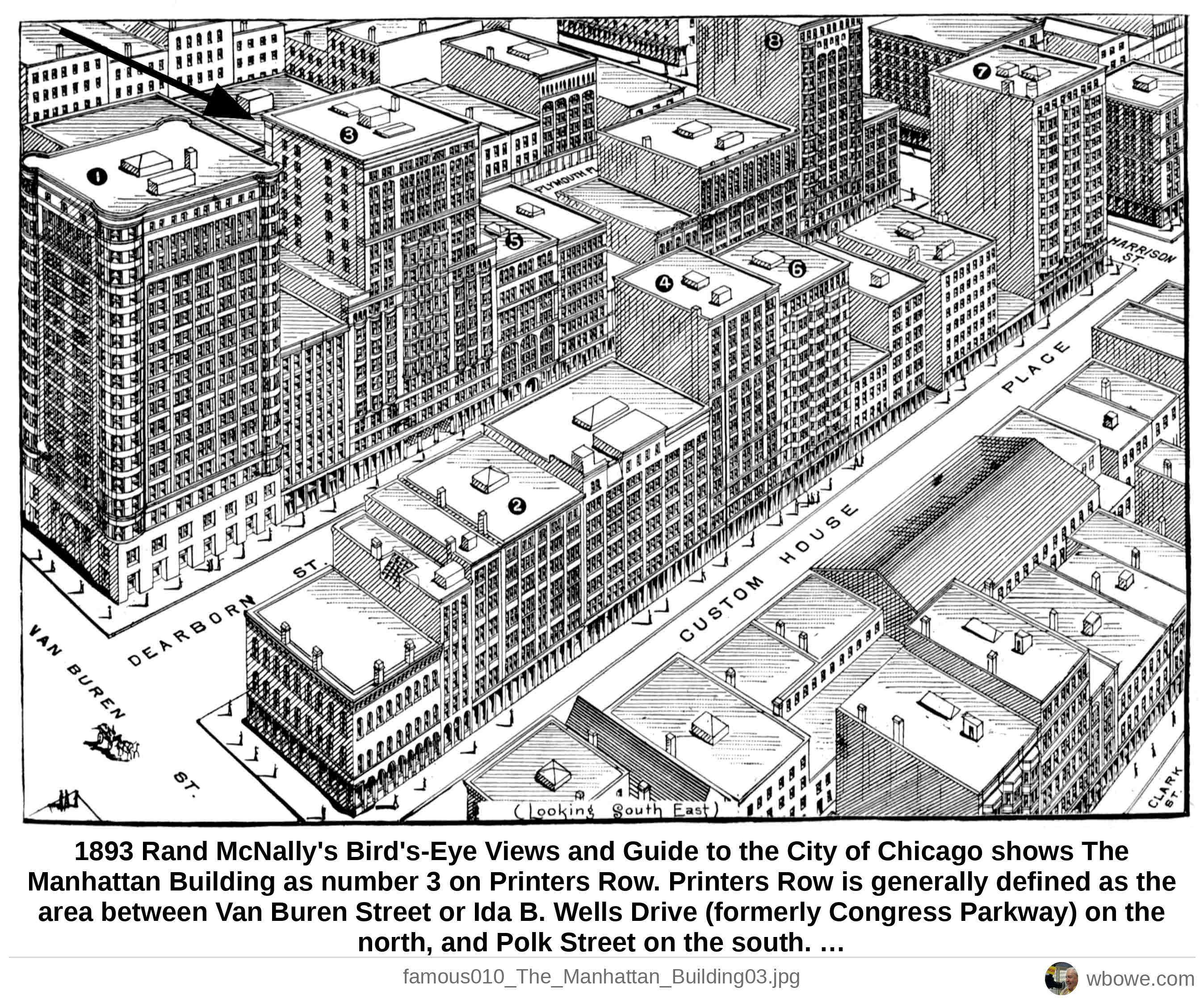
1893 Rand McNally's Bird's-Eye Views and Guide to the City of Chicago shows The Manhattan Building as number 3 on Printers Row. Printers Row is generally defined as the area between Van Buren Street or Ida B. Wells Drive (formerly Congress Parkway) on the north, and Polk Street on the south. The district is primarily centered on Dearborn Street, from Clark Street on the west, to Plymouth Court on the east.
See it on the Vintage Chicago map▶ Play the Loop slideshowAll Loop photos