Vintage ChicagoA Cliff Dweller's History in photographs Open the interactive map ›

1853The 1853 Chicago Court House and City Hall, Randolph, Clark, Washington, and LaSalle Block shown on city map surveyed by Henry Hart
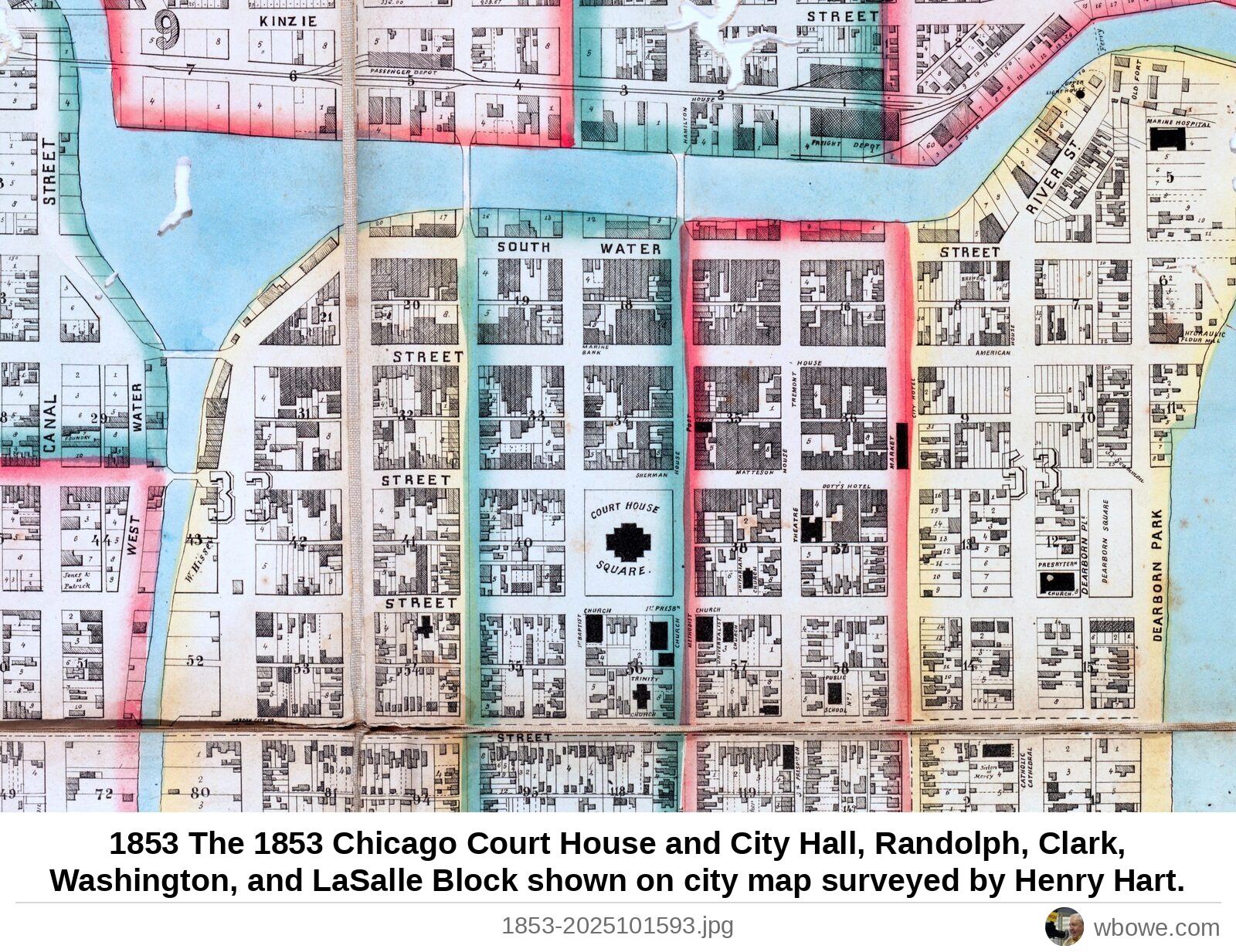
1853 The 1853 Chicago Court House and City Hall, Randolph, Clark, Washington, and LaSalle Block shown on city map surveyed by Henry Hart

1853 The 1853 Chicago Court House and City Hall, Randolph, Clark, Washington, and LaSalle Block shown on city map surveyed by Henry Hart.

Loop, Chicago · Early Settlement Chicago, 1813–1870

See it on the Vintage Chicago map▶ Play the Loop slideshowAll Loop photos

← 1850 Map of the Aurora Branch Railroad, later the Chicago, Burlington & Quincy and now the Burlington Northern Santa Fe (BNSF)→ 1855 Block bounded by LaSalle, Washington, Clark and Randolph Streets