1839Map of the mouth of the Chicago River
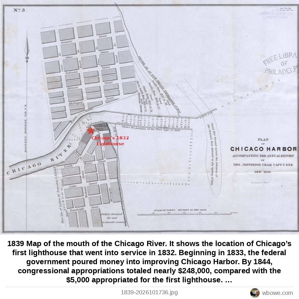
1839 Map of the mouth of the Chicago River. It shows the location of Chicago’s first lighthouse that went into service in 1832. Beginning in 1833, the federal government poured money into improving Chicago Harbor. By 1844, congressional appropriations totaled nearly $248,000, compared with the $5,000 appropriated for the first lighthouse. Engineers cut a more direct entrance through the sandbar, dredged the channel, and built piers extending farther into Lake Michigan. The tiny numbers in the lake and river entrance are depth soundings.
See it on the Vintage Chicago map▶ Play the Loop slideshowAll Loop photos