Vintage Chicago › Neighborhoods › Near South SideNear South Side: 132 vintage photos, 1812– Every Near South Side photograph on the Vintage Chicago map , oldest first. The color bar on each photo shows its era. Click a photo for its full story and its place on the map.
Open Near South Side on the Vintage Chicago map ▶ Play the Near South Side slideshow
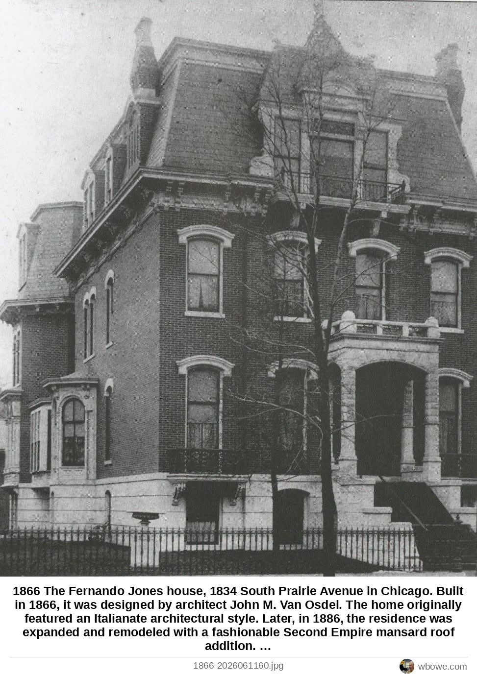
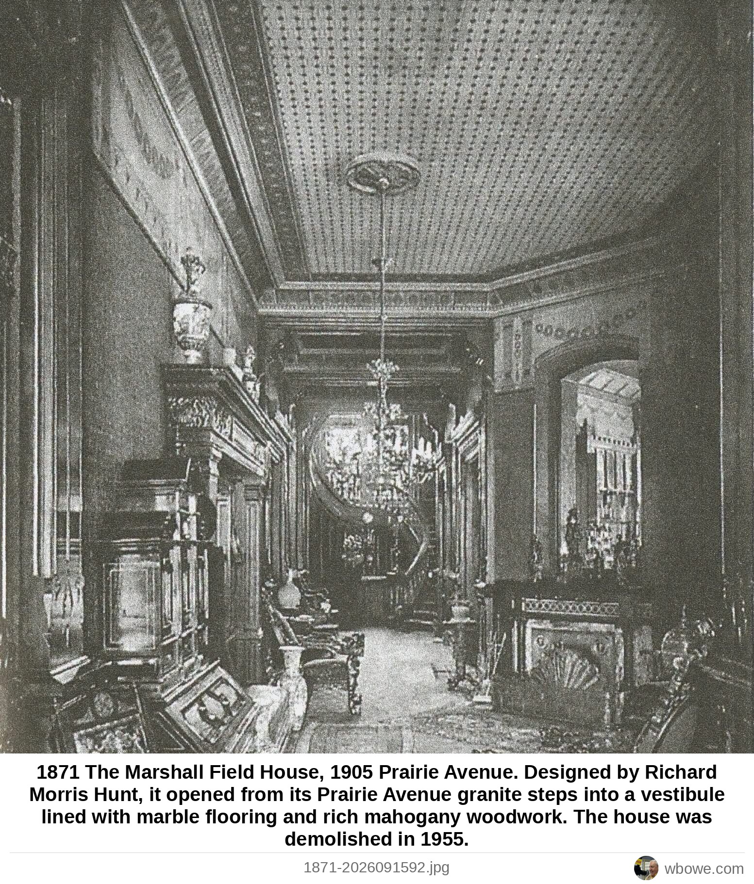
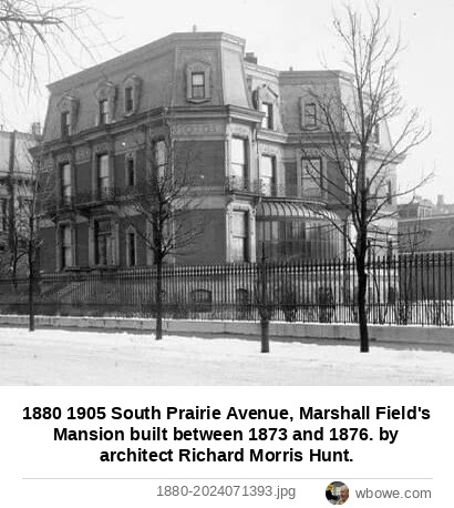
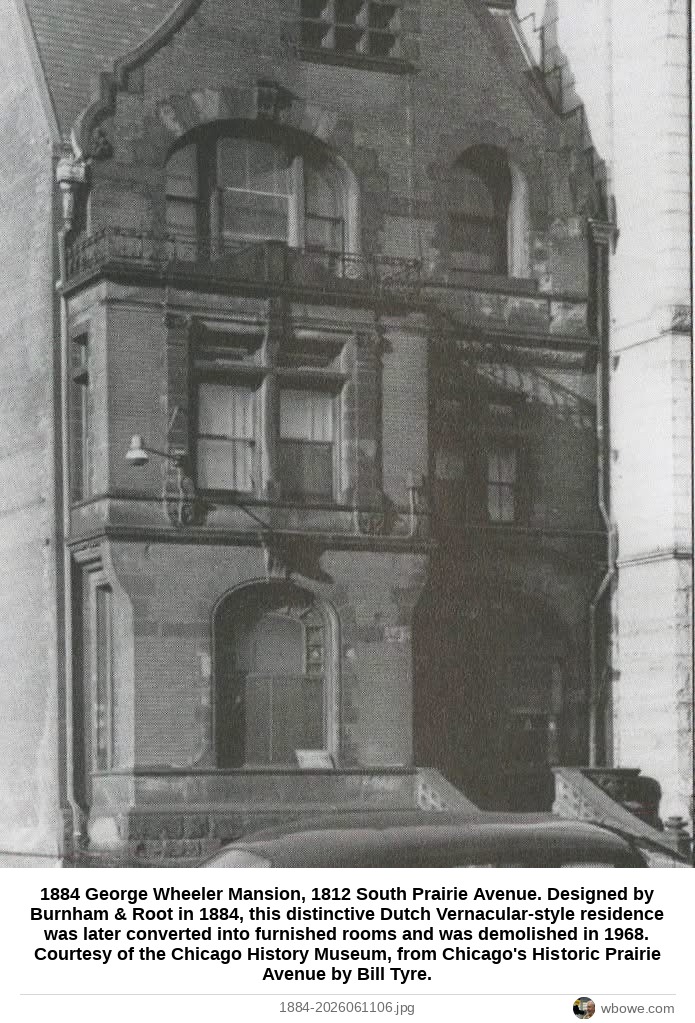
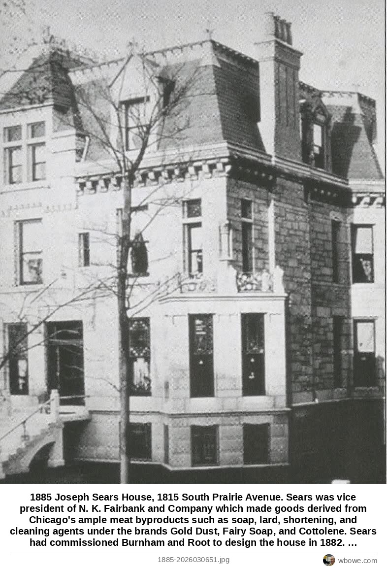
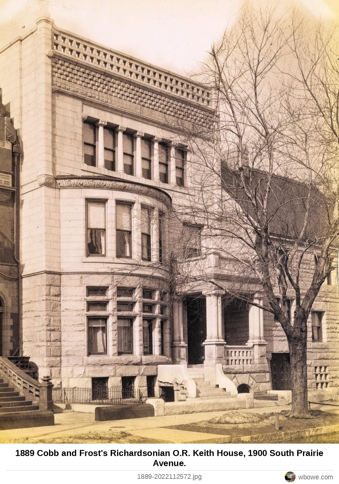
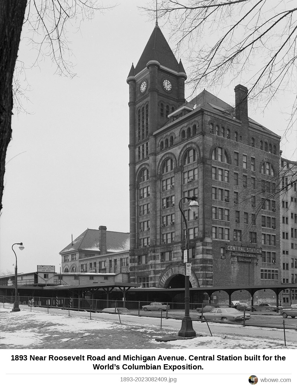
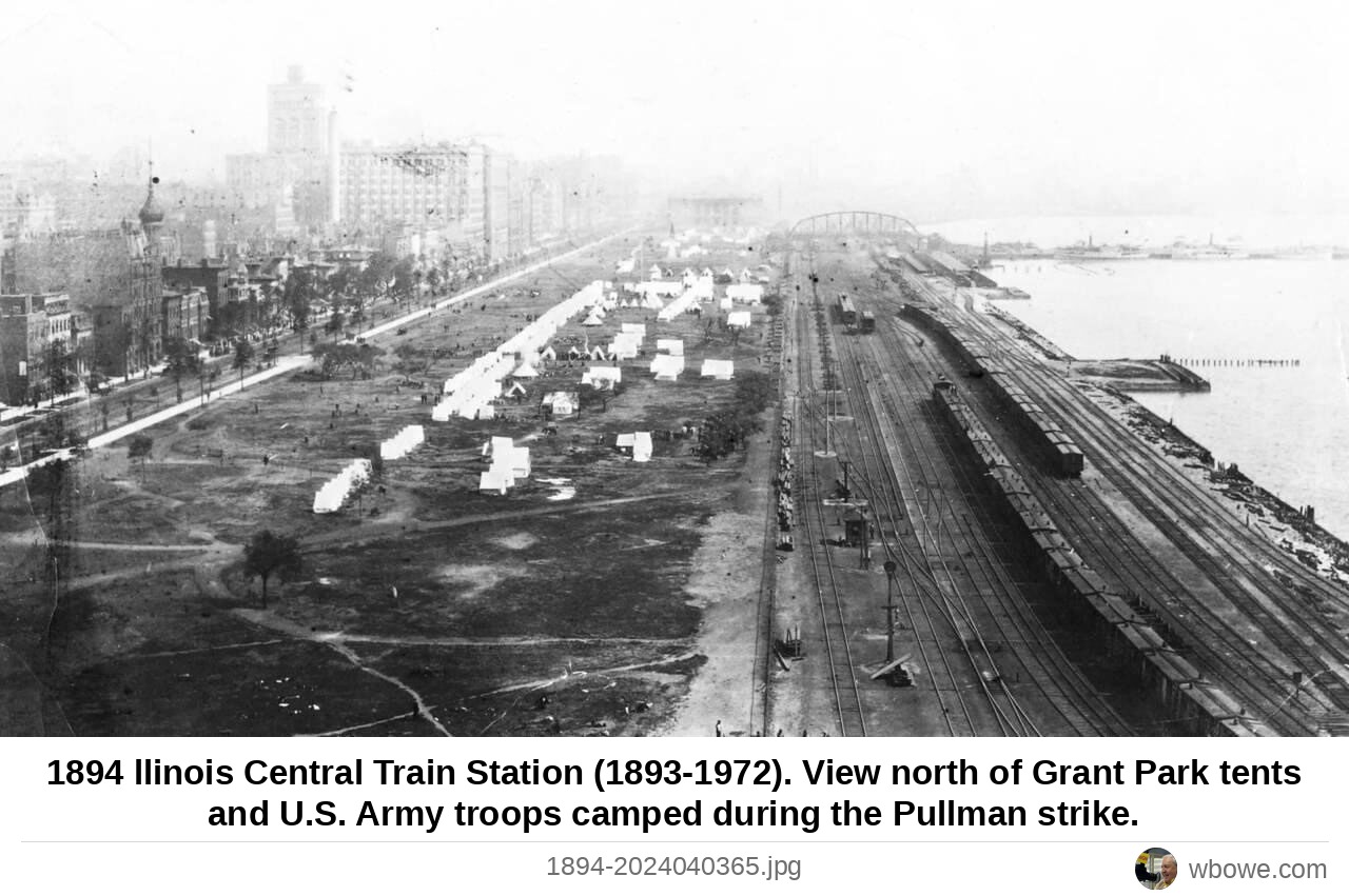
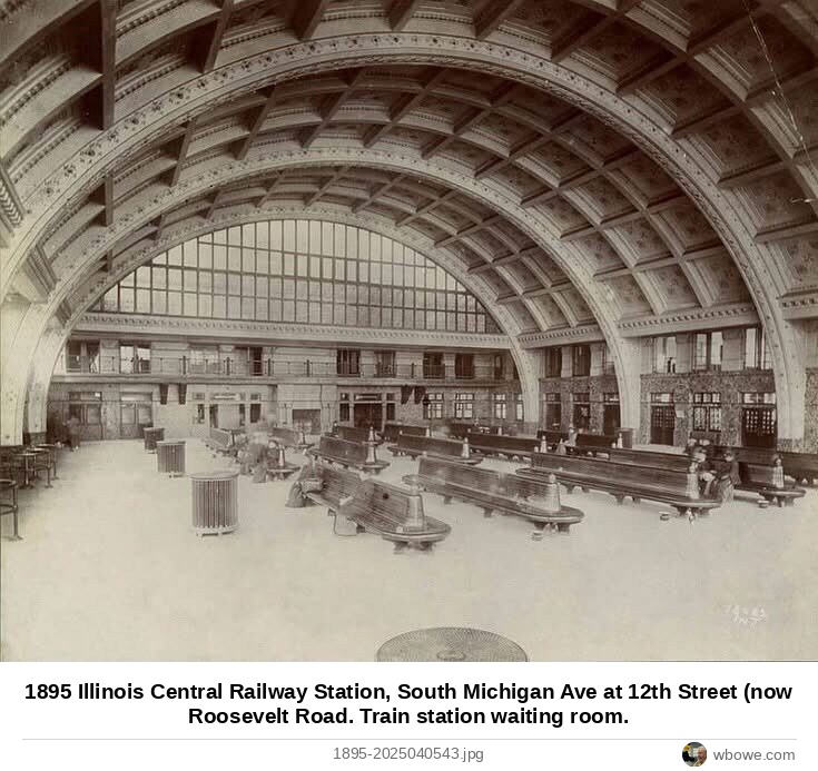
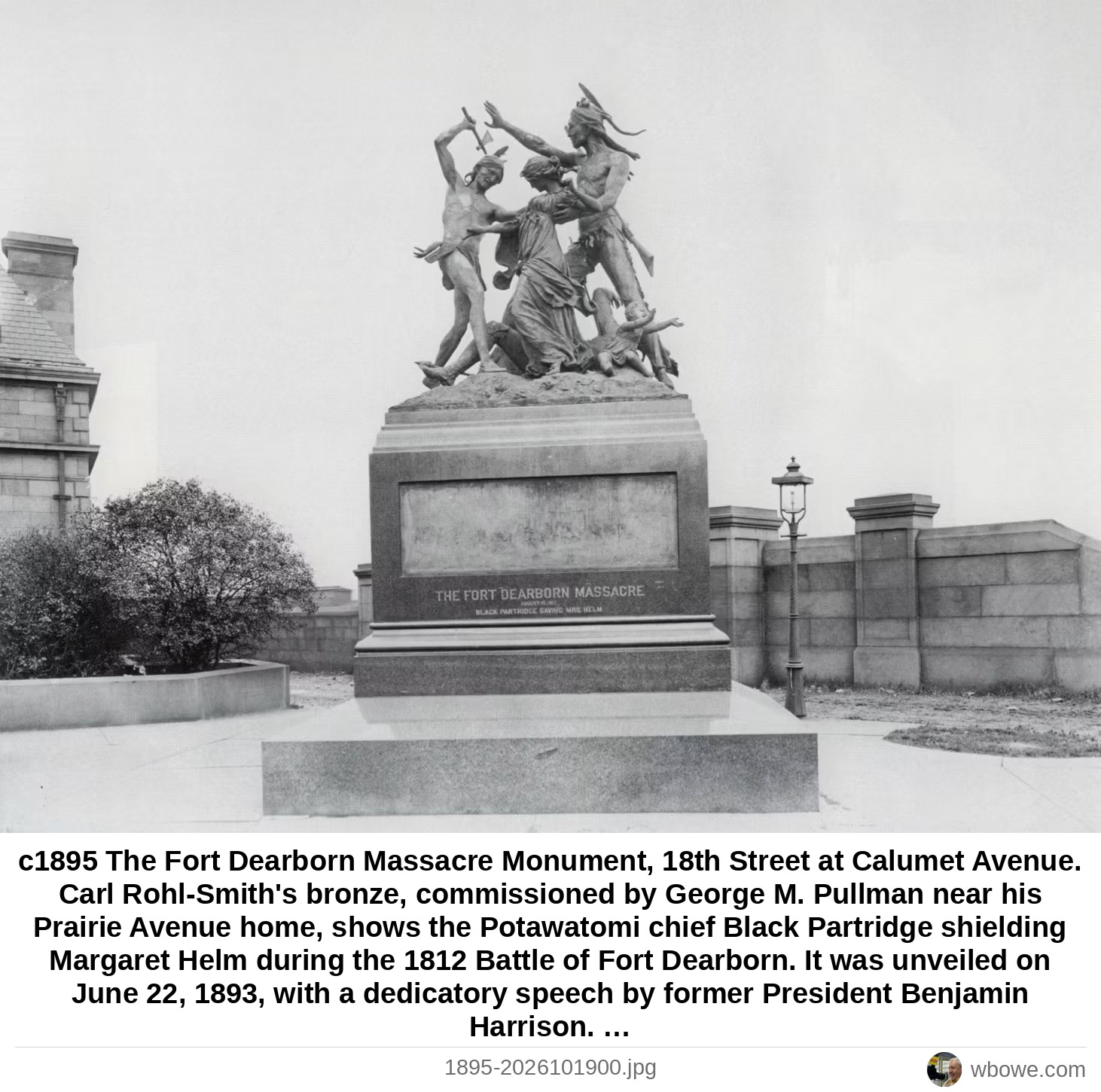
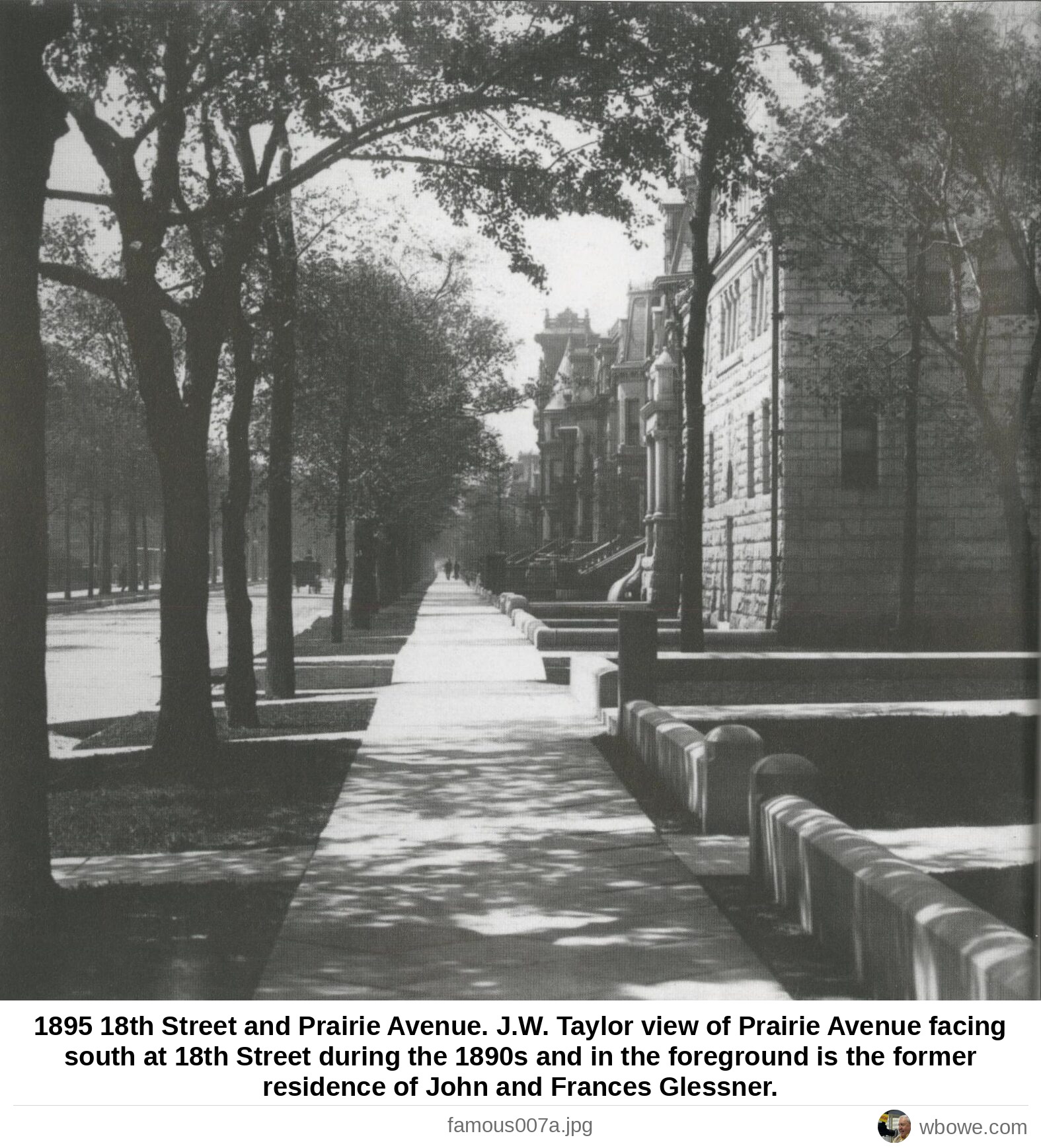
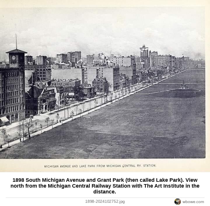
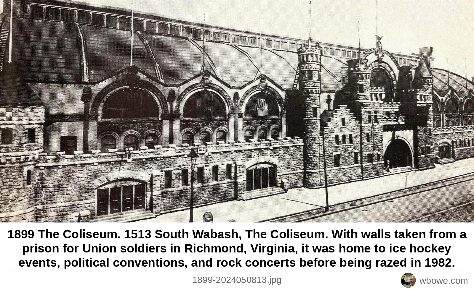
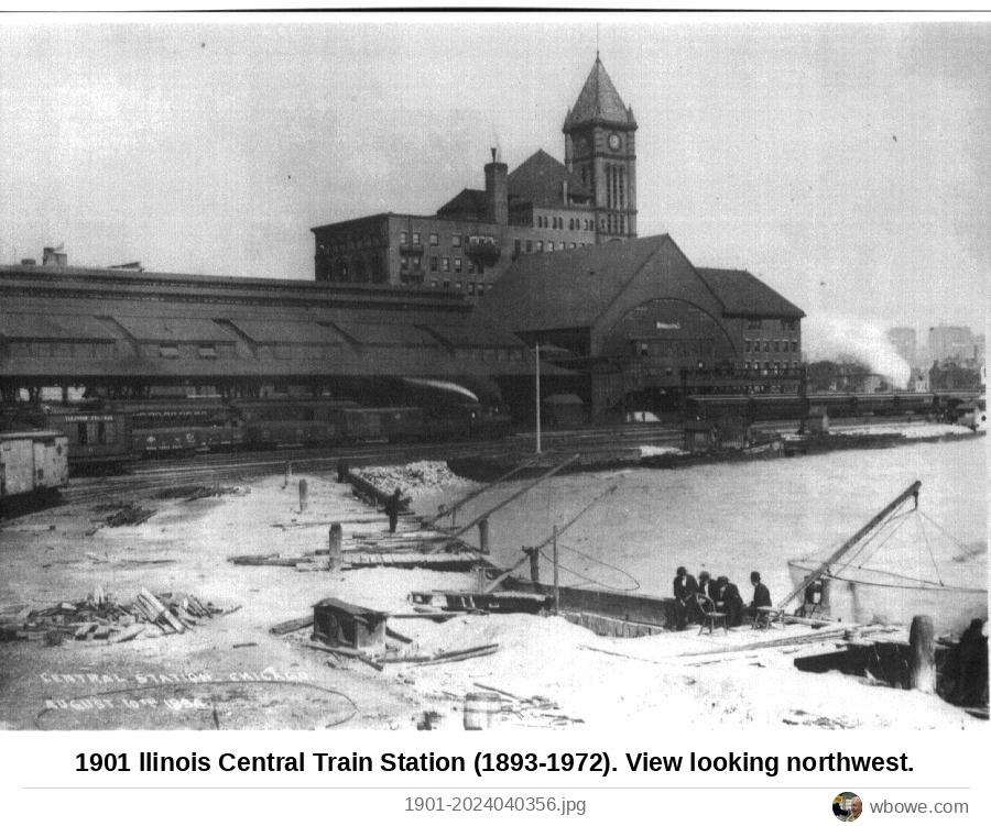
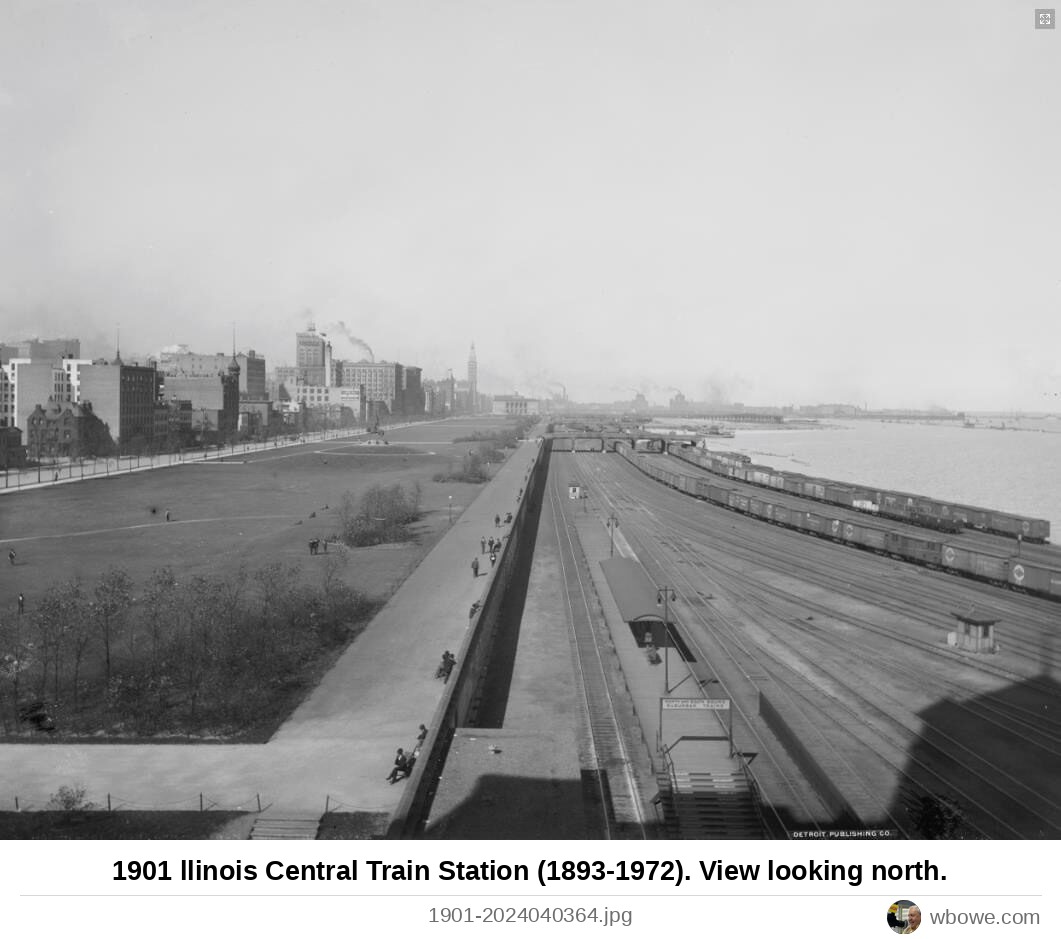
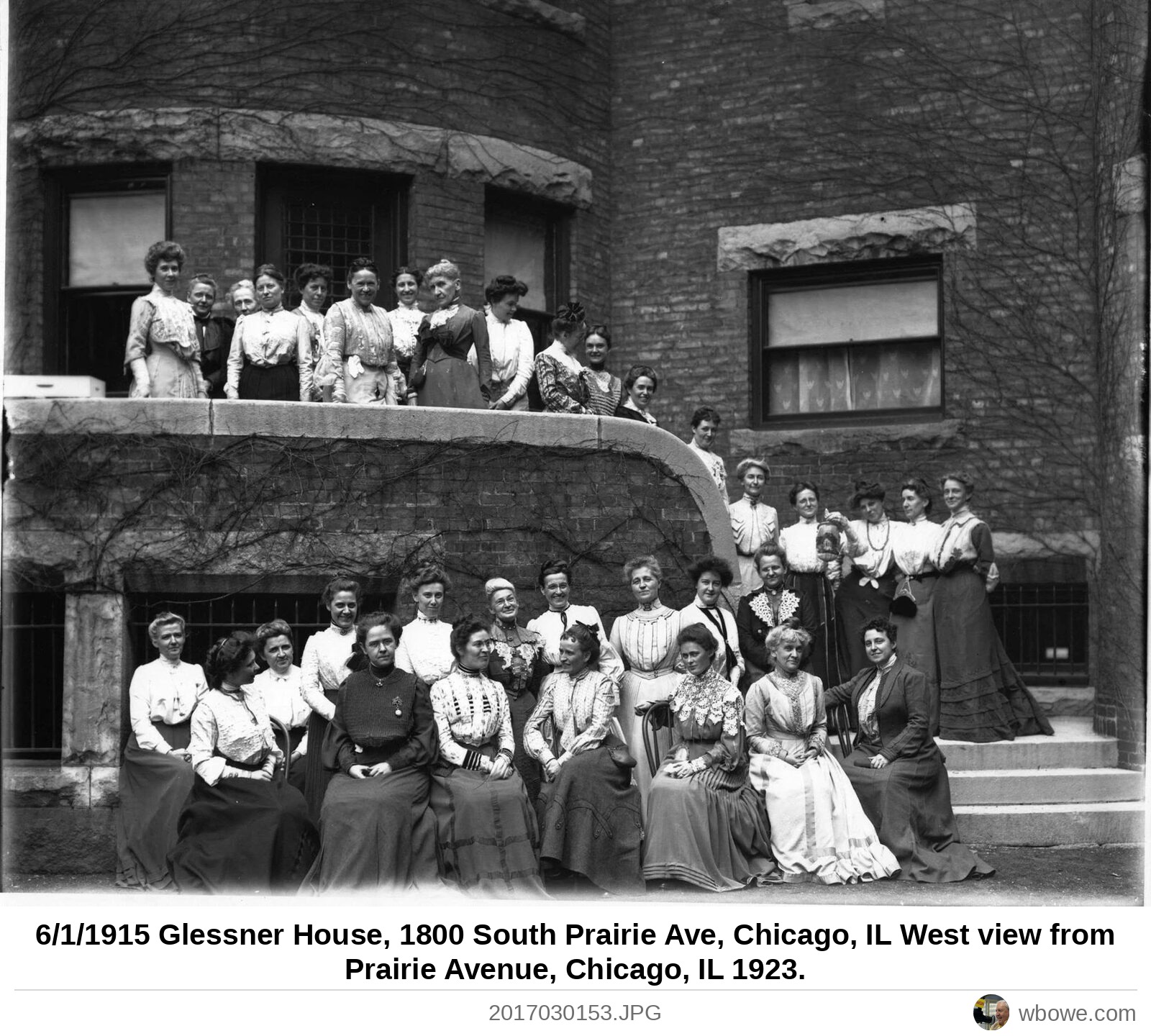
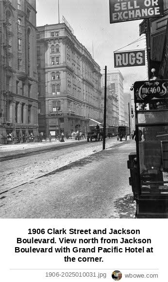
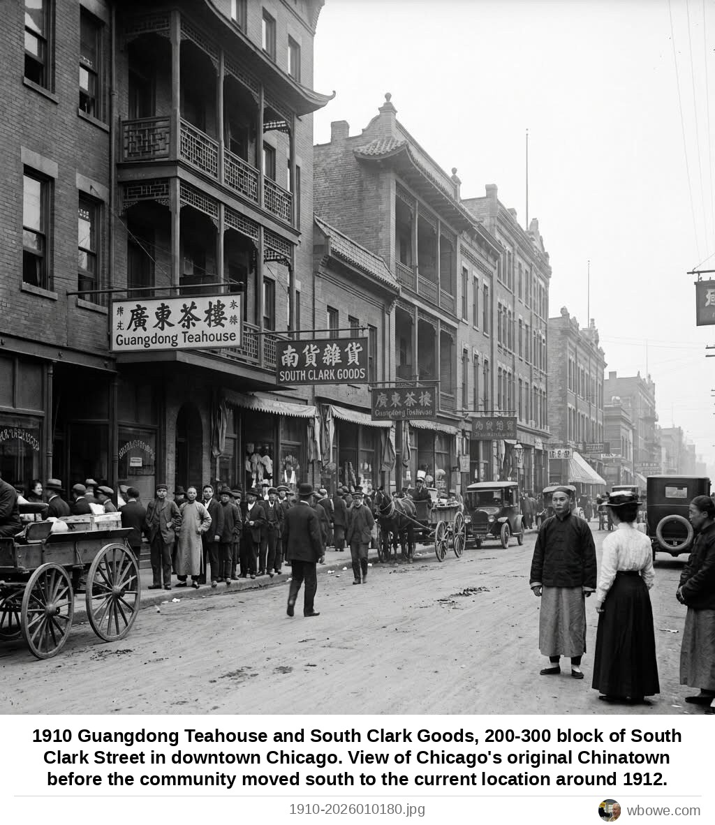
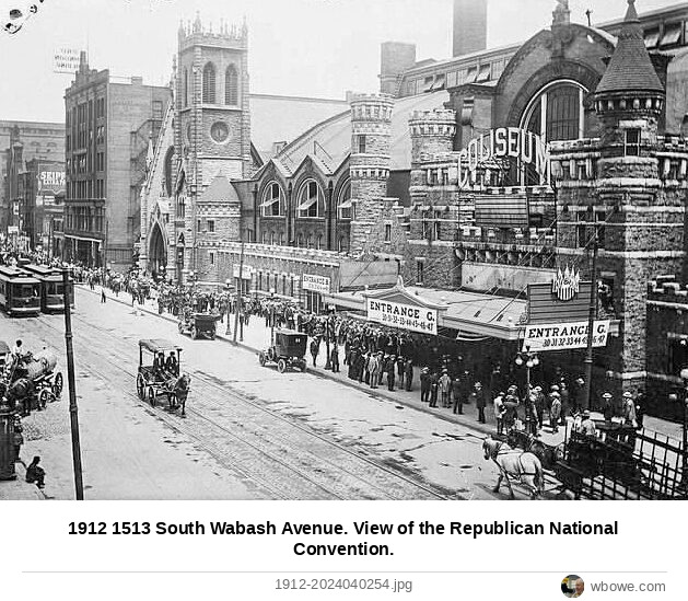
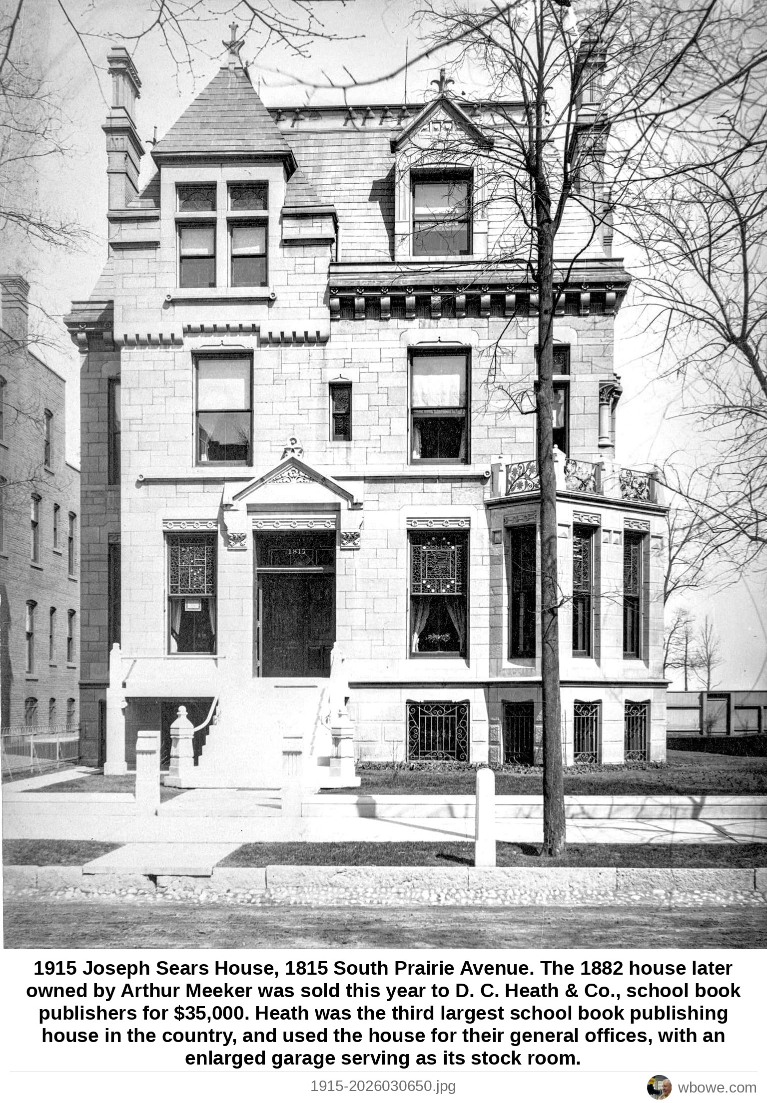
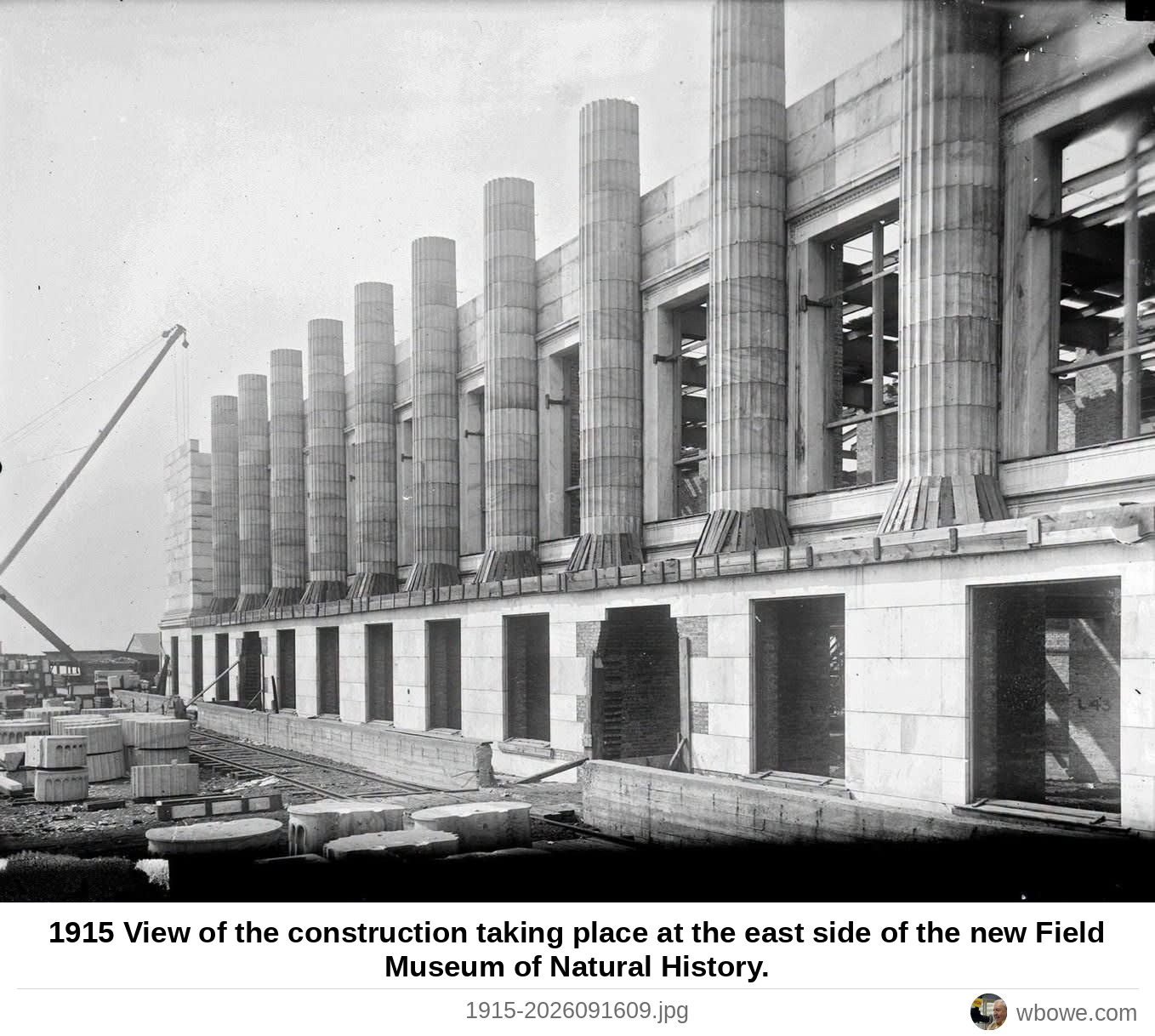
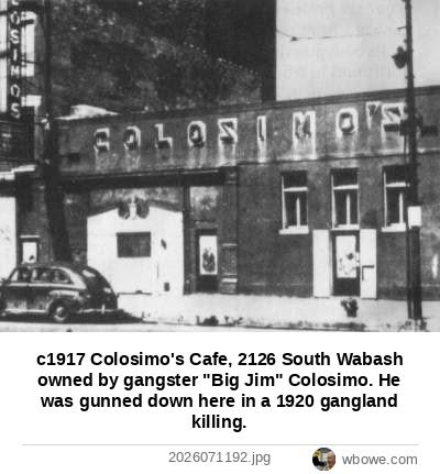
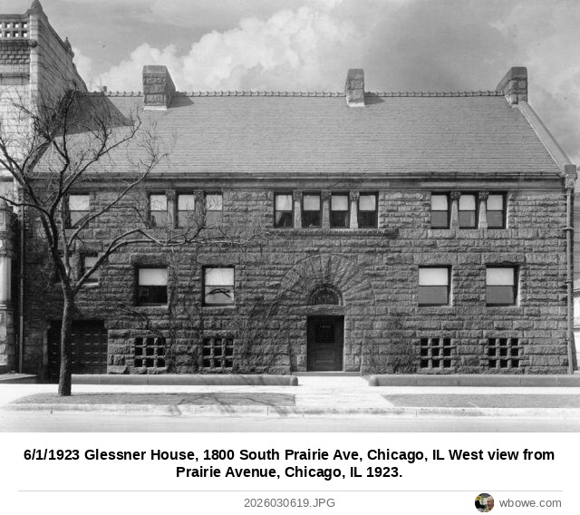
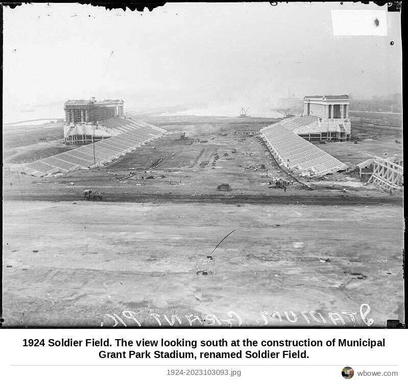
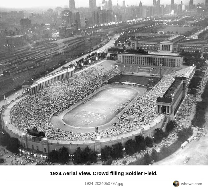
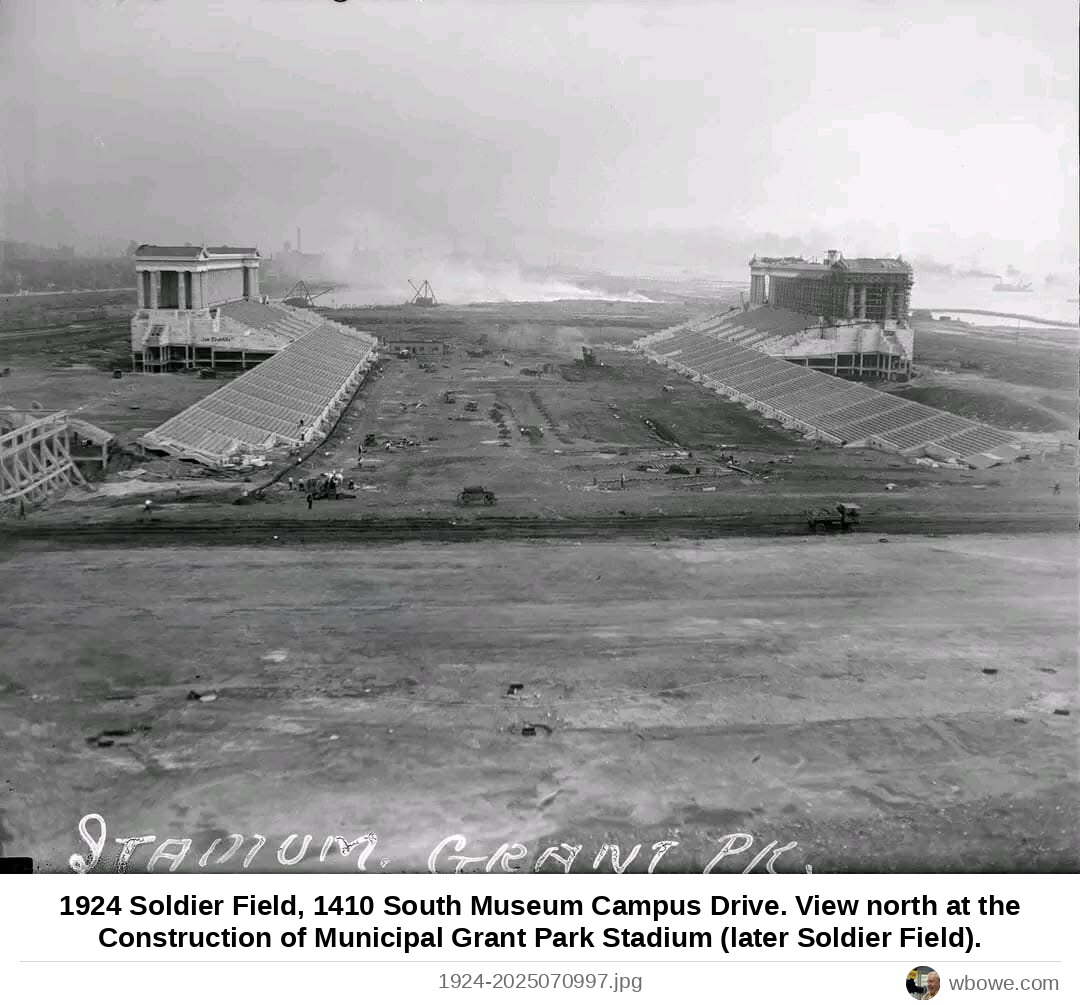
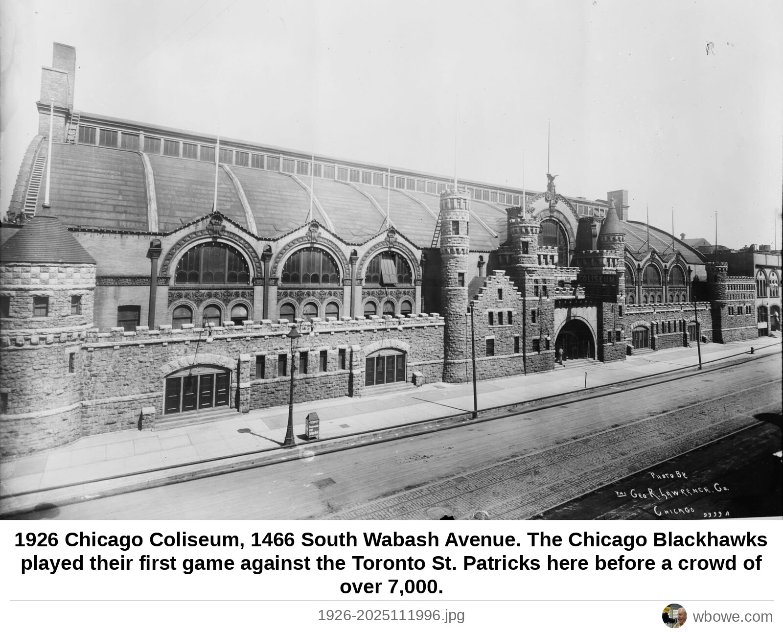
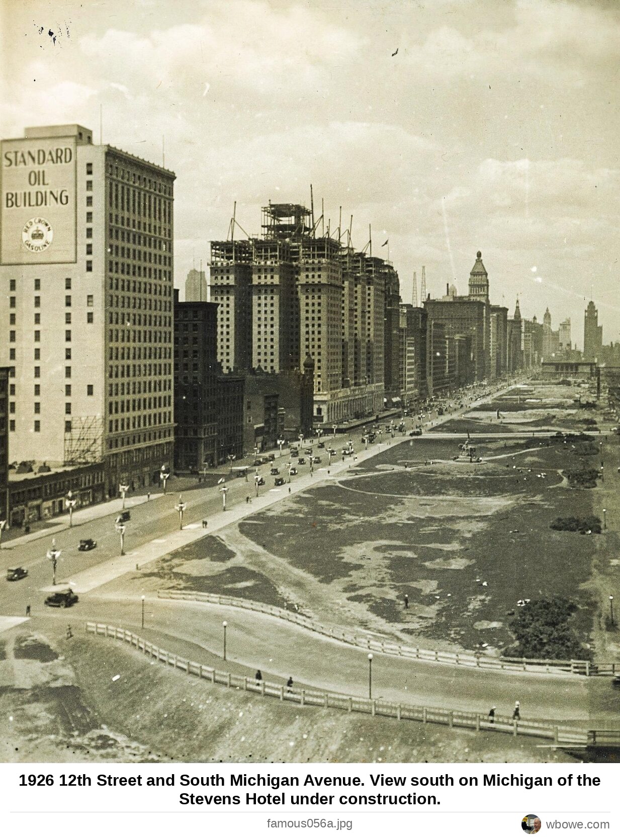
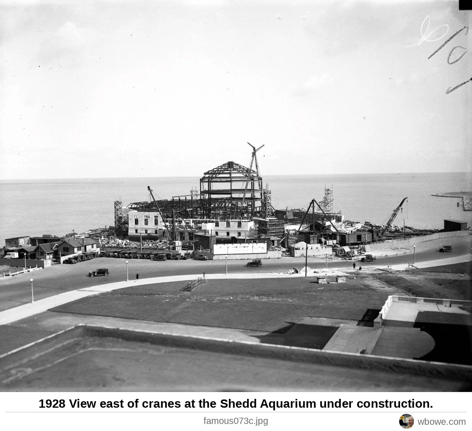
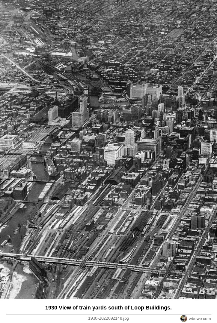
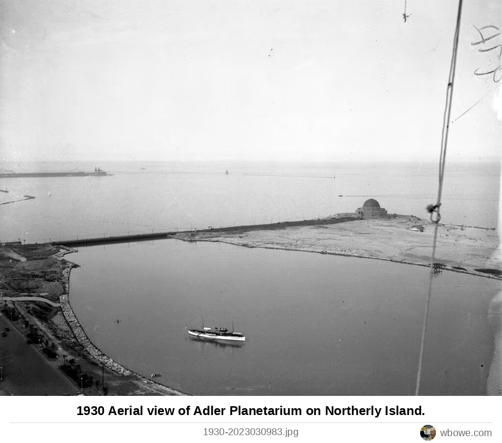
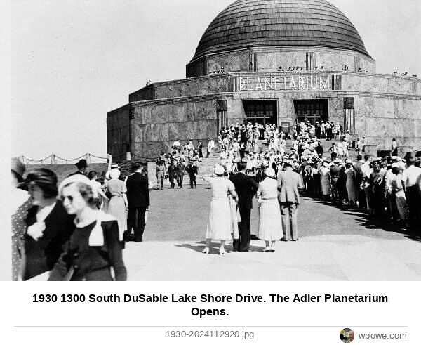
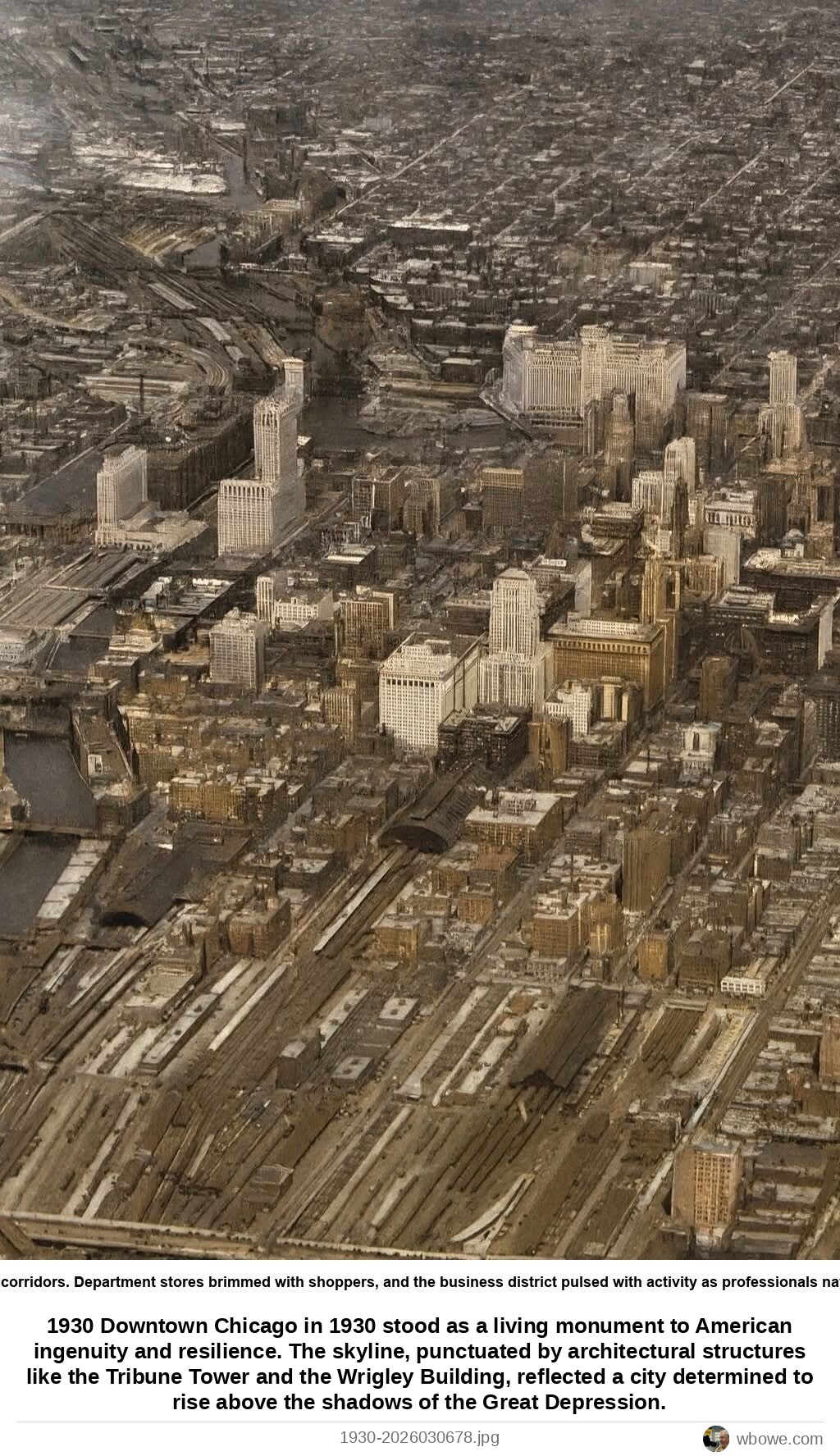
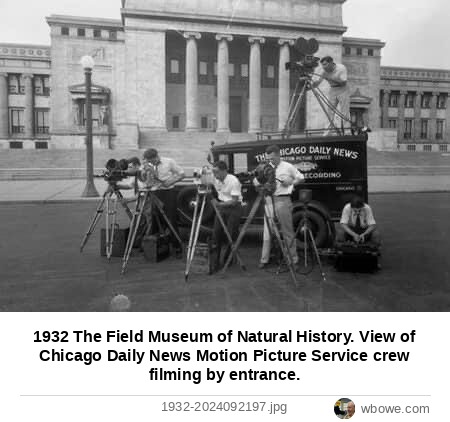
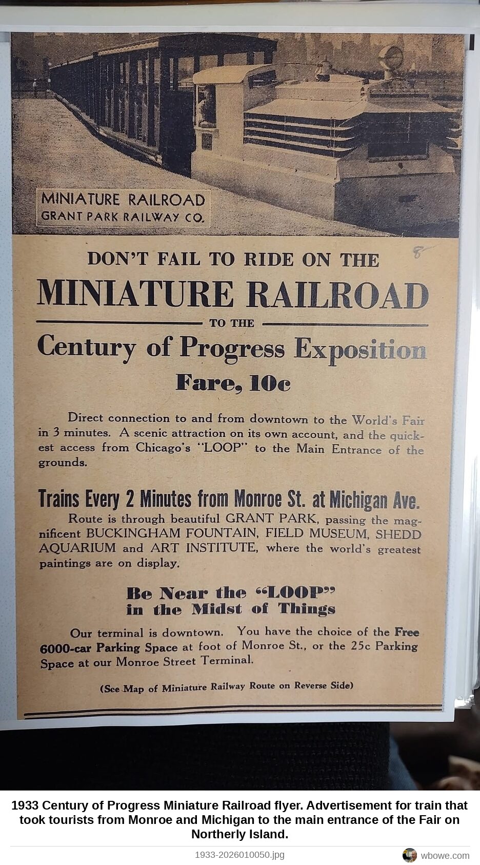
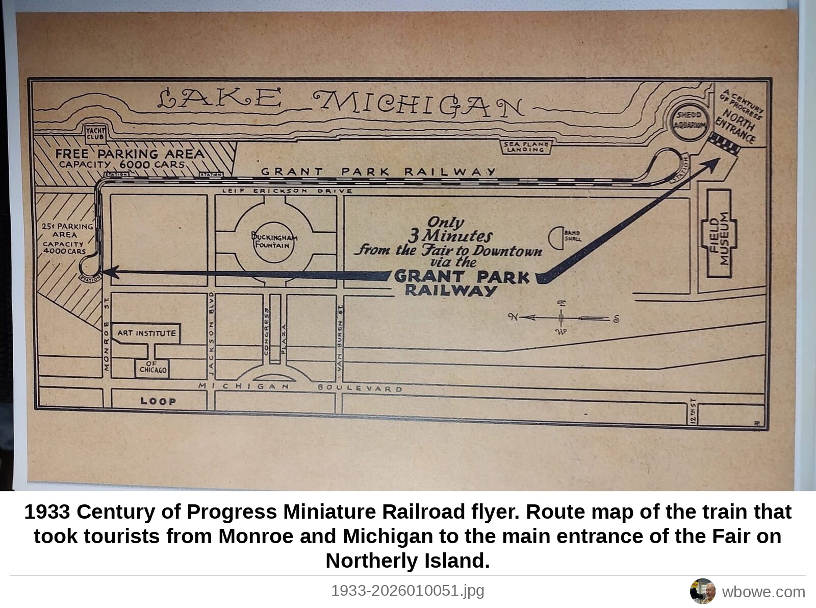
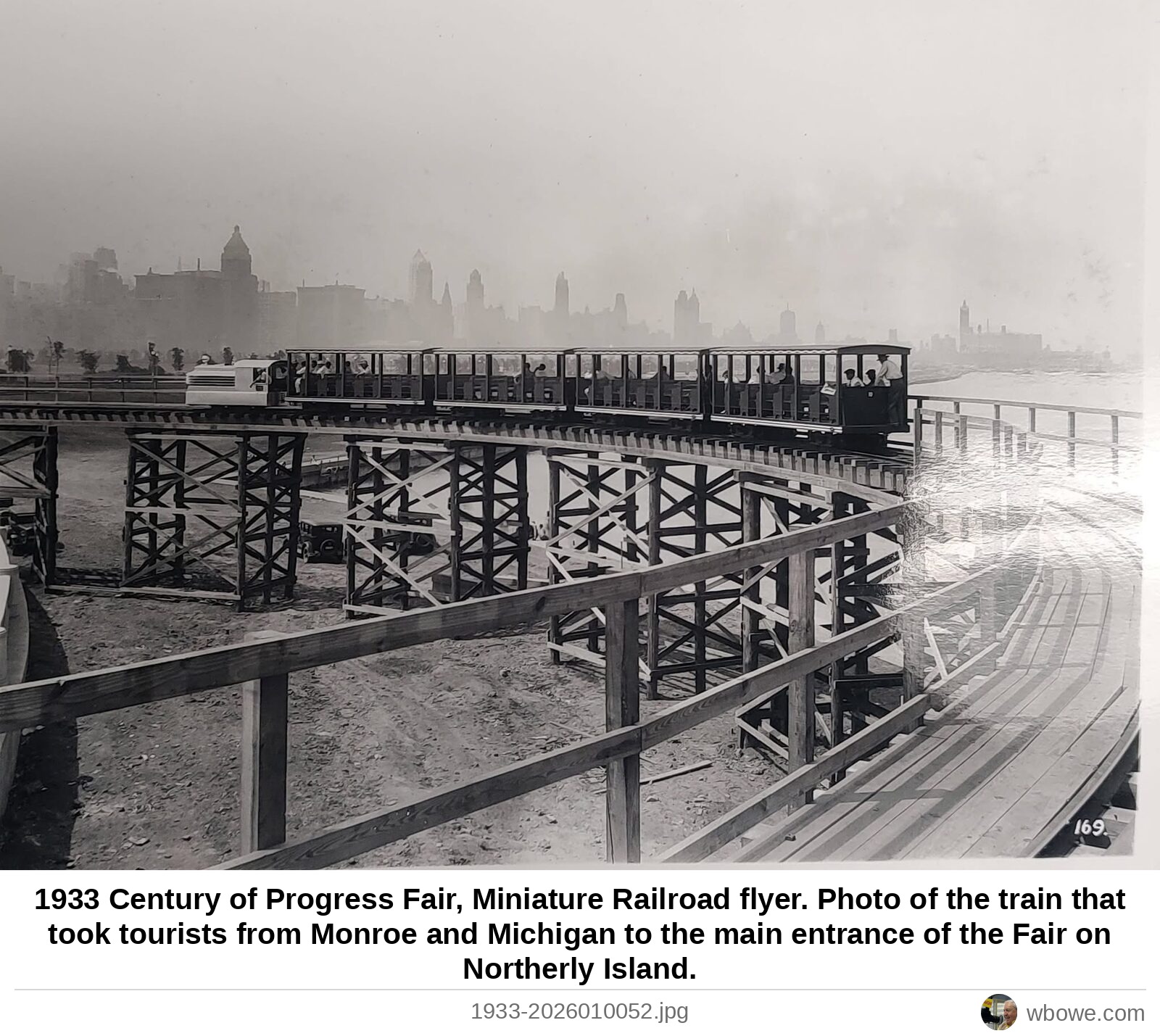
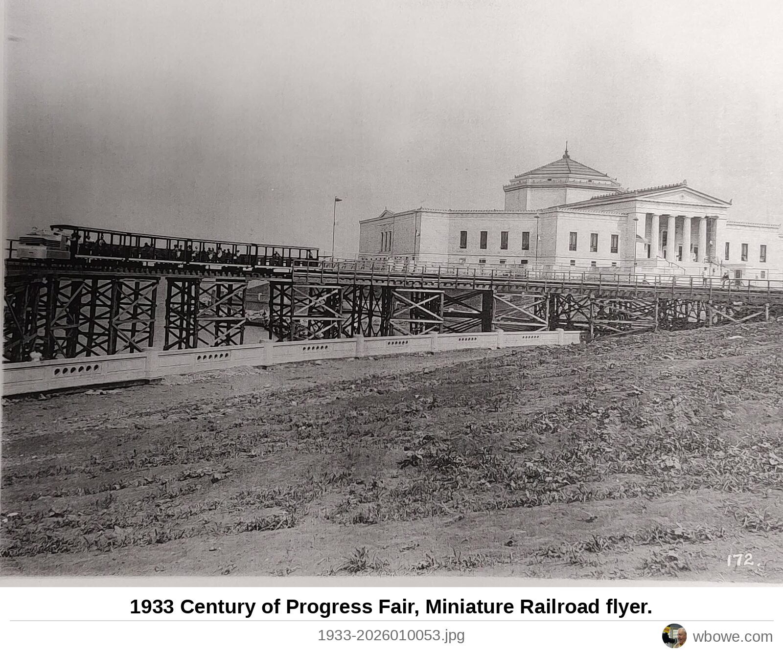
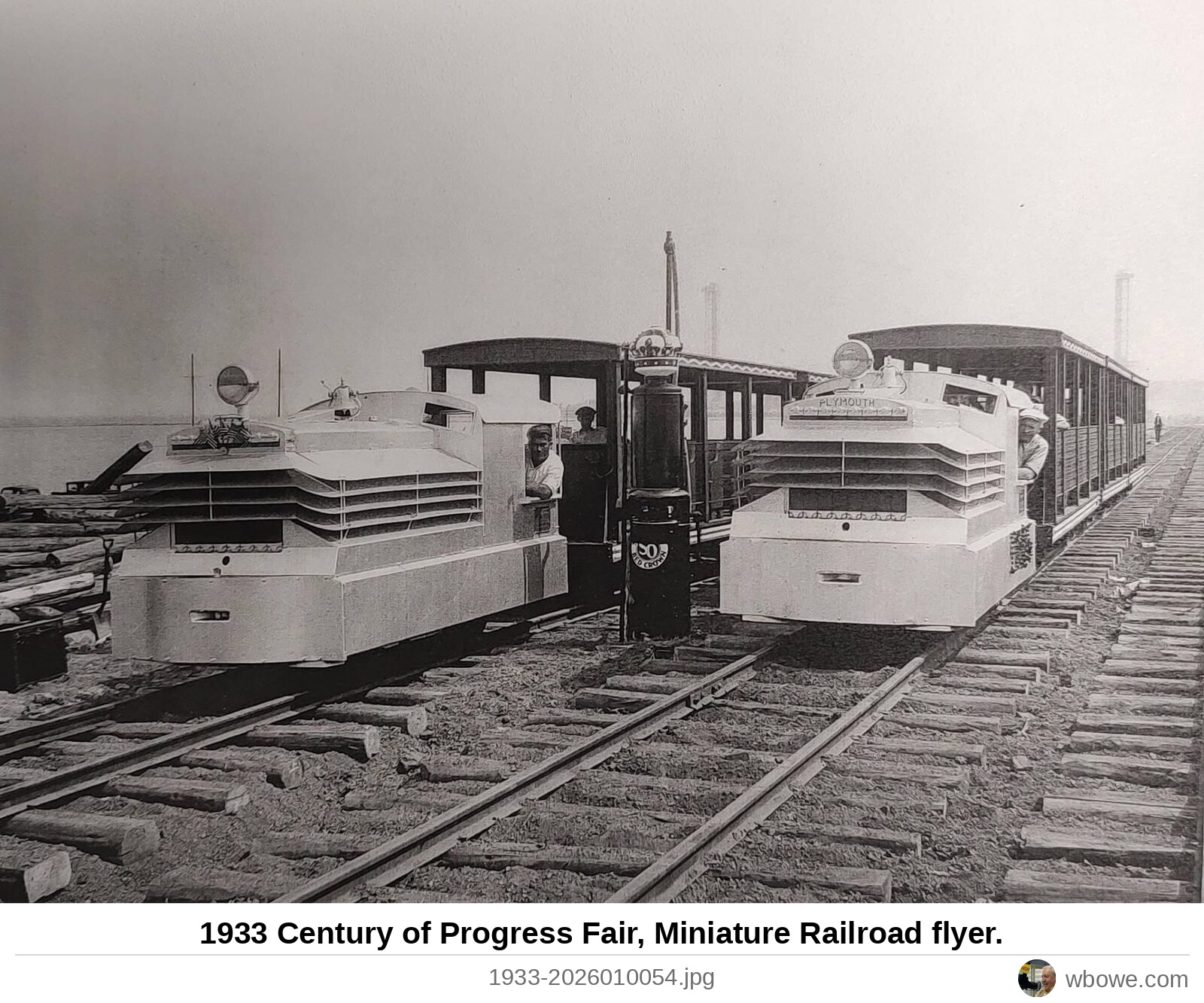
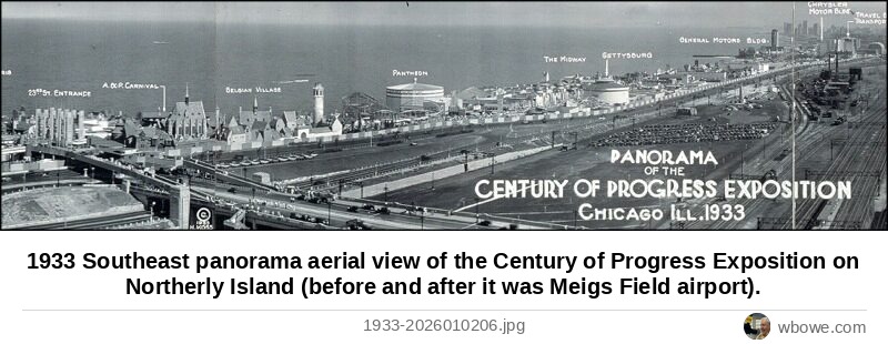
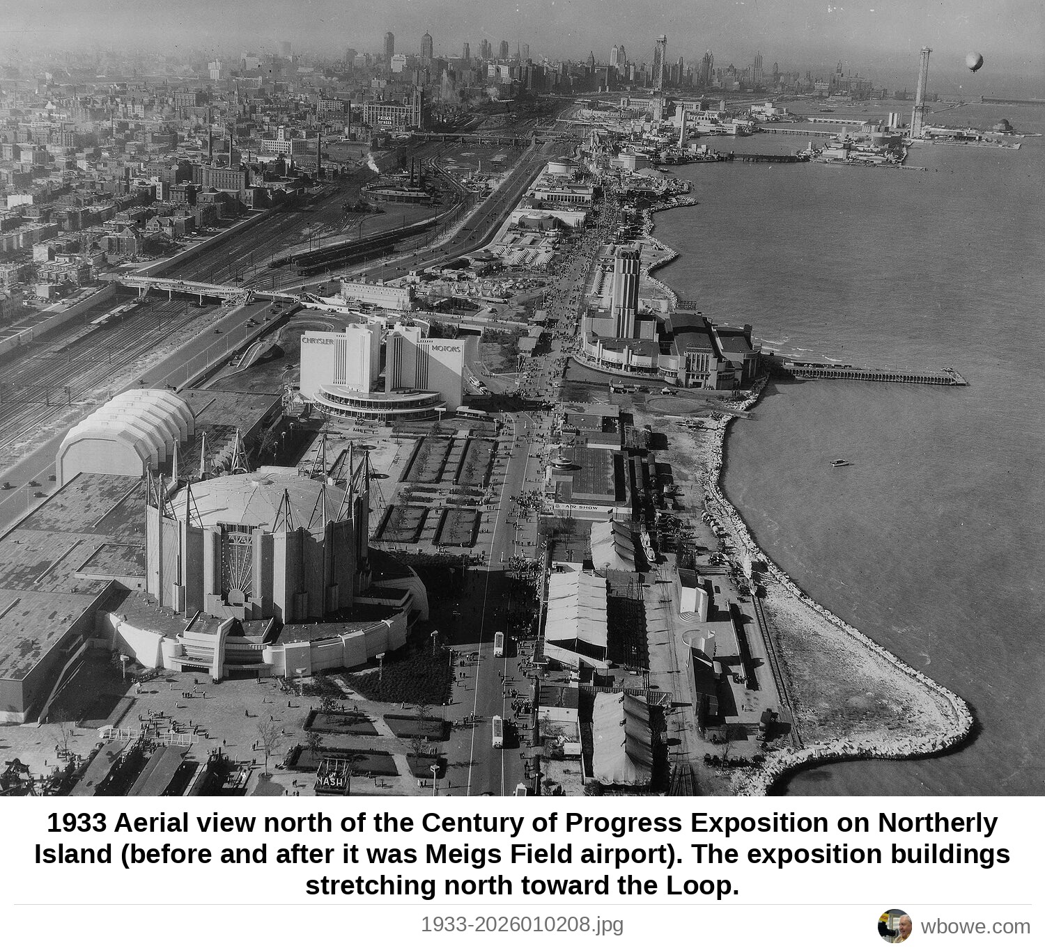
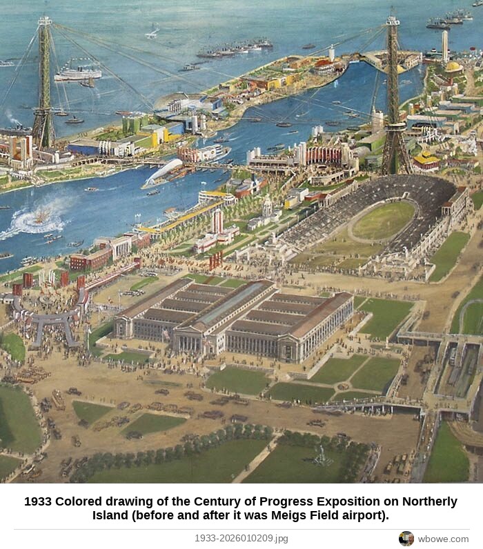
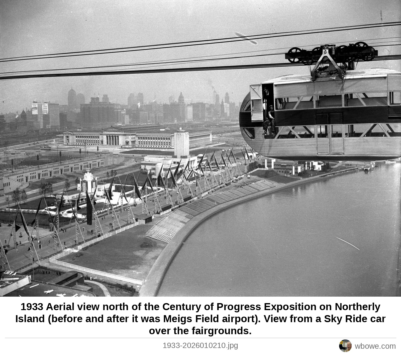
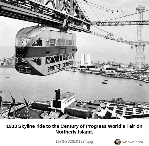
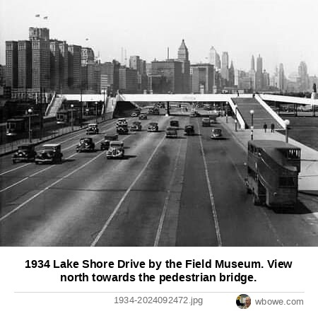
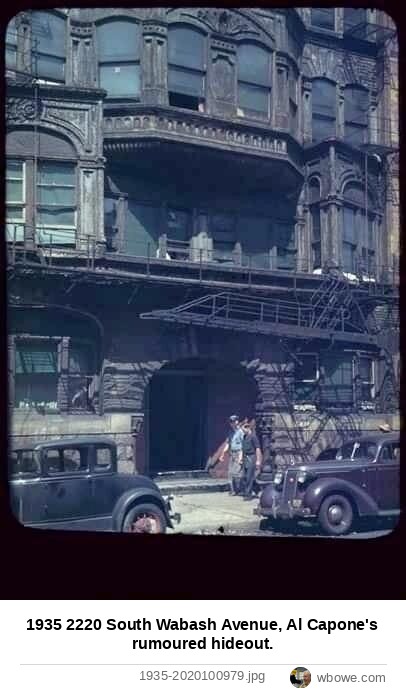
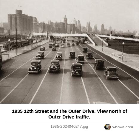
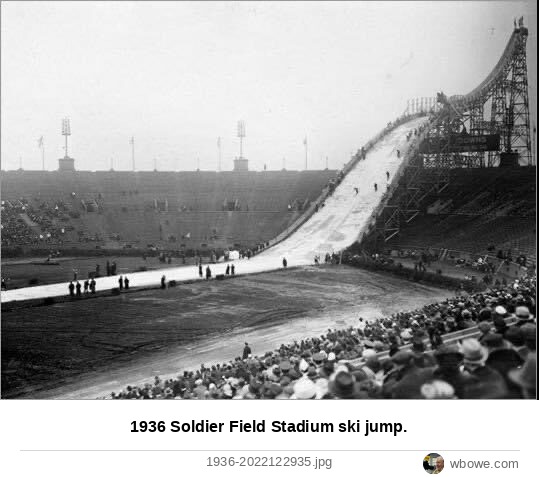
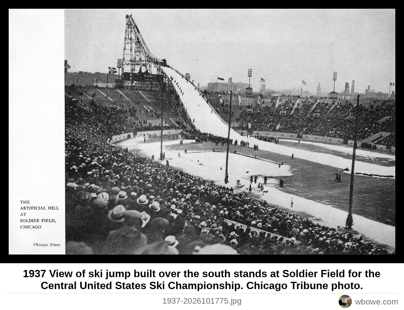
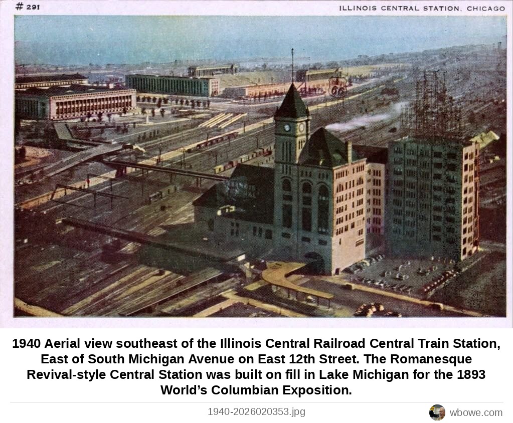
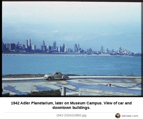
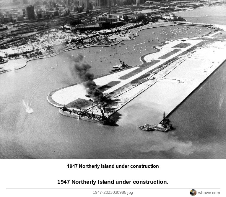
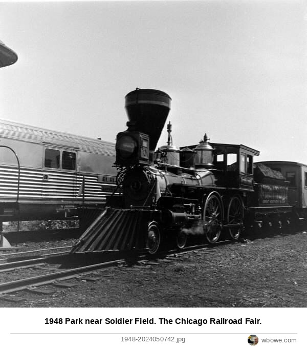
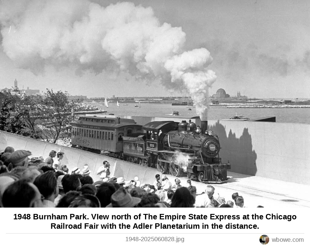
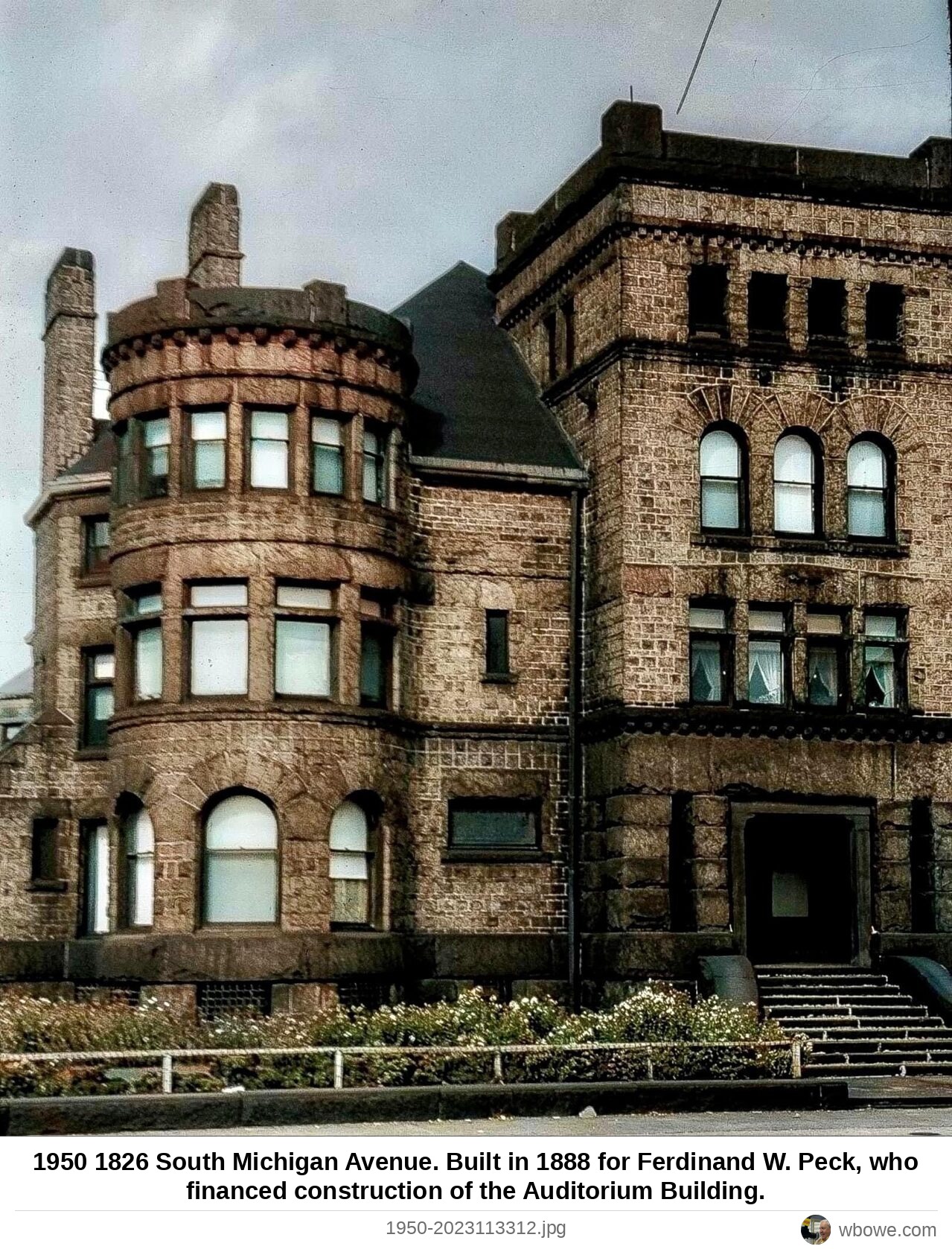
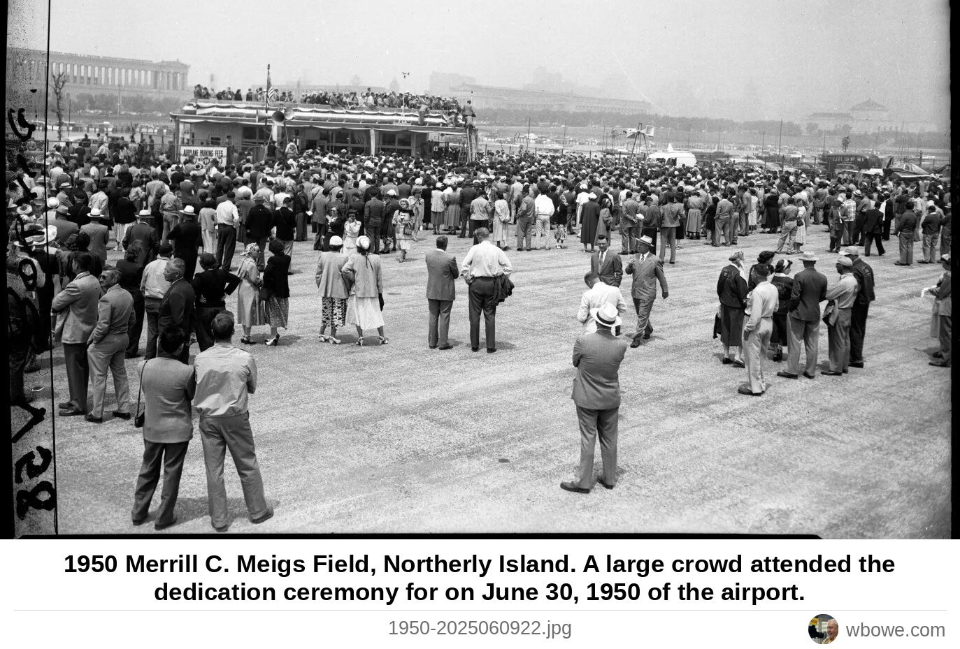
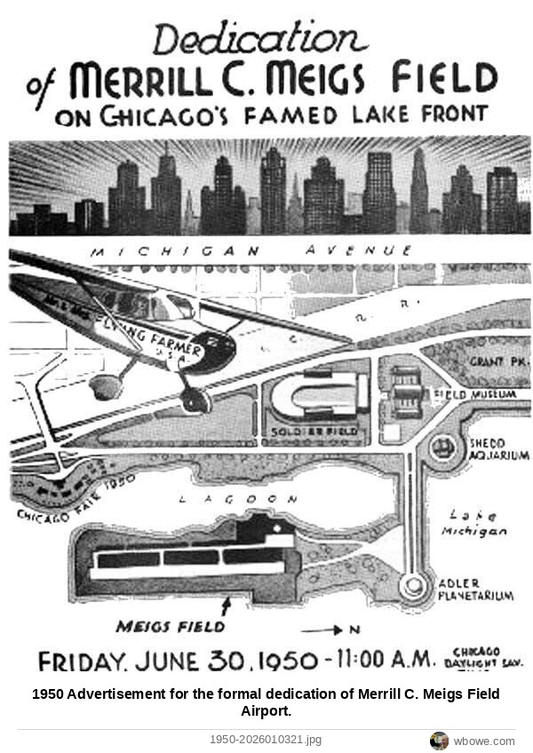
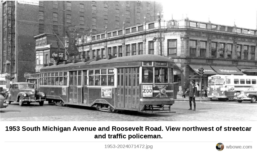
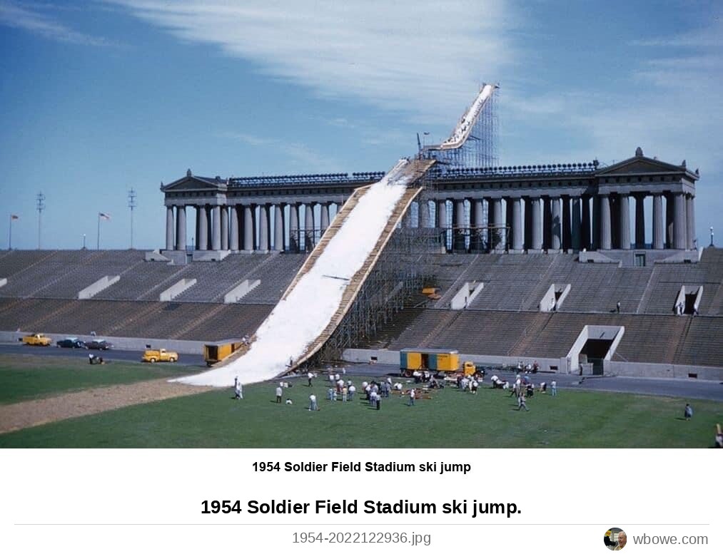
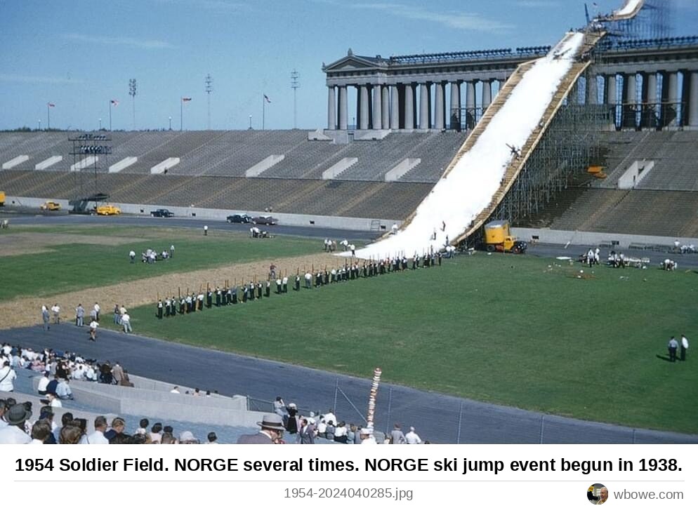
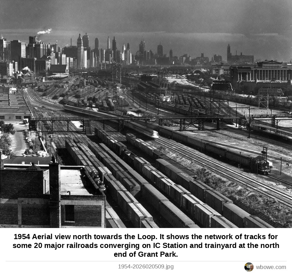
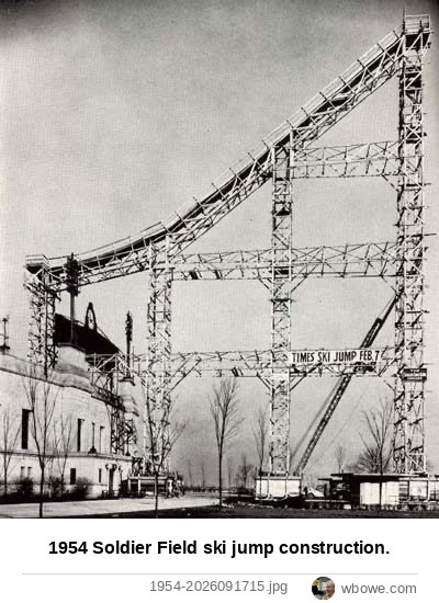
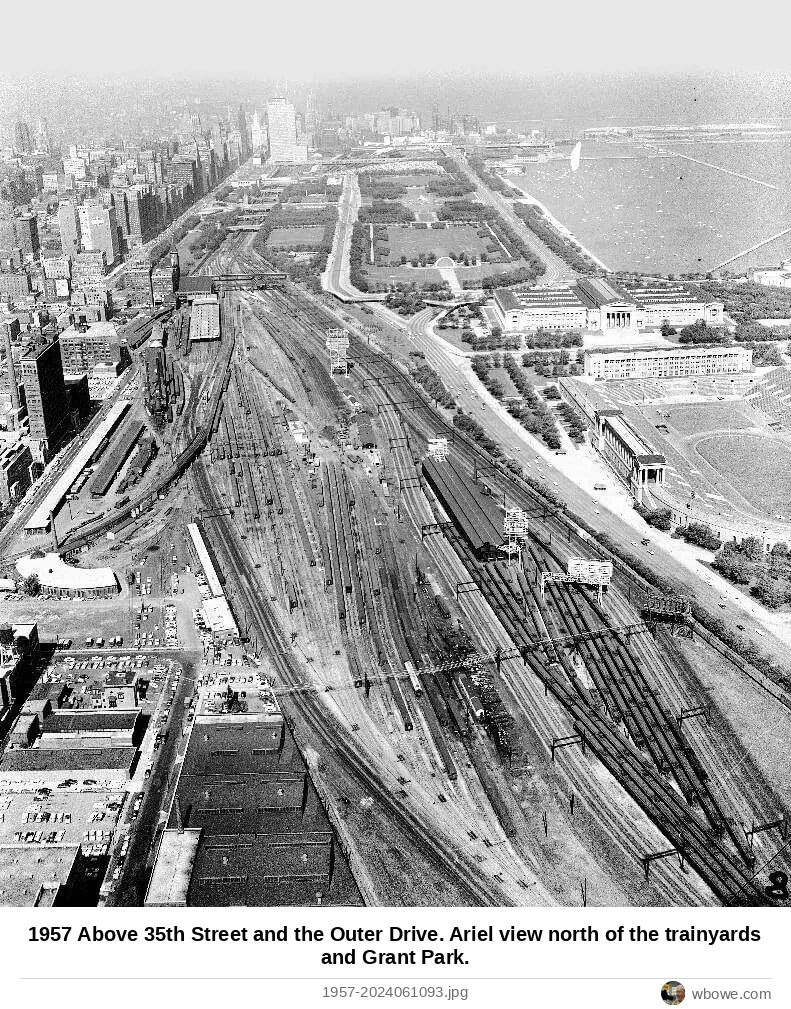
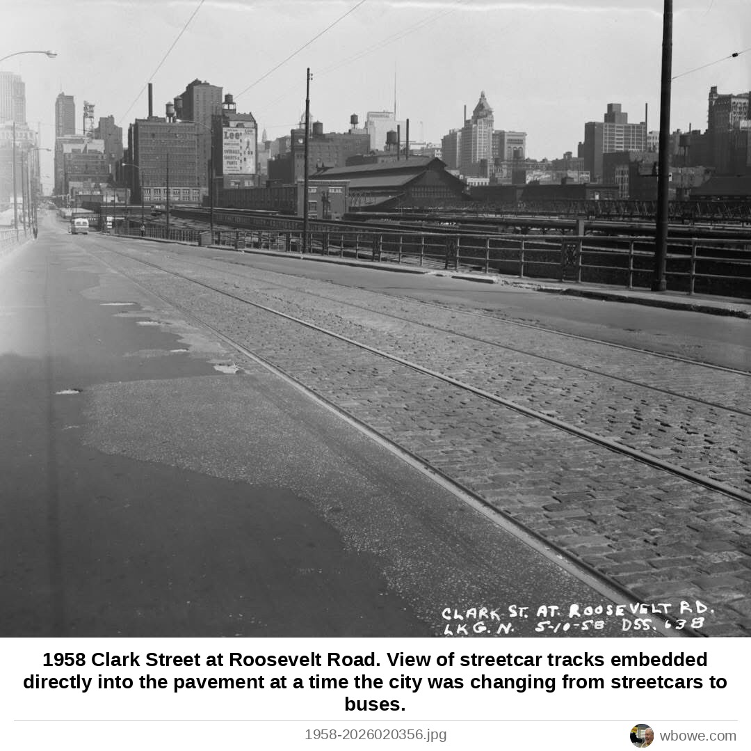
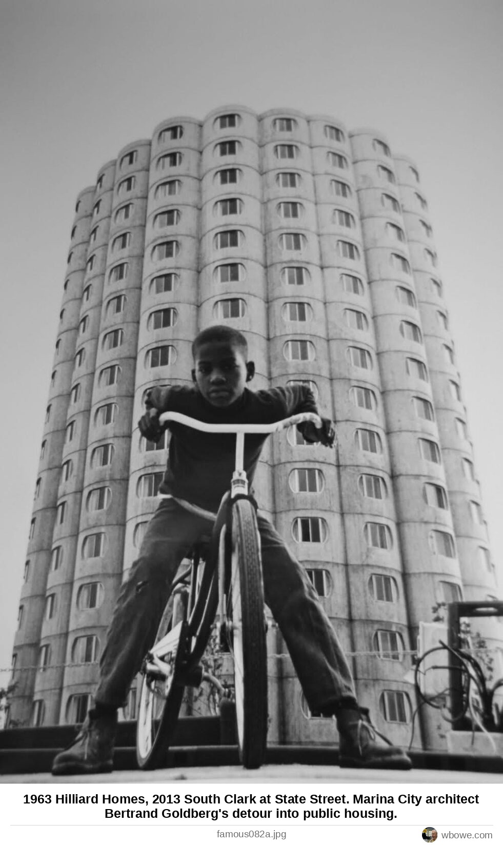
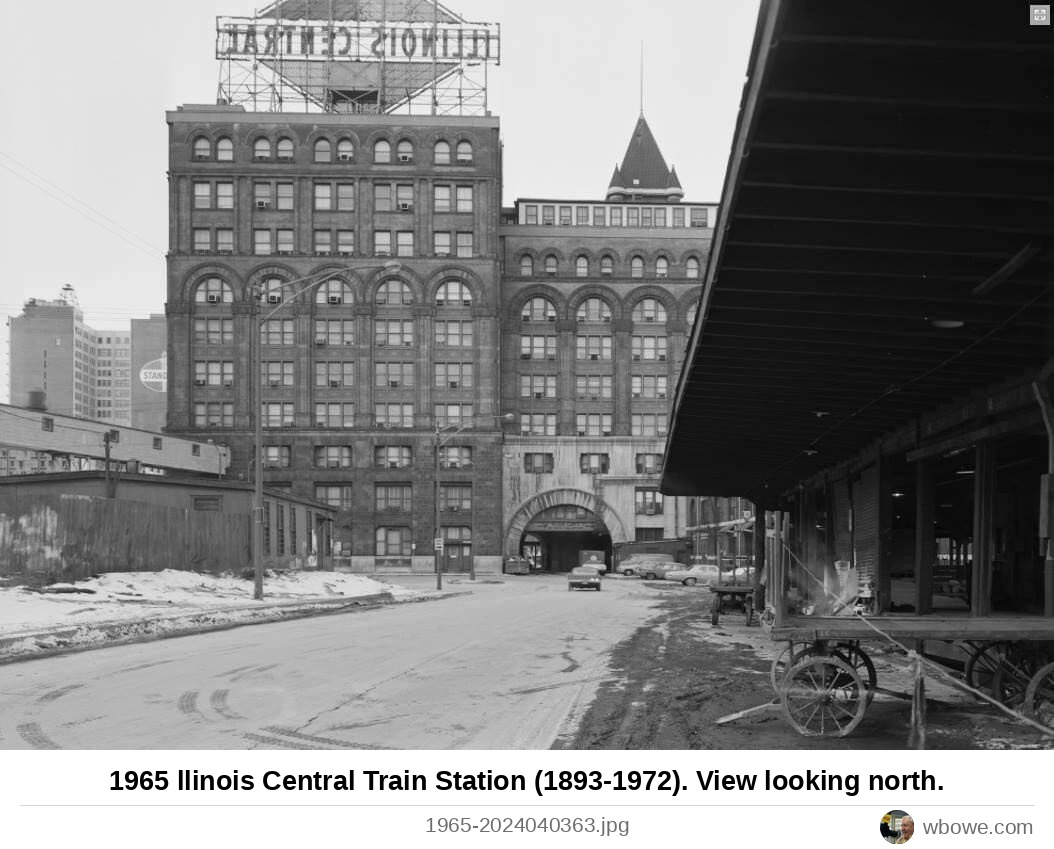
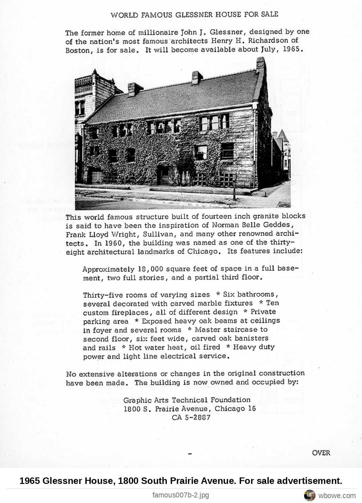
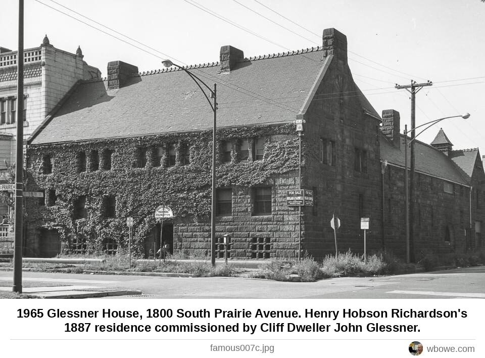
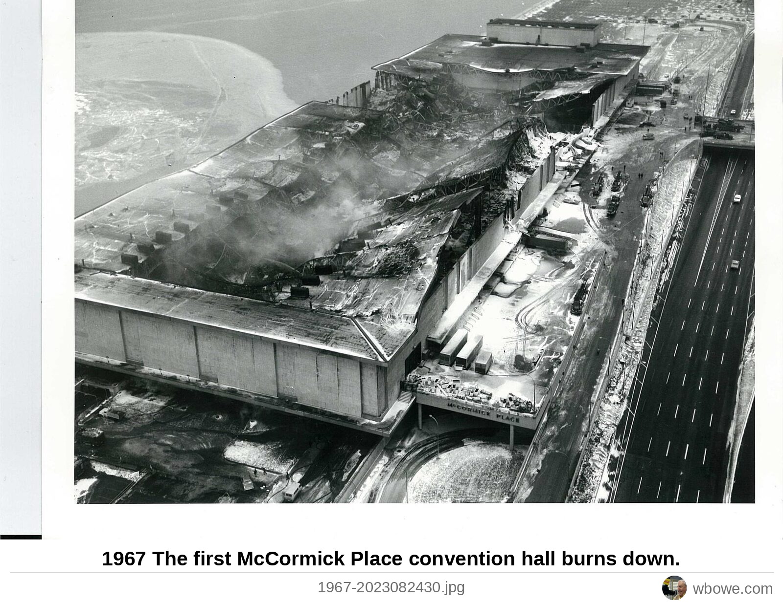
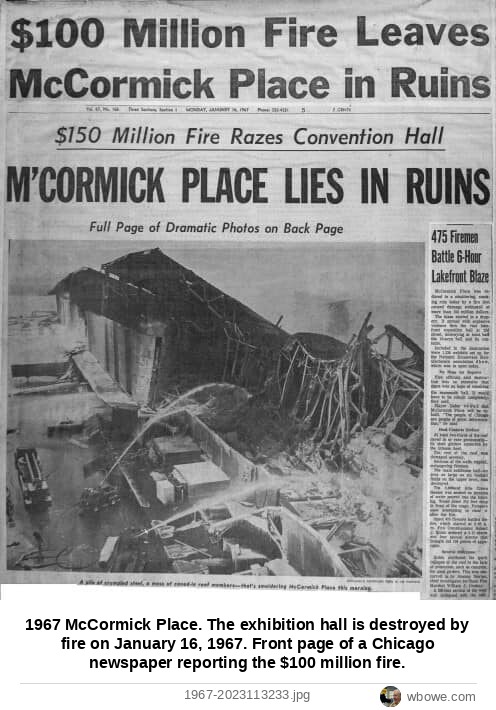
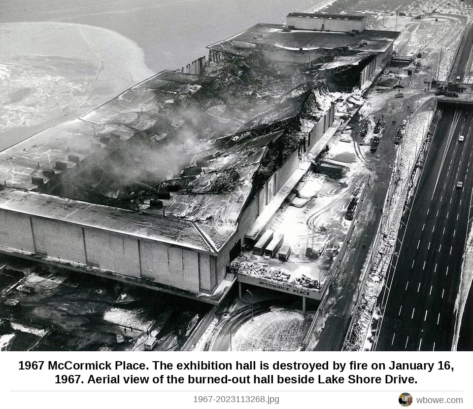
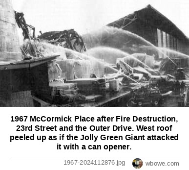
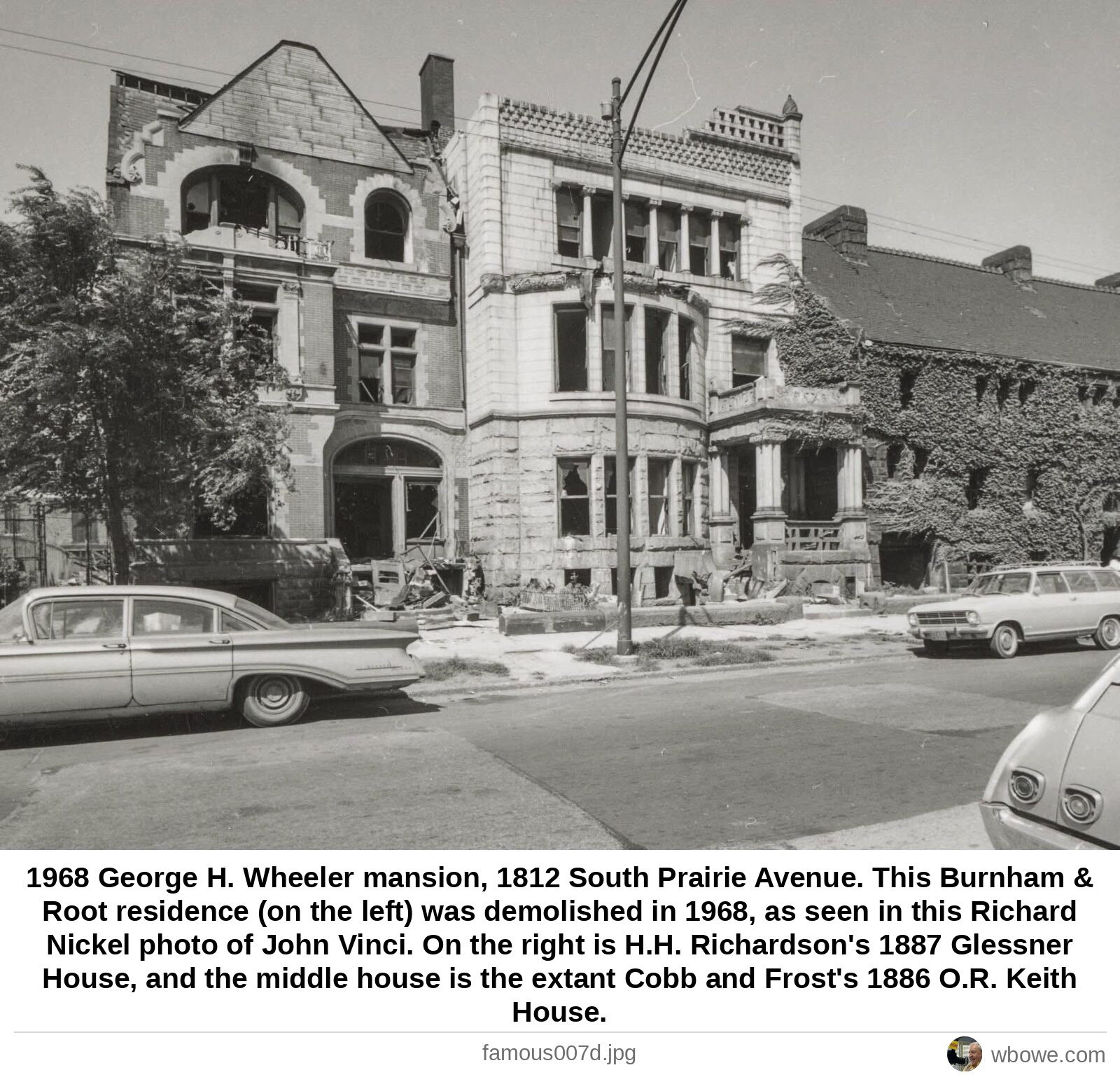
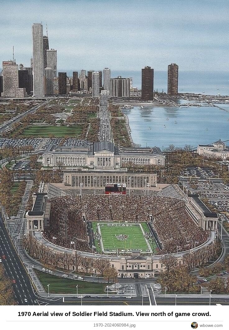
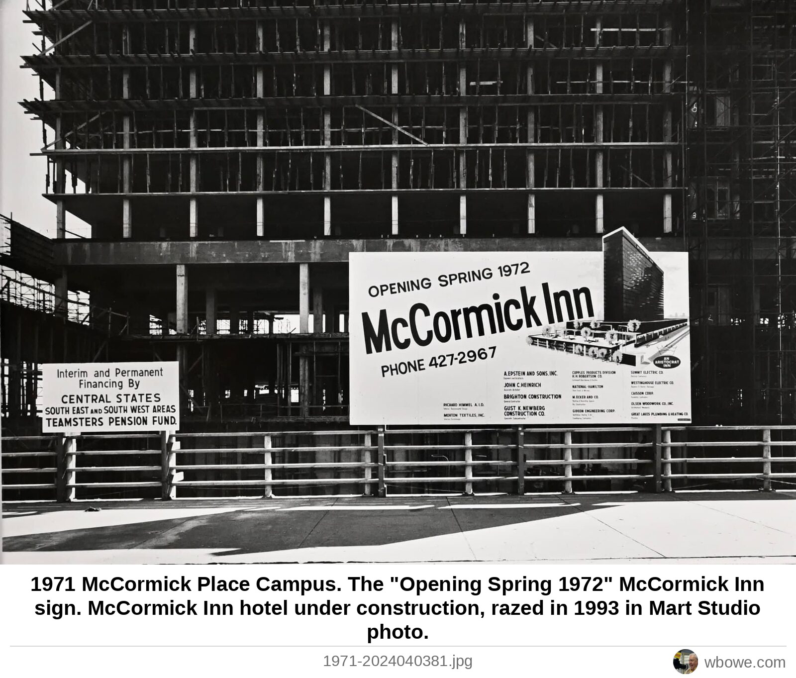
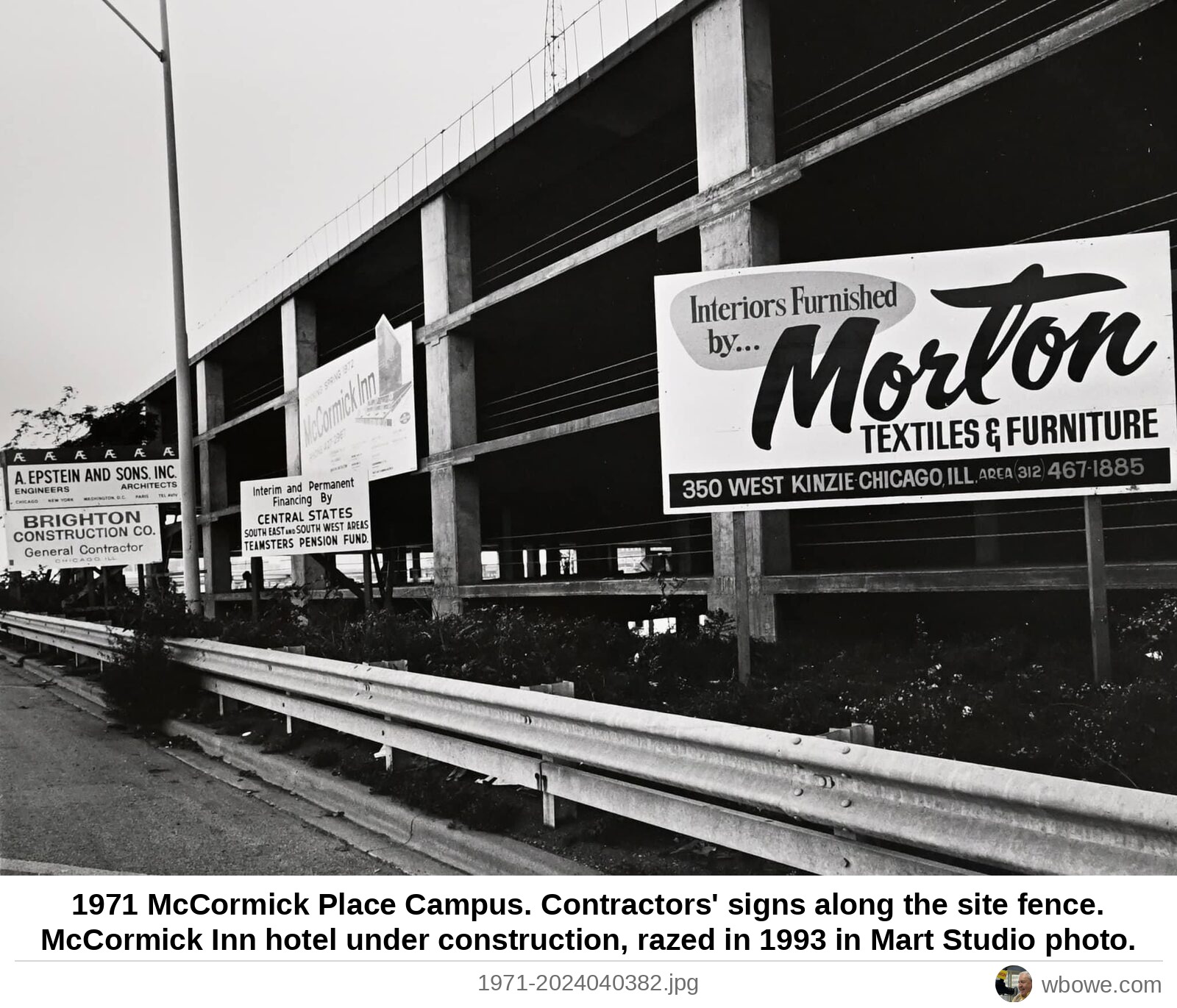
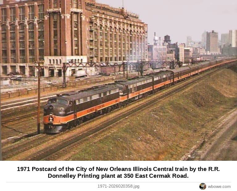
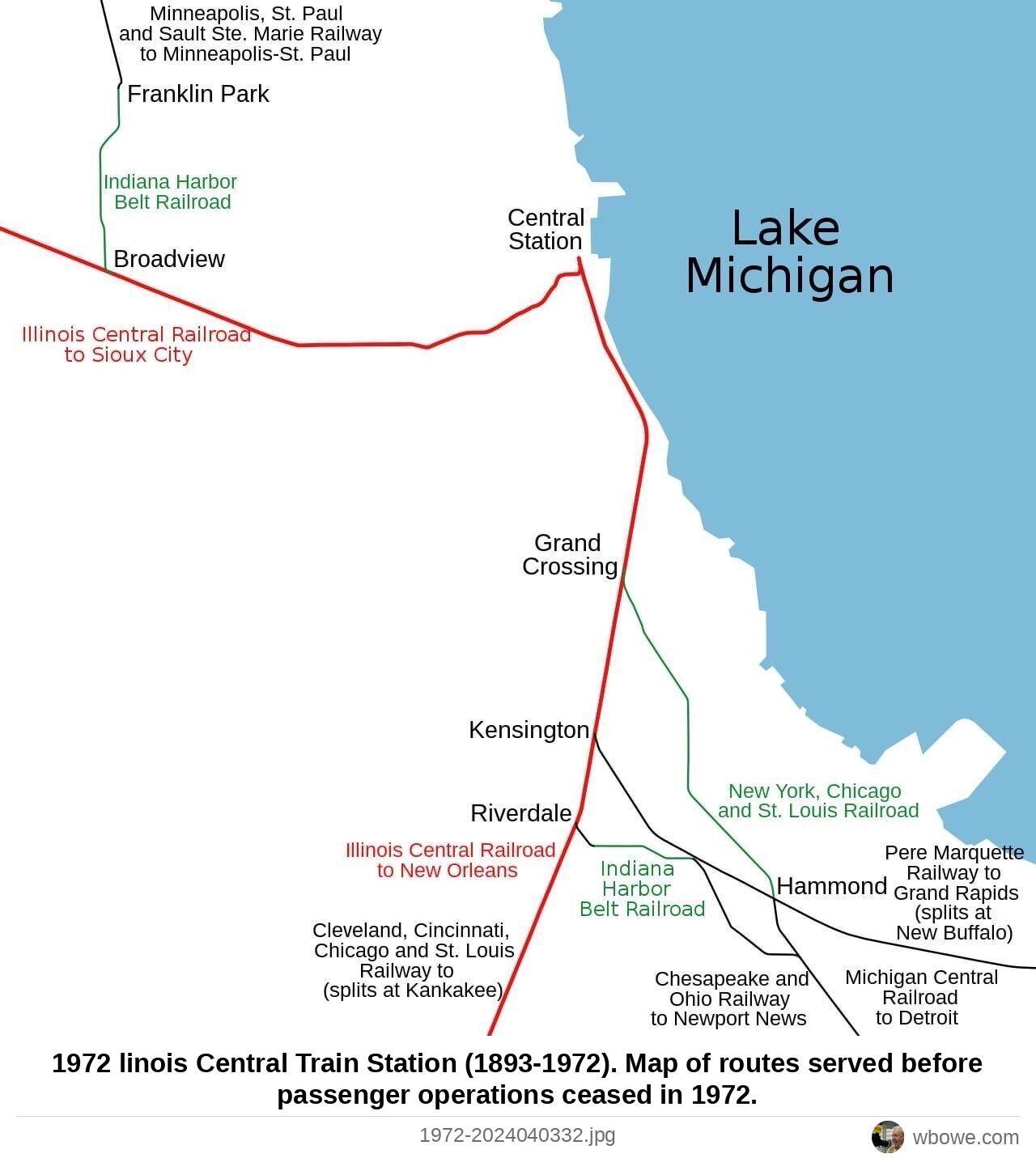
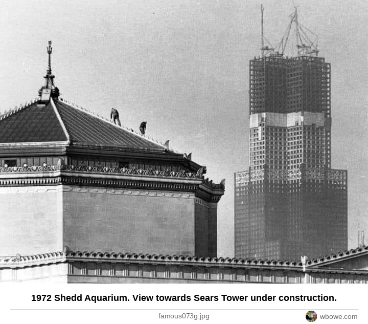
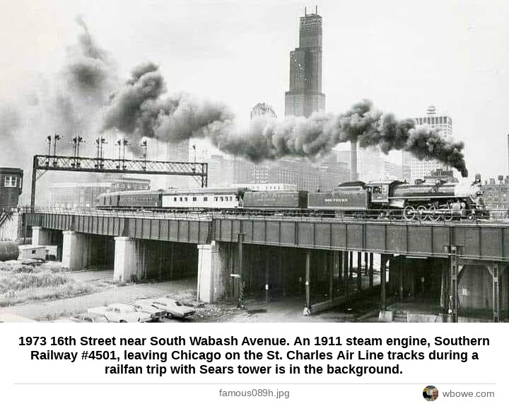
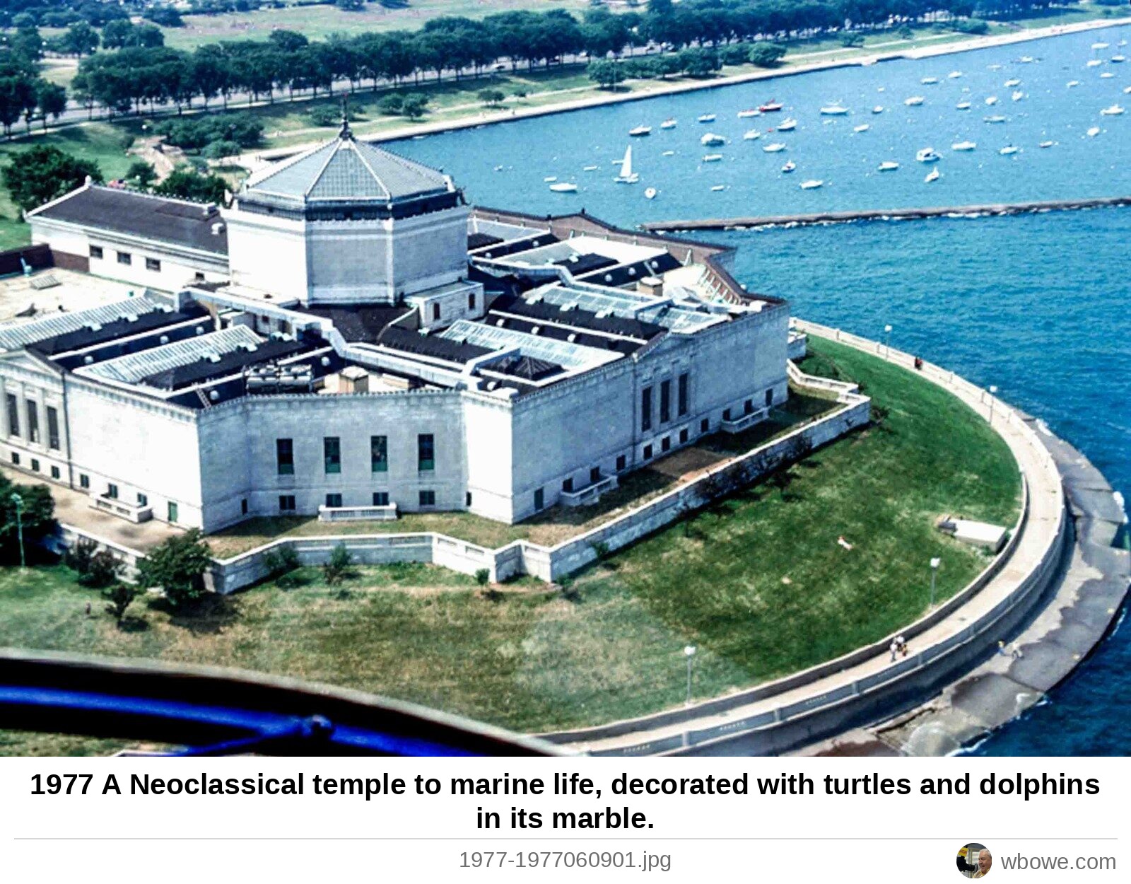
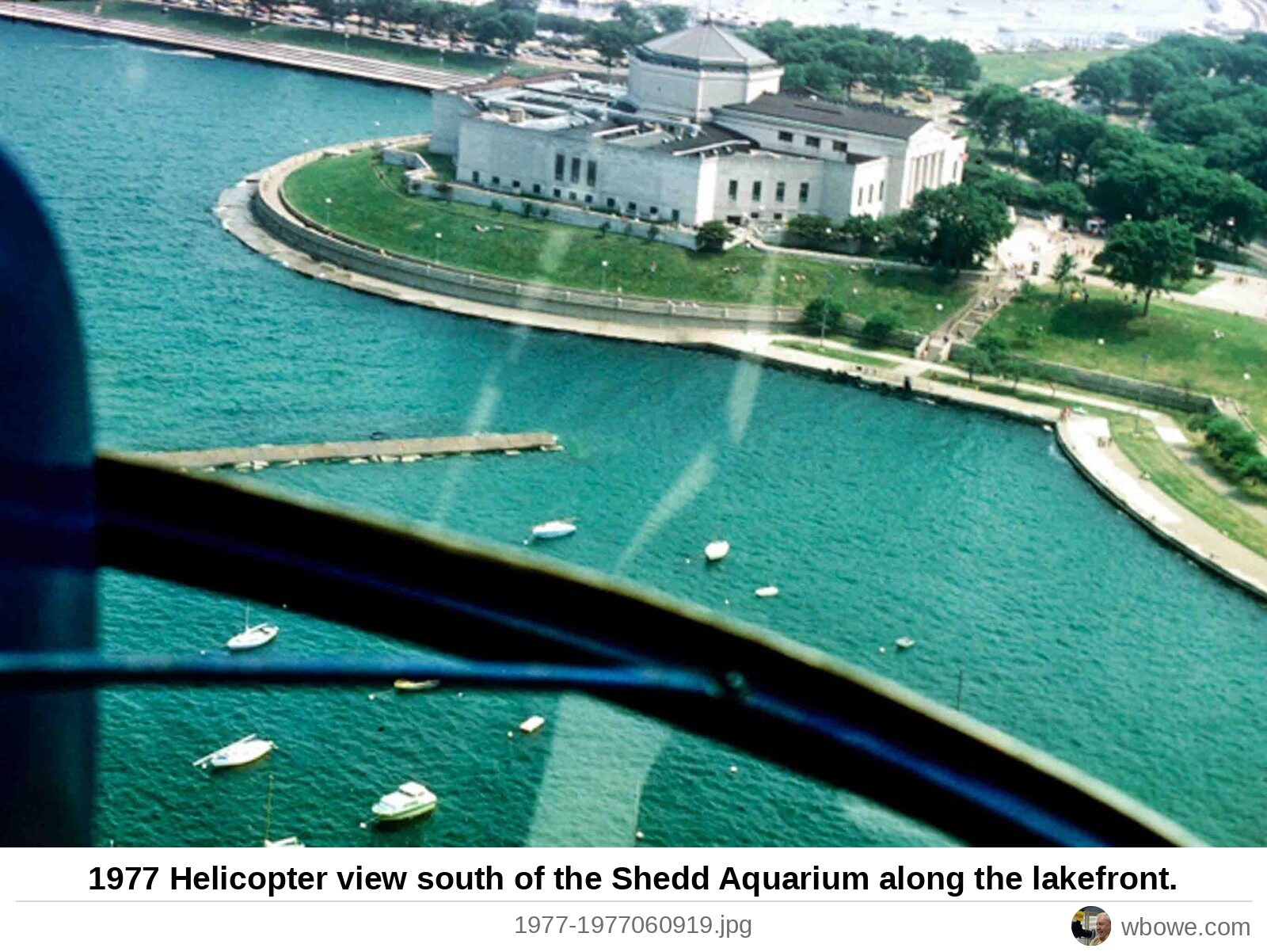
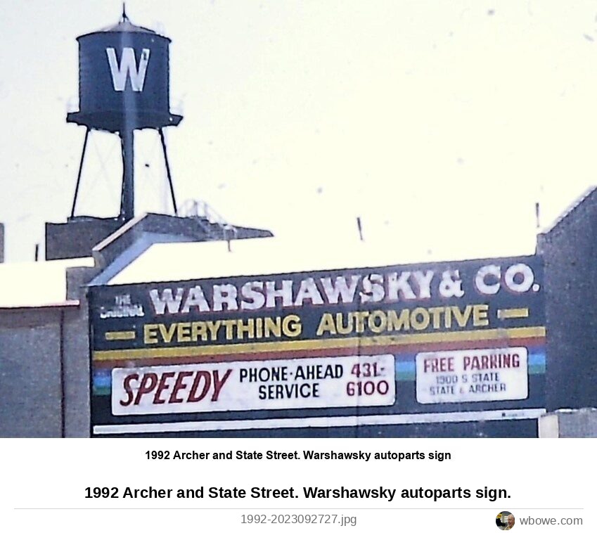
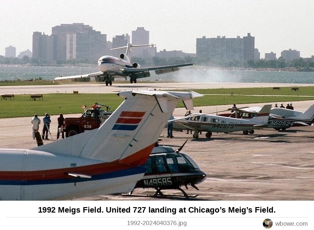
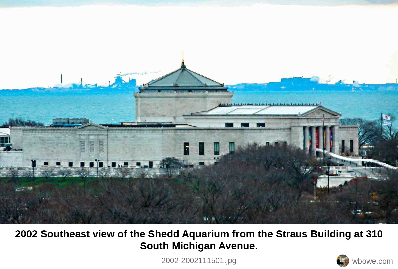
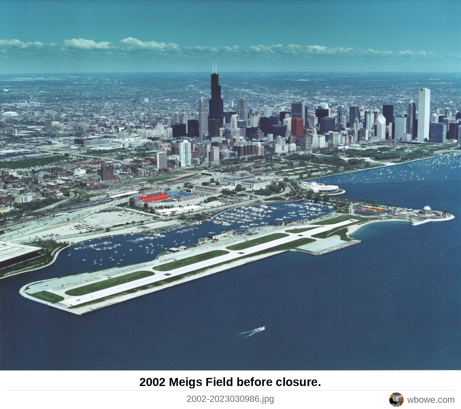
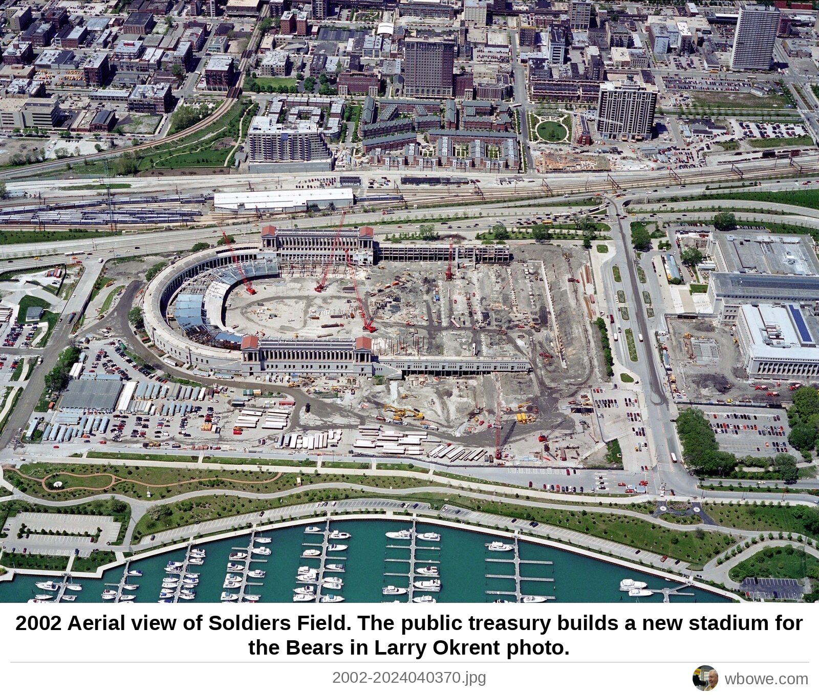
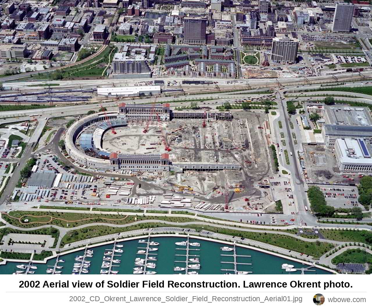
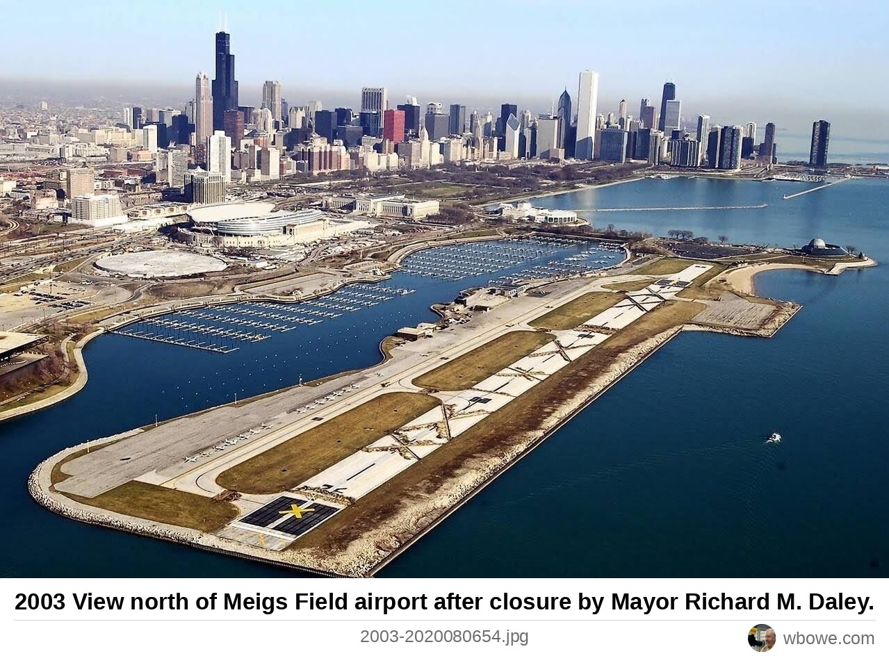
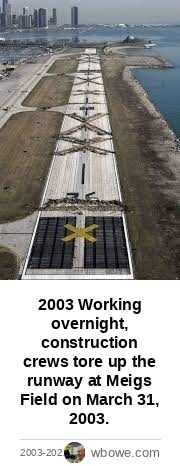
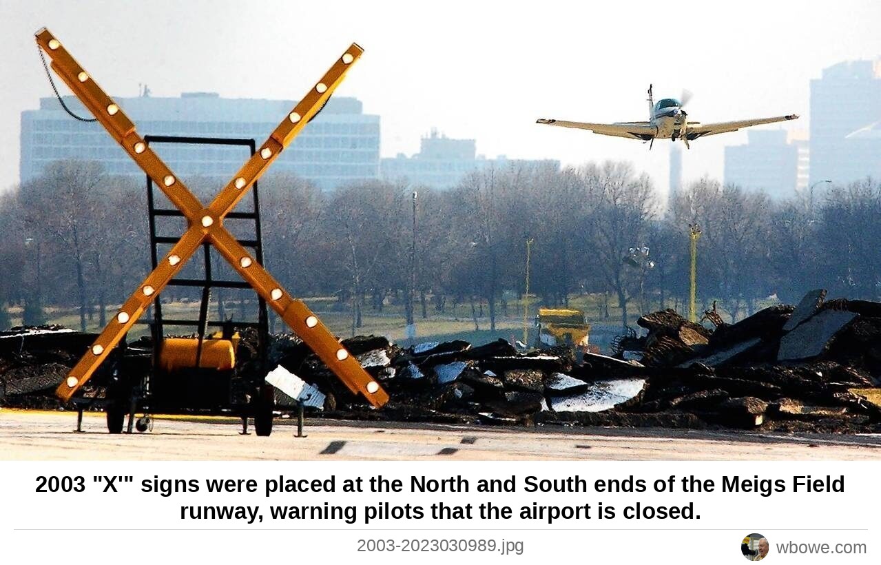
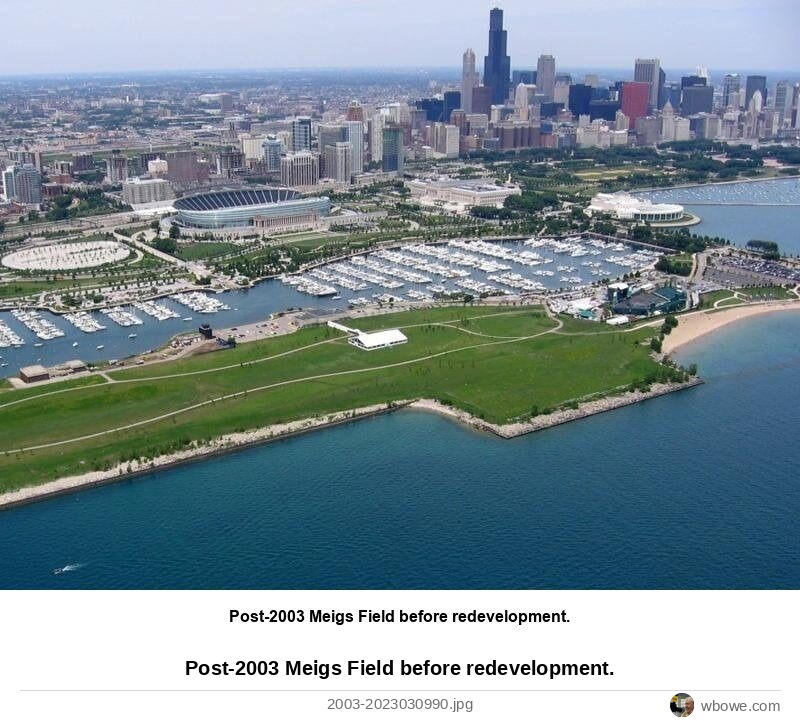
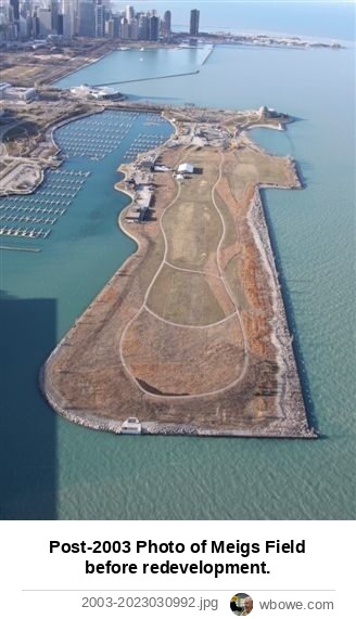
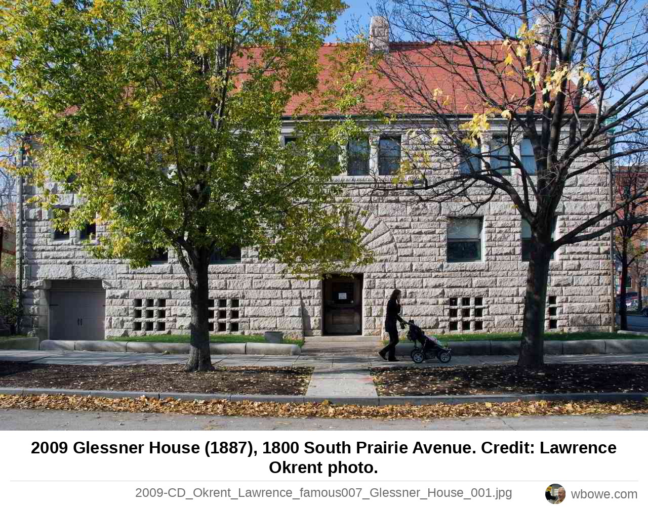
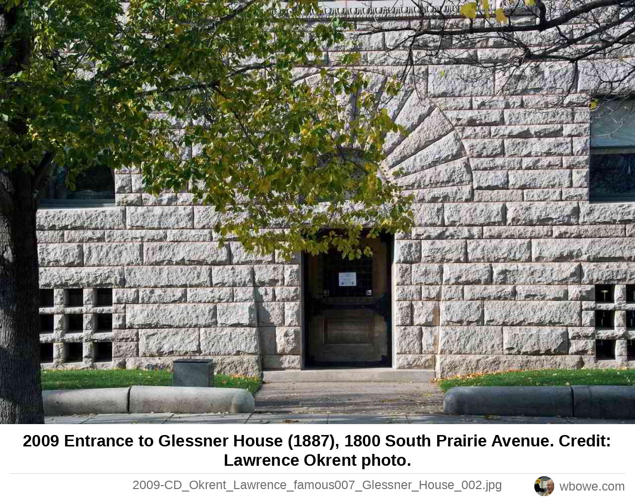
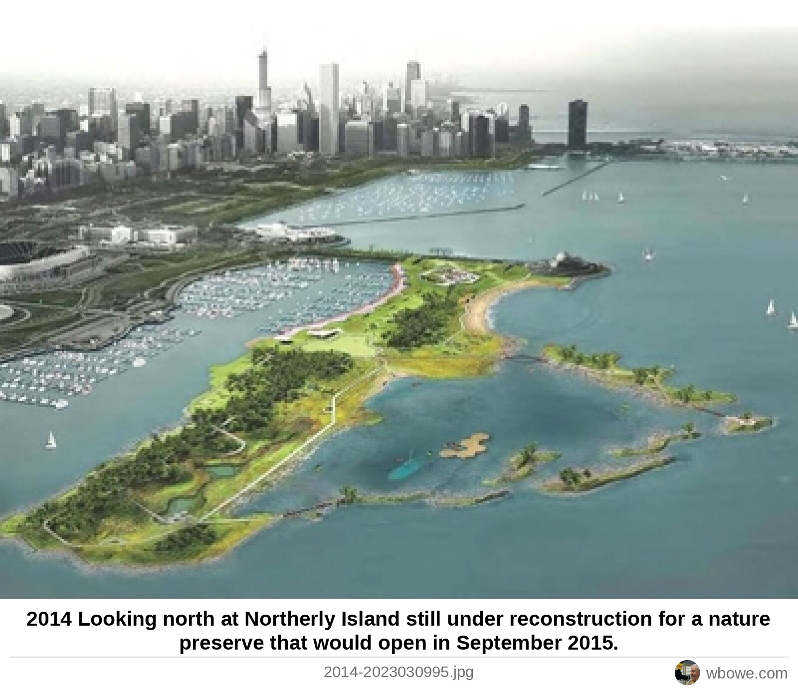
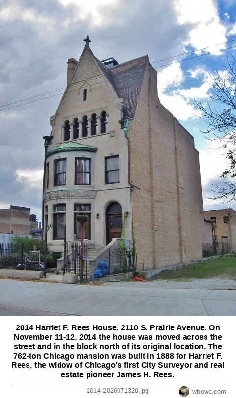
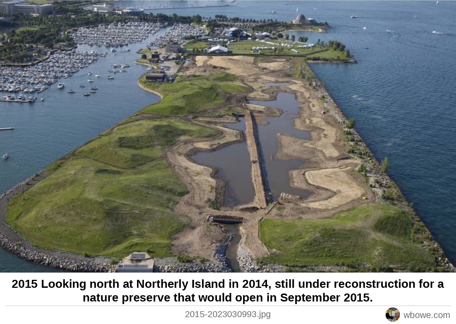
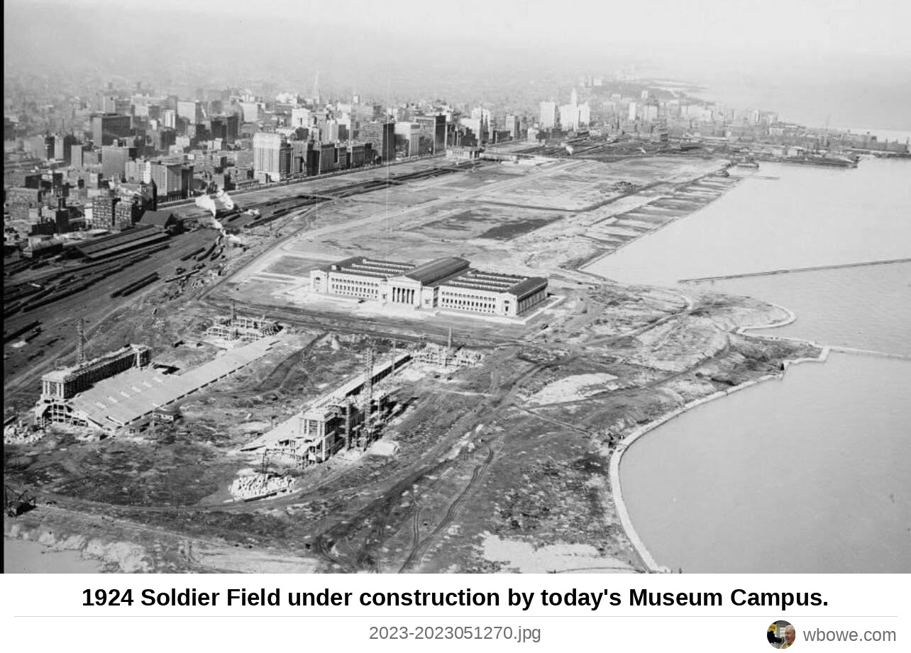
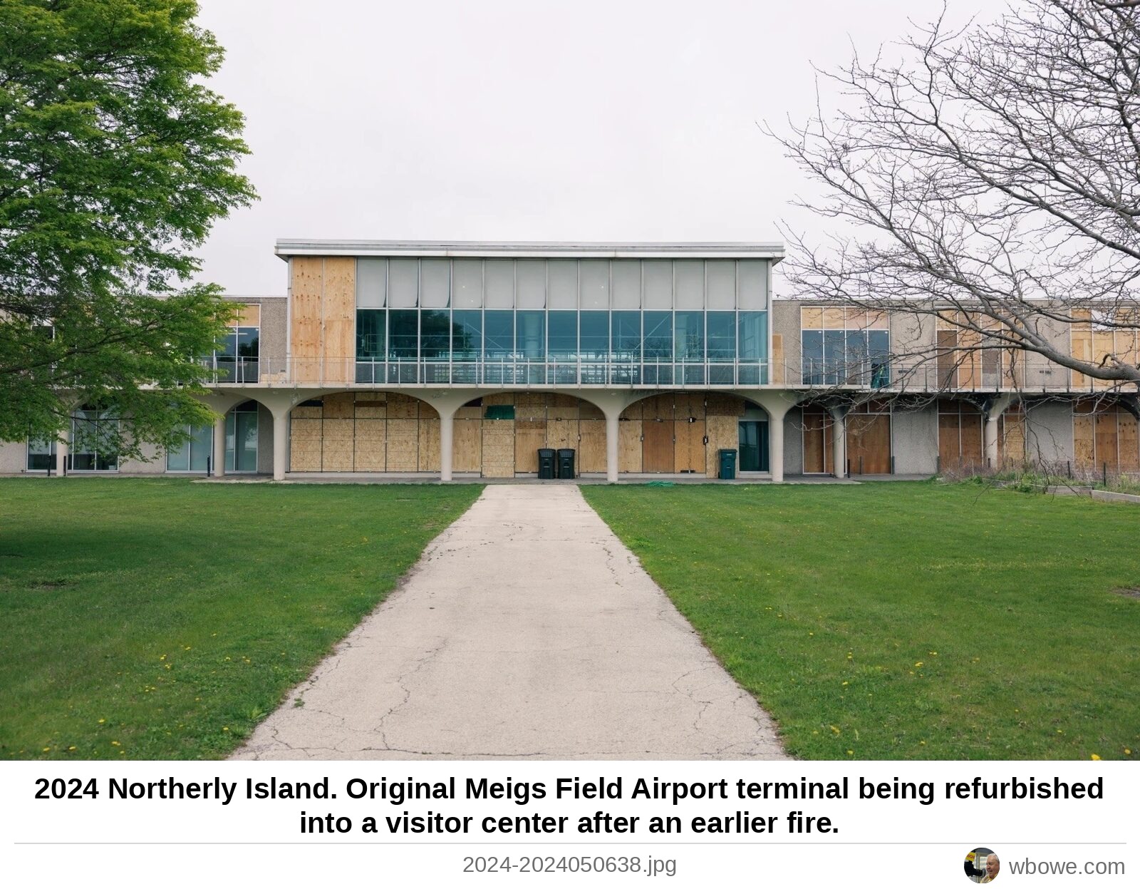
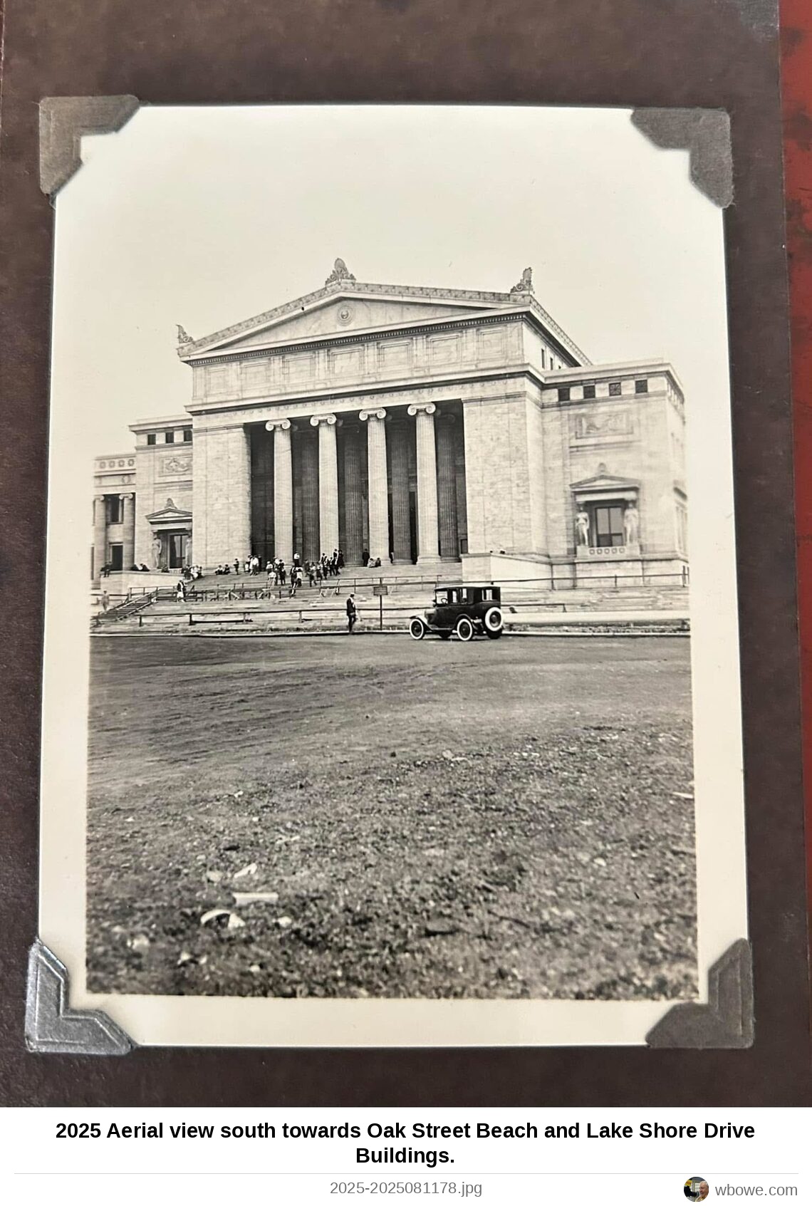
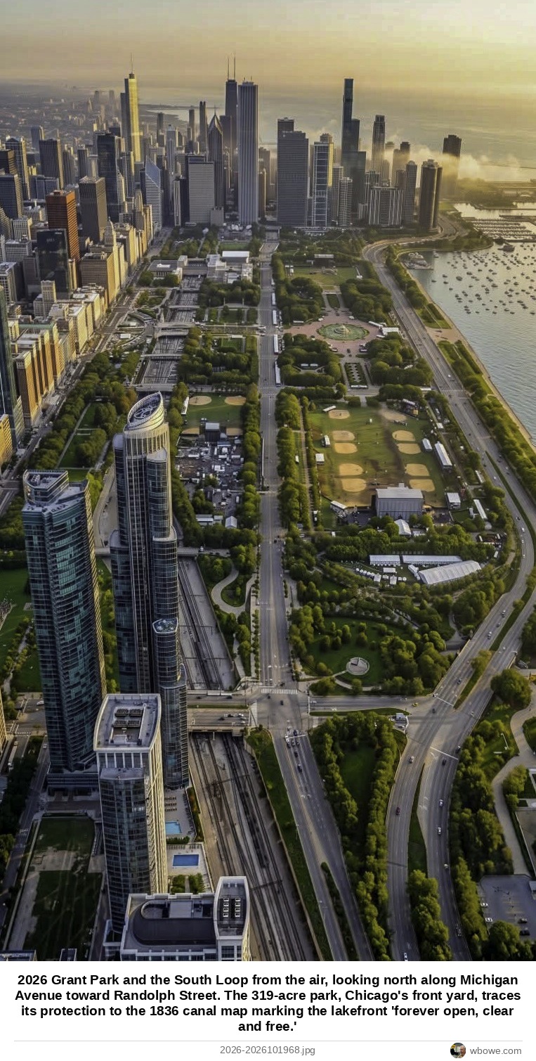
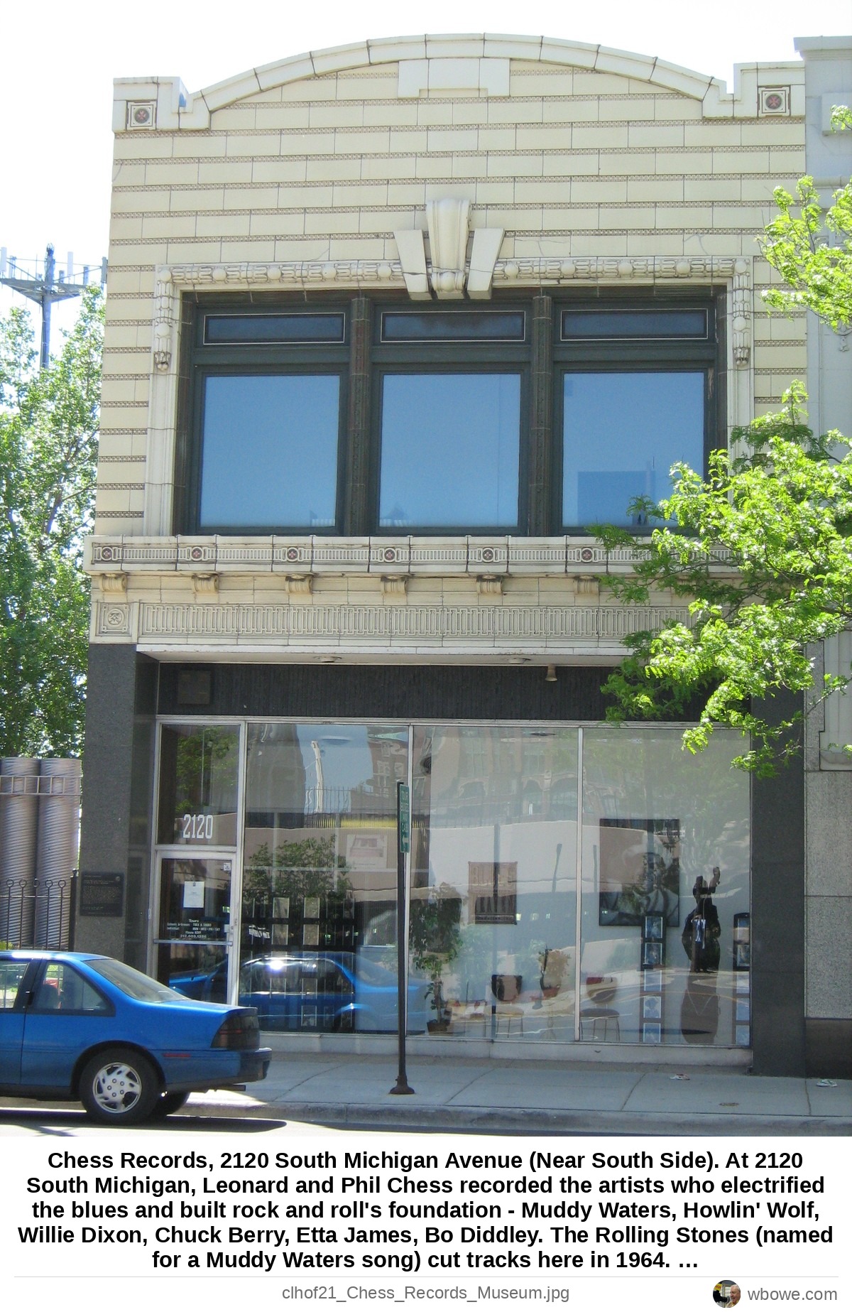
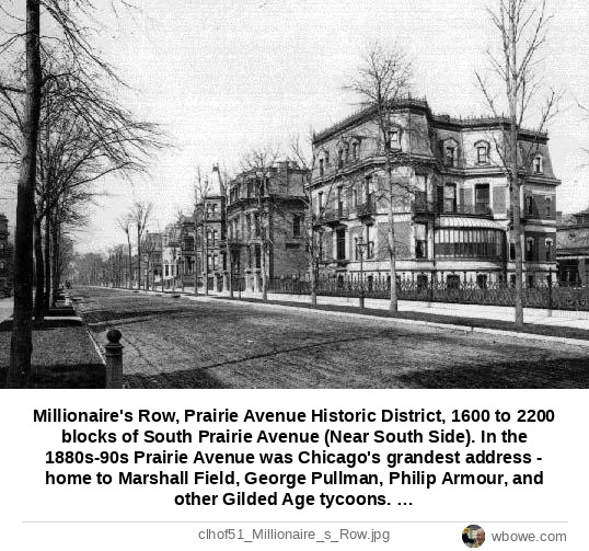
Fort Dearborn Park 1812 The Henry B. Clarke House, 1827 South Indiana Avenue in the historic Prairie Avenue District c1836 The Fernando Jones house, 1834 South Prairie Avenue in Chicago 1866 The Marshall Field House, 1905 Prairie Avenue 1871 1905 South Prairie Avenue, Marshall Field's Mansion built between 1873 and 1876 1880 George Wheeler Mansion, 1812 South Prairie Avenue 1884 Joseph Sears House, 1815 South Prairie Avenue 1885 Illinois Central train engine near the foot of 18th Street 1888 Cobb and Frost's Richardsonian O.R. Keith House, 1900 South Prairie Avenue 1889 2400 South Michigan Avenue 1889 Near Roosevelt Road and Michigan Avenue 1893 llinois Central Train Station (1893-1972) 1894 Illinois Central Railway Station, South Michigan Ave at 12th Street (now Roosevelt Road 1895 The Fort Dearborn Massacre Monument, 18th Street at Calumet Avenue c1895 18th Street and Prairie Avenue 1895 Illinois Central Station, 12th Street near South Michigan Avenue 1898 South Michigan Avenue and Grant Park (then called Lake Park) 1898 The Coliseum 1899 llinois Central Train Station (1893-1972) 1901 llinois Central Train Station (1893-1972) 1901 Glessner House courtyard, 1800 South Prairie Avenue 1902 Clark Street and Jackson Boulevard 1906 Guangdong Teahouse and South Clark Goods, 200-300 block of South Clark Street in downtown Chicago 1910 1513 South Wabash Avenue 1912 Joseph Sears House, 1815 South Prairie Avenue 1915 View of the construction taking place at the east side of the new Field Museum of Natural History 1915 Field Museum 1920 Wholesale Furniture Exposition Building, 1323 South Michigan Avenue 1920 Colosimo's Cafe, 2126 South Wabash owned by gangster "Big Jim" Colosimo c1917 6/1/1923 Glessner House, 1800 South Prairie Ave, Chicago, IL West view from Prairie Avenue, Chicago, IL 1923 1923 Soldier Field 1924 Aerial View 1924 Soldier Field, 1410 South Museum Campus Drive 1924 Chicago Coliseum, 1466 South Wabash Avenue 1926 12th Street and South Michigan Avenue 1926 View east of cranes at the Shedd Aquarium under construction 1928 The Adler Planetarium Under Construction along the shores of Lake Michigan 1929 View of train yards south of Loop Buildings 1930 Aerial view of Adler Planetarium on Northerly Island 1930 1300 South DuSable Lake Shore Drive 1930 Downtown Chicago in 1930 stood as a living monument to American ingenuity and resilience 1930 The Field Museum of Natural History 1932 View looking north from the east tower of the Sky Ride shows the Century of Progress World's Fair under construction 1933 Century of Progress Miniature Railroad flyer 1933 Century of Progress Miniature Railroad flyer 1933 Century of Progress Fair, Miniature Railroad flyer 1933 Century of Progress Fair, Miniature Railroad flyer 1933 Century of Progress Fair, Miniature Railroad flyer 1933 Southeast panorama aerial view of the Century of Progress Exposition on Northerly Island (before and after it was Meigs Field airport) 1933 Aerial view north of the Century of Progress Exposition on Northerly Island (before and after it was Meigs Field airport) 1933 Aerial view north of the Century of Progress Exposition on Northerly Island (before and after it was Meigs Field airport) 1933 Colored drawing of the Century of Progress Exposition on Northerly Island (before and after it was Meigs Field airport) 1933 Aerial view north of the Century of Progress Exposition on Northerly Island (before and after it was Meigs Field airport) 1933 Skyline ride to the Century of Progress World's Fair on Northerly Island 1933 Lake Shore Drive by the Field Museum 1934 2220 South Wabash Avenue, Al Capone's rumoured hideout 1935 12th Street and the Outer Drive 1935 Chicago Coliseum, 1466 South Wabash Avenue near 1935 Soldier Field Stadium ski jump 1936 View of ski jump built over the south stands at Soldier Field for the Central United States Ski Championship 1937 Soldier Field 1938 The Shedd Aquarium 1940 Aerial view southeast of the Illinois Central Railroad Central Train Station, East of South Michigan Avenue on East 12th Street 1940 Adler Planetarium, later on Museum Campus 1942 Northerly Island under construction 1947 Aerial view of Burnham Harbor from over the south Loop 1947 Park near Soldier Field 1948 Burnham Park 1948 1826 South Michigan Avenue 1950 Merrill C. Meigs Field, Northerly Island 1950 Advertisement for the formal dedication of Merrill C. Meigs Field Airport 1950 1801 Prairie Avenue, Kimball House, Solon Spencer Beman home from 1892 1951 View of the Prudential Building under construction, the first new skyscraper in the 21 years since the Field Building in 1934 1953 South Michigan Avenue and Roosevelt Road 1953 Soldier Field Stadium ski jump 1954 Soldier Field Stadium ski jump 1954 Soldier Field 1954 Aerial view north towards the Loop 1954 Soldier Field ski jump construction 1954 A NASCAR race in the stadium 1956 Above 35th Street and the Outer Drive 1957 Clark Street at Roosevelt Road 1958 View northwest of Loop buildings from the Adler Planetarium 1960 Hilliard Homes, 2013 South Clark at State Street 1963 llinois Central Train Station (1893-1972) 1965 llinois Central Train Station (1893-1972) 1965 View east-southeast from the intersection of 25th Street and Michigan Avenue 1965 Glessner House, 1800 South Prairie Avenue 1965 Glessner House, 1800 South Prairie Avenue 1965 The first McCormick Place convention hall burns down 1967 McCormick Place 1967 McCormick Place 1967 McCormick Place 1967 McCormick Place 1967 McCormick Place after Fire Destruction, 23rd Street and the Outer Drive 1967 George H. Wheeler mansion, 1812 South Prairie Avenue 1968 Aerial view of Soldier Field Stadium 1970 McCormick Place Campus 1971 McCormick Place Campus 1971 McCormick Place Campus 1971 Postcard of the City of New Orleans Illinois Central train by the R.R. Donnelley Printing plant at 350 East Cermak Road 1971 linois Central Train Station (1893-1972) 1972 Shedd Aquarium 1972 16th Street near South Wabash Avenue 1973 linois Central Train Station (1893-1972) 1975 A Neoclassical temple to marine life, decorated with turtles and dolphins in its marble 1977 Helicopter view south of the Shedd Aquarium along the lakefront 1977 Archer and State Street 1992 Meigs Field 1992 Southeast view of the Shedd Aquarium from the Straus Building at 310 South Michigan Avenue 2002 Meigs Field before closure 2002 Aerial view of Soldiers Field 2002 Aerial view of Soldier Field Reconstruction 2002 View north of Meigs Field airport after closure by Mayor Richard M. Daley 2003 Working overnight, construction crews tore up the runway at Meigs Field on March 31, 2003 2003 "X'" signs were placed at the North and South ends of the Meigs Field runway, warning pilots that the airport is closed 2003 Post-2003 Meigs Field before redevelopment 2003 Post-2003 Photo of Meigs Field before redevelopment 2003 Glessner House (1887), 1800 South Prairie Avenue 2009 Entrance to Glessner House (1887), 1800 South Prairie Avenue 2009 Looking north at Northerly Island still under reconstruction for a nature preserve that would open in September 2015 2014 Looking north at Northerly Island still under reconstruction for a nature preserve that would open in September 2015 2014 Harriet F. Rees House, 2110 S. Prairie Avenue 2014 Harriet F. Rees House, 2110 S. Prairie Avenue 2014 Looking north at Northerly Island in 2014, still under reconstruction for a nature preserve that would open in September 2015 2015 Proposed further redevelopment of Northerly Island and Meigs Field 2023 Soldier Field under construction by today's Museum Campus 1924 Northerly Island 2024 Aerial view south towards Oak Street Beach and Lake Shore Drive Buildings 2025 Grant Park and the South Loop from the air, looking north along Michigan Avenue toward Randolph Street 2026 Chess Records, 2120 South Michigan Avenue (Near South Side) Millionaire's Row, Prairie Avenue Historic District, 1600 to 2200 blocks of South Prairie Avenue (Near South Side)