Vintage ChicagoA Cliff Dweller's History in photographs Open the interactive map ›

Garfield Ridge: 12 vintage photos, 1900–1987

Every Garfield Ridge photograph on the Vintage Chicago map, oldest first. The color bar on each photo shows its era. Click a photo for its full story and its place on the map.

Open Garfield Ridge on the Vintage Chicago map▶ Play the Garfield Ridge slideshow
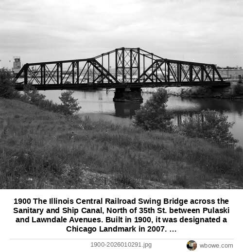
1900 The Illinois Central Railroad Swing Bridge across the Sanitary and Ship Canal, North of 35th St. between Pulaski and Lawndale Avenues
The Illinois Central Railroad Swing Bridge across the Sanitary and Ship Canal, North of 35th St. between Pulaski and Lawndale Avenues1900
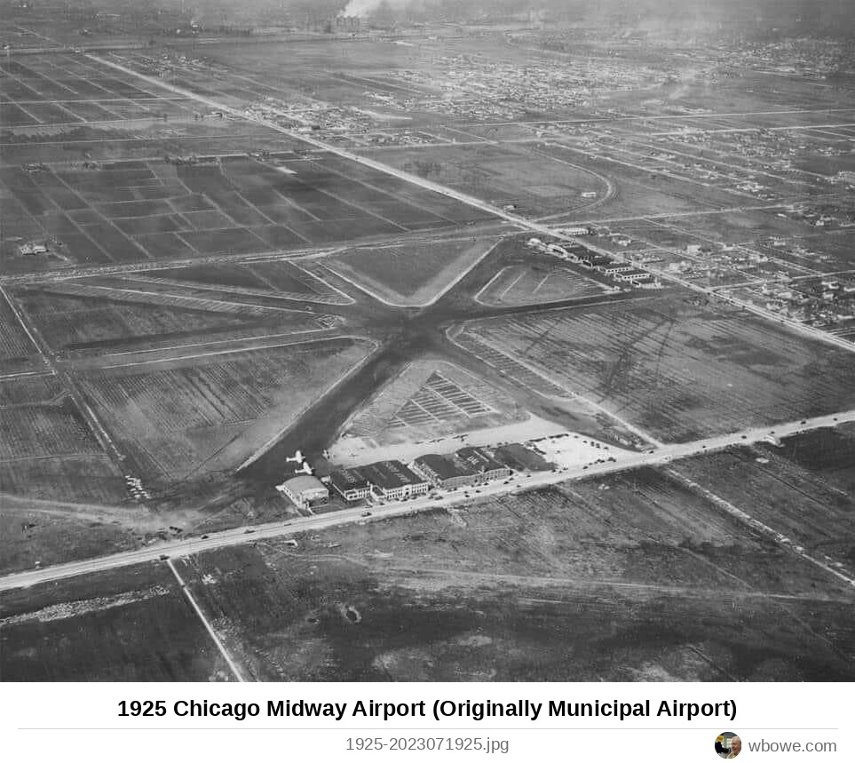
1925 Chicago Midway Airport (Originally Municipal Airport)
Chicago Midway Airport (Originally Municipal Airport)1925
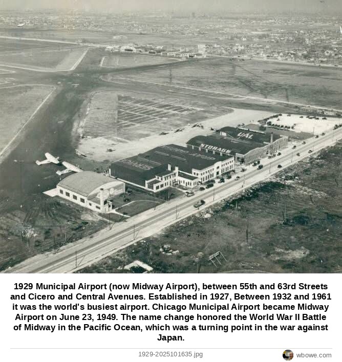
1929 Municipal Airport (now Midway Airport), between 55th and 63rd Streets and Cicero and Central Avenues
Municipal Airport (now Midway Airport), between 55th and 63rd Streets and Cicero and Central Avenues1929
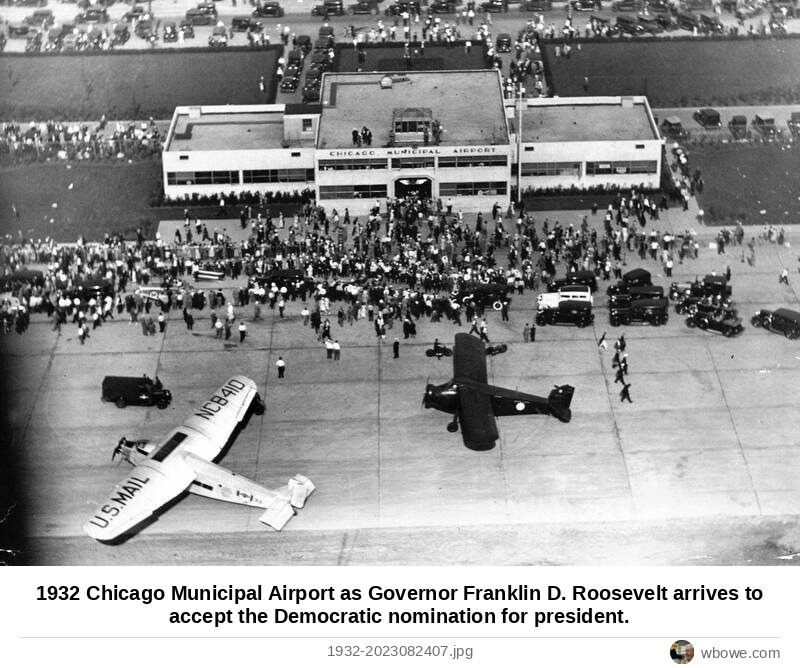
1932 Chicago Municipal Airport as Governor Franklin D. Roosevelt arrives to accept the Democratic nomination for president
Chicago Municipal Airport as Governor Franklin D. Roosevelt arrives to accept the Democratic nomination for president1932
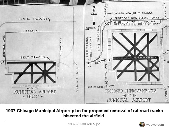
1937 Chicago Municipal Airport plan for proposed removal of railroad tracks bisected the airfield
Chicago Municipal Airport plan for proposed removal of railroad tracks bisected the airfield1937
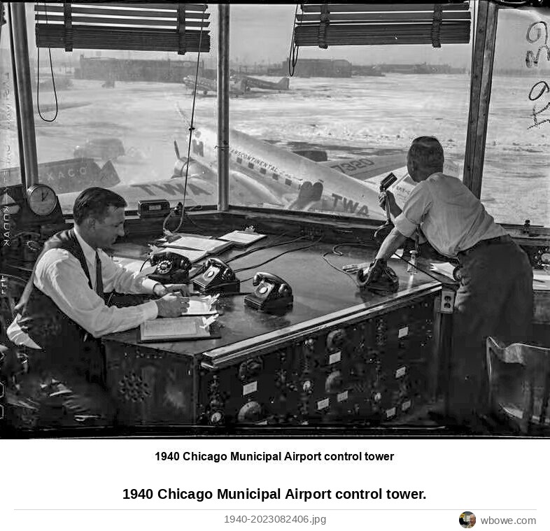
1940 Chicago Municipal Airport control tower
Chicago Municipal Airport control tower1940
1949 Chicago Midway Airport parking lot
Chicago Midway Airport parking lot1949
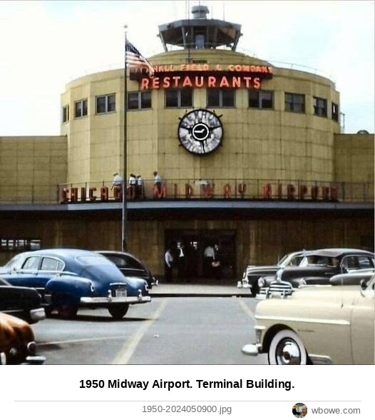
1950 Midway Airport
Midway Airport1950
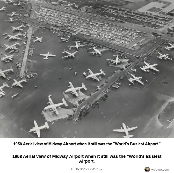
1958 Aerial view of Midway Airport when it still was the "World's Busiest Airport
Aerial view of Midway Airport when it still was the "World's Busiest Airport1958
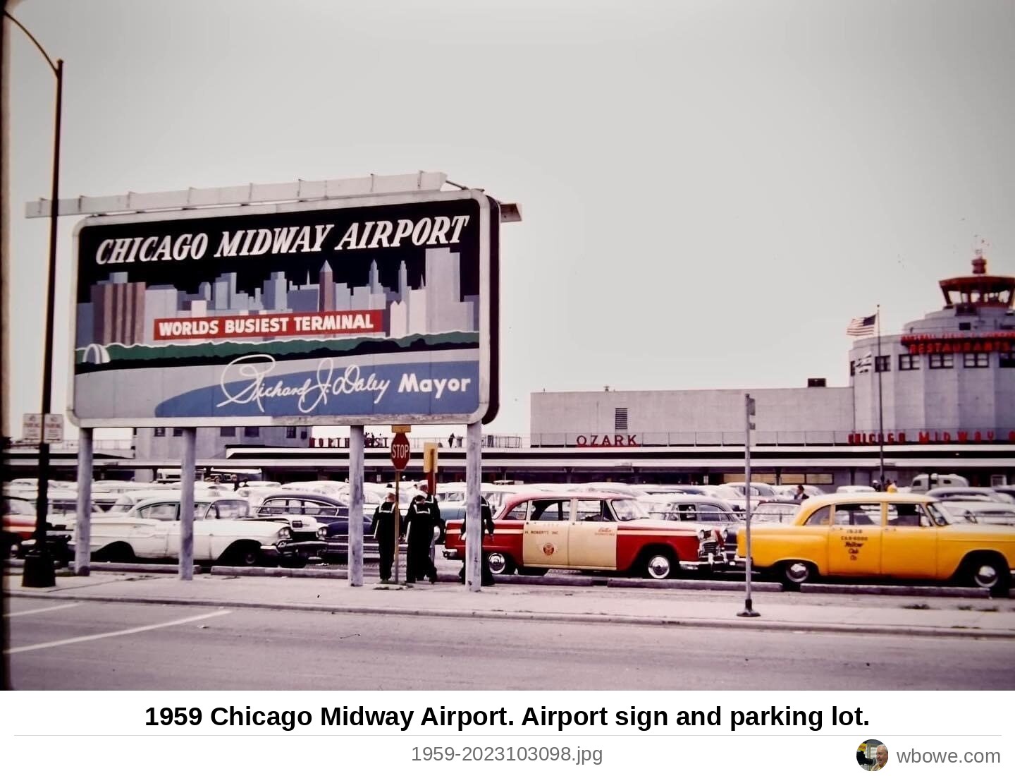
1959 Chicago Midway Airport
Chicago Midway Airport1959
1959 Chicago Midway Airport
Chicago Midway Airport1959
1987 The Belt Railway crossing at 55th Street
The Belt Railway crossing at 55th Street1987