Vintage ChicagoA Cliff Dweller's History in photographs Open the interactive map ›

Bridgeport: 9 vintage photos, 1902–

Every Bridgeport photograph on the Vintage Chicago map, oldest first. The color bar on each photo shows its era. Click a photo for its full story and its place on the map.

Open Bridgeport on the Vintage Chicago map
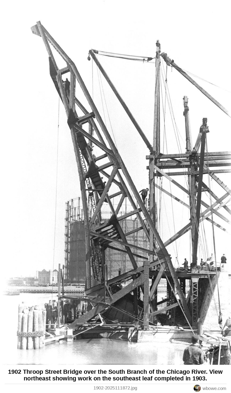
1902 Throop Street Bridge over the South Branch of the Chicago River
Throop Street Bridge over the South Branch of the Chicago River1902
1948 31st and Halsted Streets
31st and Halsted Streets1948
1964 The opening of the Southwest Expressway (now the Stevenson Expressway)
The opening of the Southwest Expressway (now the Stevenson Expressway)1964
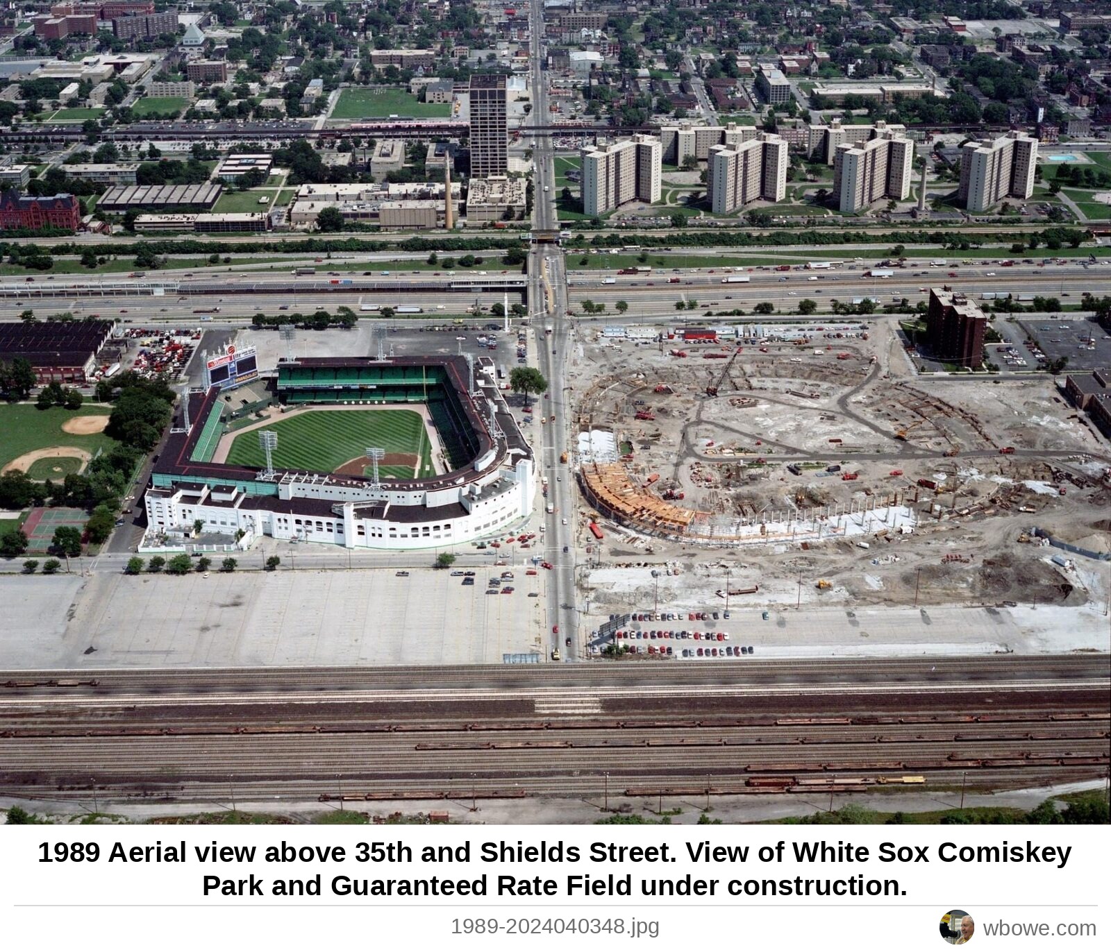
1989 Aerial view above 35th and Shields Street
Aerial view above 35th and Shields Street1989
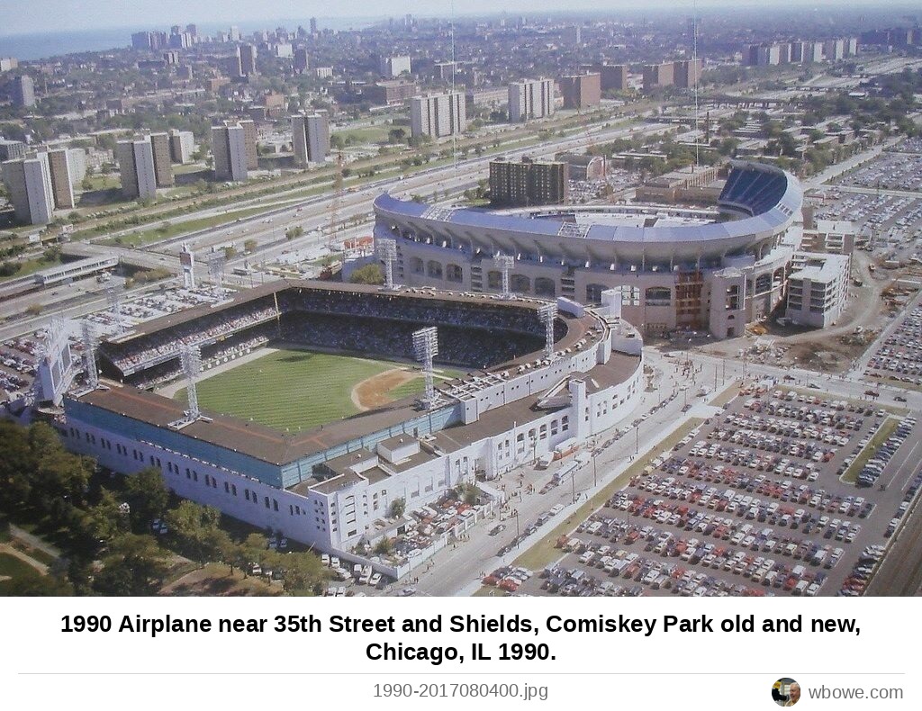
1990 Airplane near 35th Street and Shields, Comiskey Park old and new, Chicago, IL 1990
Airplane near 35th Street and Shields, Comiskey Park old and new, Chicago, IL 19901990
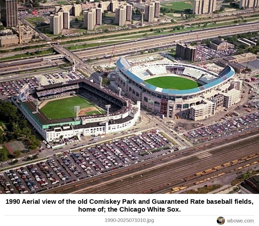
1990 Aerial view of the old Comiskey Park and Guaranteed Rate baseball fields, home of; the Chicago White Sox
Aerial view of the old Comiskey Park and Guaranteed Rate baseball fields, home of; the Chicago White Sox1990
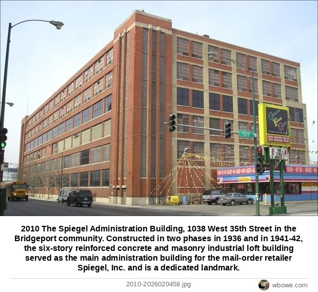
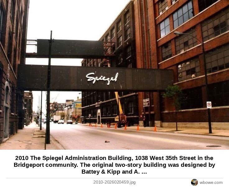
2010 The Spiegel Administration Building, 1038 West 35th Street in the Bridgeport community
The Spiegel Administration Building, 1038 West 35th Street in the Bridgeport community2010
2010 The Spiegel Administration Building, 1038 West 35th Street in the Bridgeport community
The Spiegel Administration Building, 1038 West 35th Street in the Bridgeport community2010
 Mayor Richard J. Daley's Home, 3536 South Lowe Avenue (Bridgeport)
Mayor Richard J. Daley's Home, 3536 South Lowe Avenue (Bridgeport)